
Throwing the One Ring into the Firey Depths of Mt Doom…
04/02/18 – 05/02/18
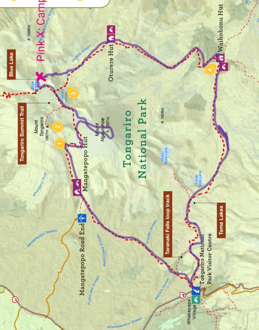
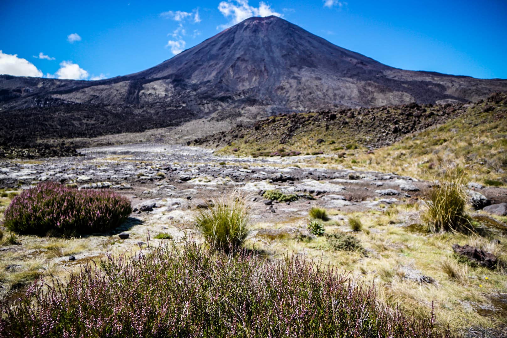
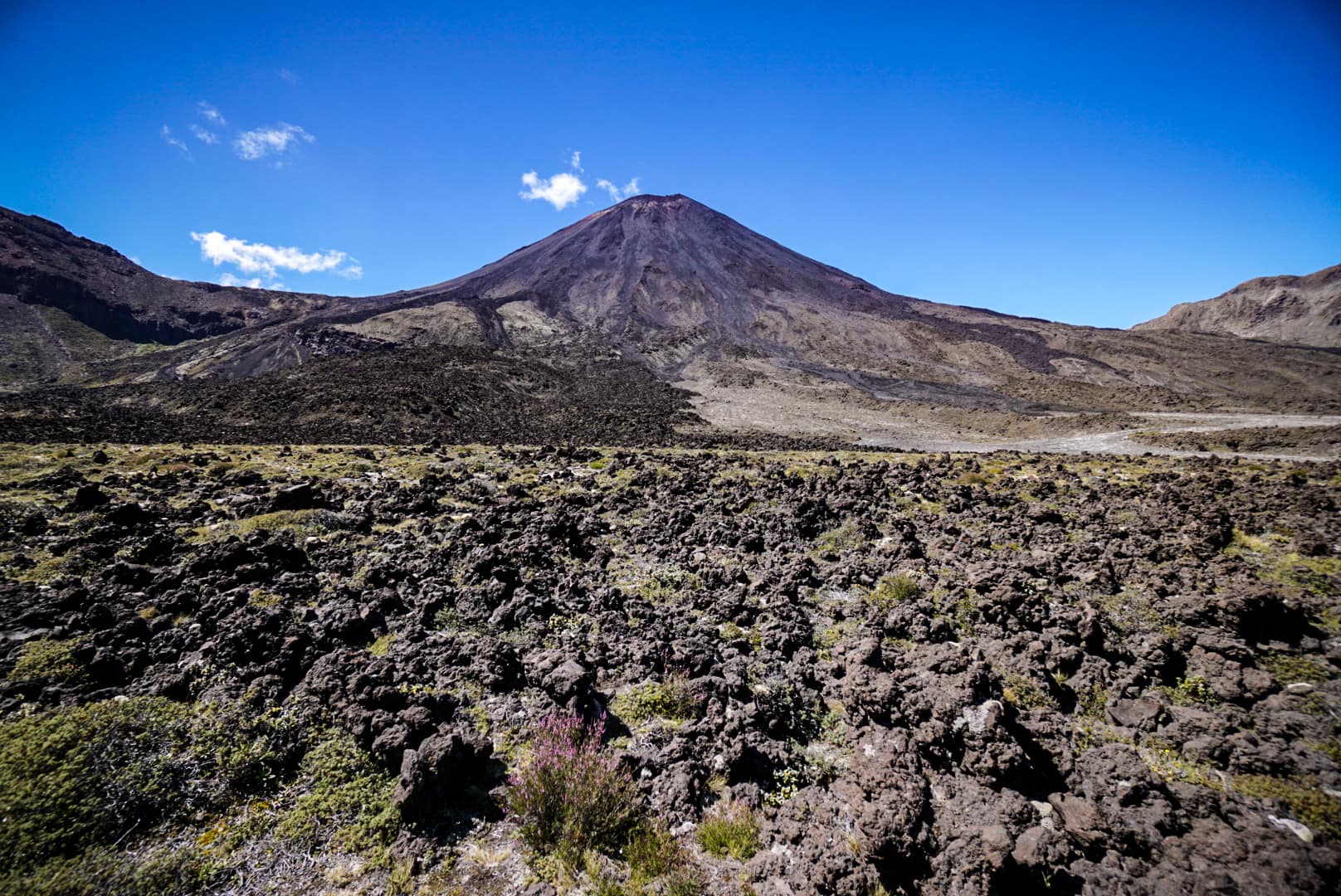
Mt Ngauruhoe and the Tongariro Northern Circuit
The Tongariro Northern Circuit is one of New Zealands ten ‘Great Walks’. These are highly sought after locations that showcase some of New Zealands best scenery. This was to be the first great walk I’d do on North Island. The trail surrounds the volcanic complex of Tongariro, including its own peak (it’s the main volcano), but more extravagantly in shape and size (due to its younger age) is the famous Mt Ngauruhoe which features as Mt Doom in Lord of the Rings. Mt Tongariro is the far more active volcano, erupting frequently, and last in 2012, whilst Mt Ngauruhoe last erupted in 1977.
Day 1
Getting on trail super early was not of my best intentions for this particular hike. The reason being is that about 1/3 of the circuit is the famous Tongariro Alpine Crossing day hike, which every tourist does, flip flops or hiking boots. It’s probably the hardest actual day hike I can think of though, being quite lengthy and having such difficult potential side trips and quite some elevation gain/loss. Most of these tourists use the shuttle bus service and seem to start arriving hourly from around 6am, and finish up by 5-6pm.
Whakapapa Village
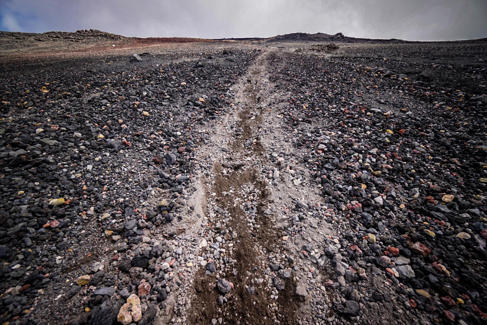
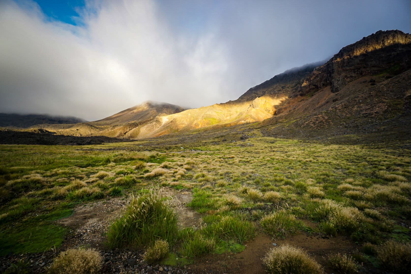
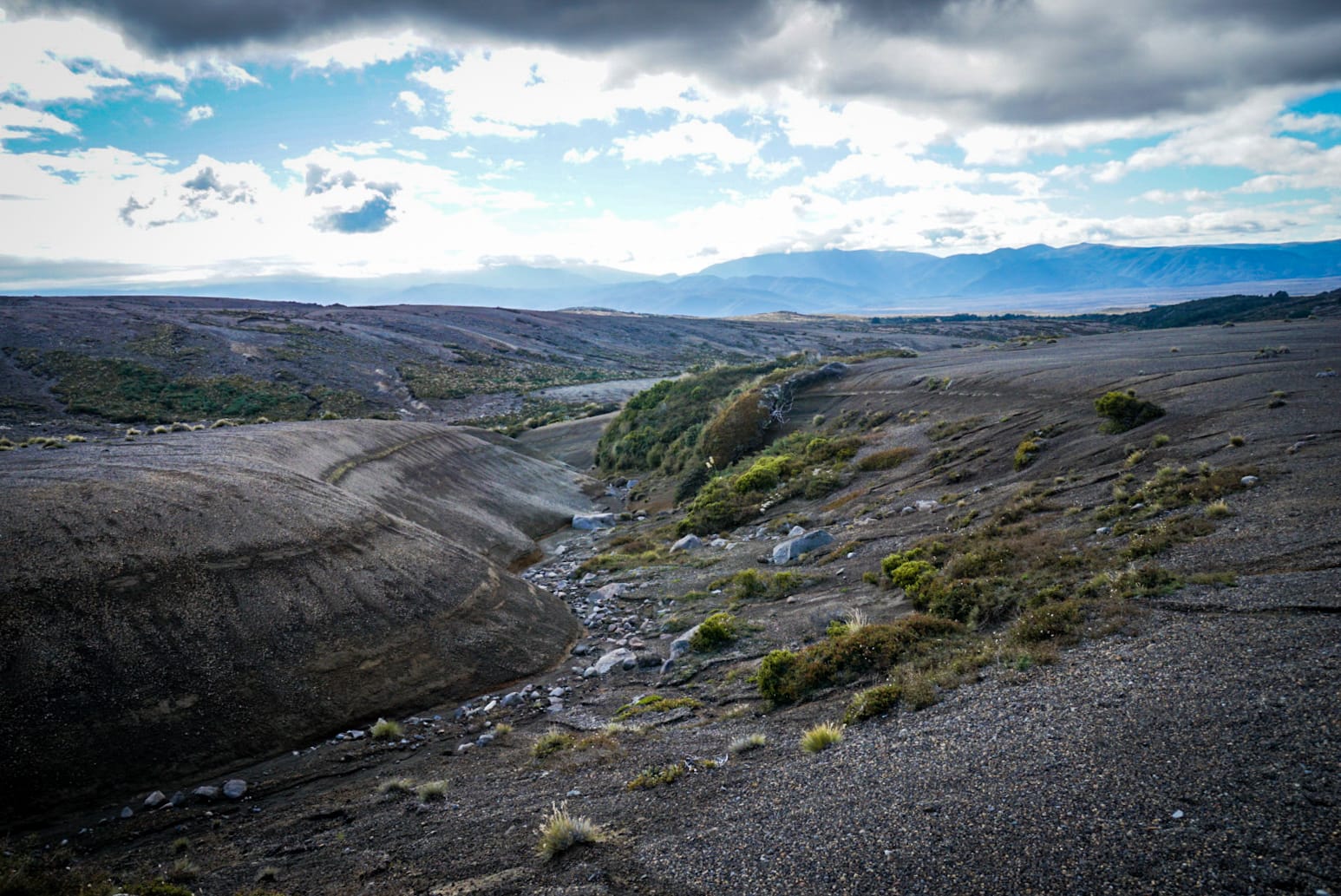
I ended up starting the circuit just before 9am from Whakapapa Village (pronounced Fuck-a-pup-a, which is kind of amusing 😂). This first section to Mangatepopo Hut was… nothing special – relatively washed out uninteresting trail with some views of both Mt Ruhapehu and Ngauruhoe in the distance.
Alpine Crossing Section
Once passing Mangatepopo hut, you join up on the extremely well maintained trail of the Alpine Crossing trek with all the day tourists. Thankfully, my timing was good and I only periodically saw these ‘lesser beings’ 😇.
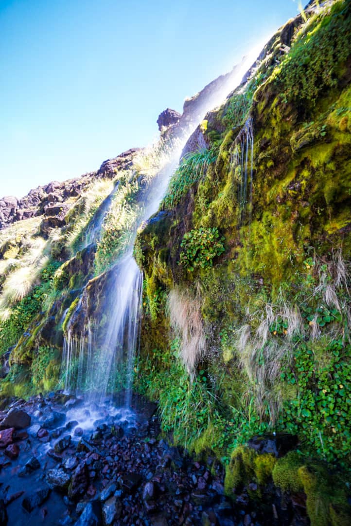
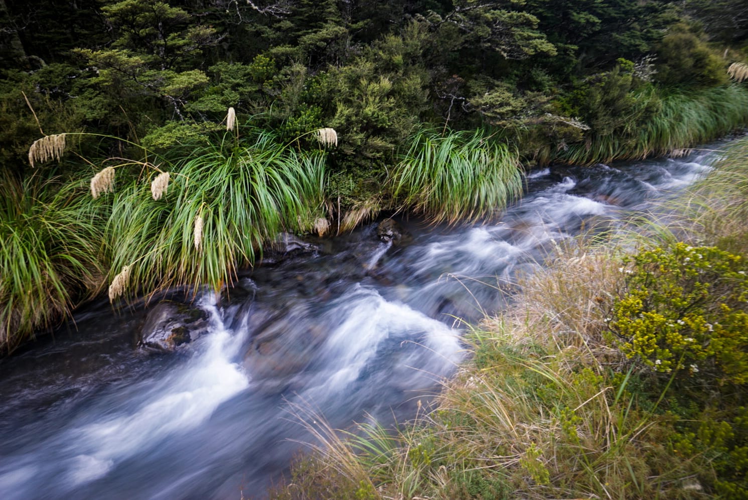
The trail now heads up a valley following a small stream fed by Soda Springs waterfall, a cute little waterfall off to the side of the trail.
You begin to see the forefront of historical lava flows at this point, and why the site was chosen for Mordor in Lord of the Rings.
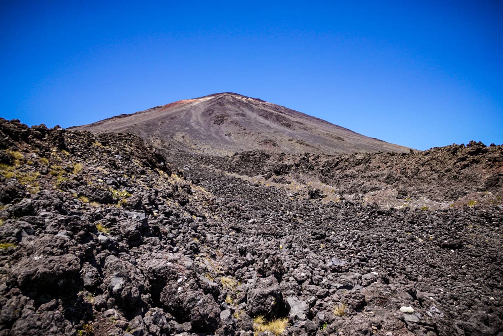
There is a short 250m accent after the waterfall to a point right between Mt Tongariro and Mt Doom (this is what I’m calling it from now on). It was here I deviated from the tourist path and made my way to summit Mt Doom. There used to be a side trail, but they removed it due to cultural conflicts. Much like with what happened to Uluru in Australia. I wholeheartedly respect most cultural practices, especially with such an interesting and young historical culture of the Maori, but not when they prevent me from doing something I feel they have no part in for making rules.
Mt Ngauruhoe ( Mt Doom) Ascent
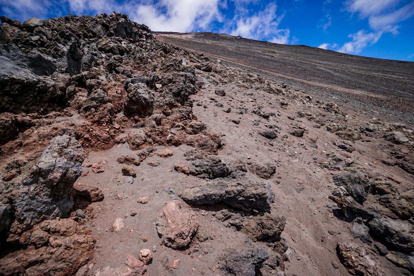
Before climbing, I ditched everything from my pack I didn’t need behind a secluded rock and made for the mountain. It turns out I want alone, and several others were making their way up and down its scree slopes.
I chose a path leading to the rocks, very much like what I did on Mt Taranaki going up from Syme Hut. Solid rocks are easy to climb. I ascended quite fast, and it only took about an hour and a half at most. I reached the eastern side first and decided to circumnavigate the entire summit from there.
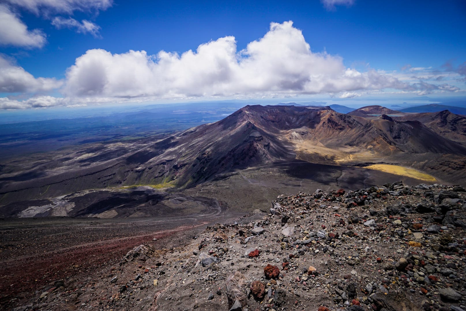
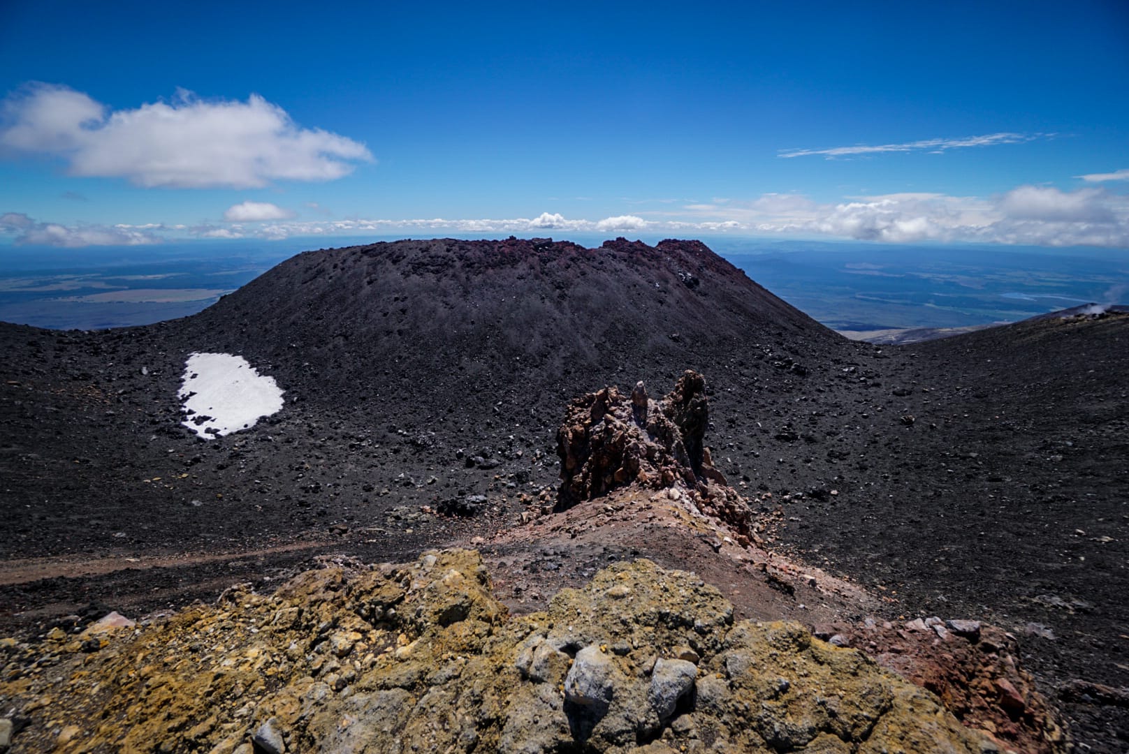
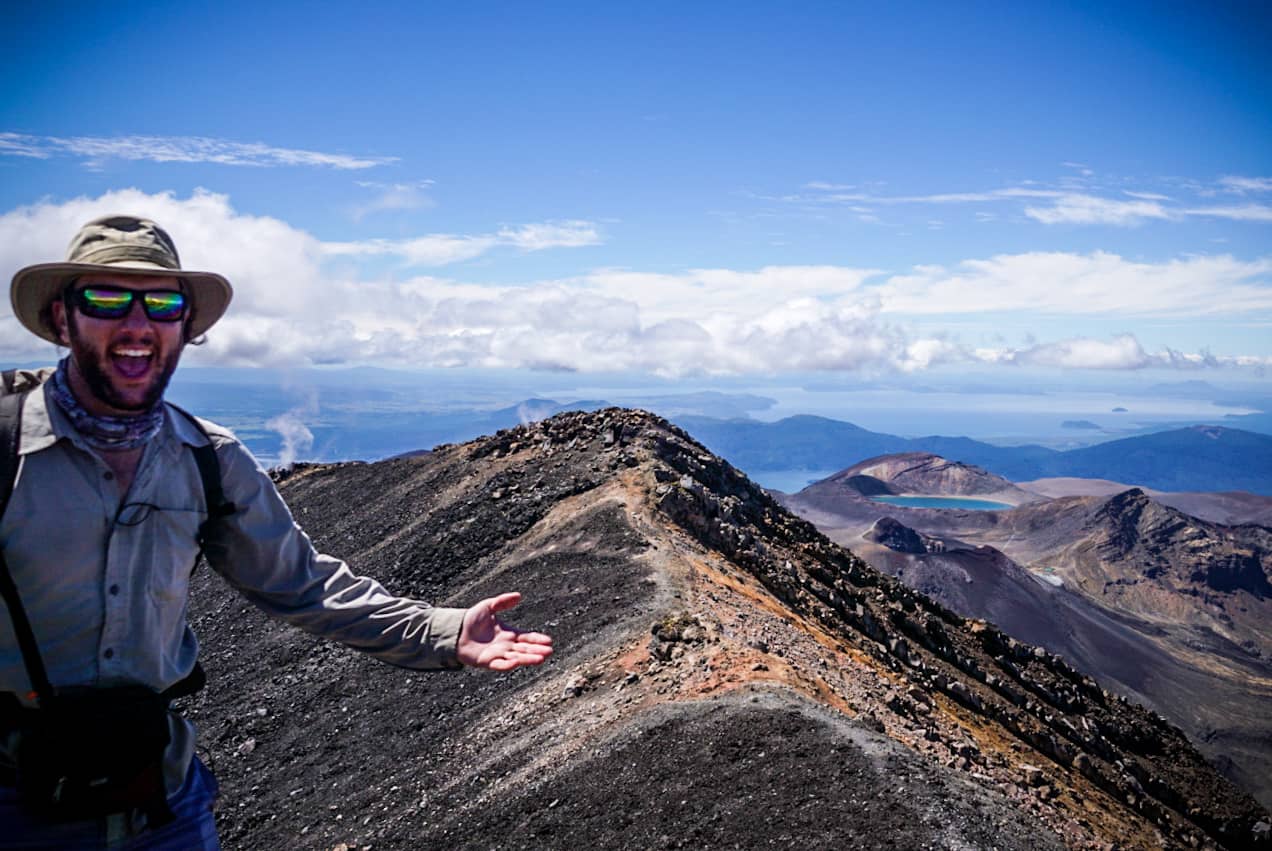
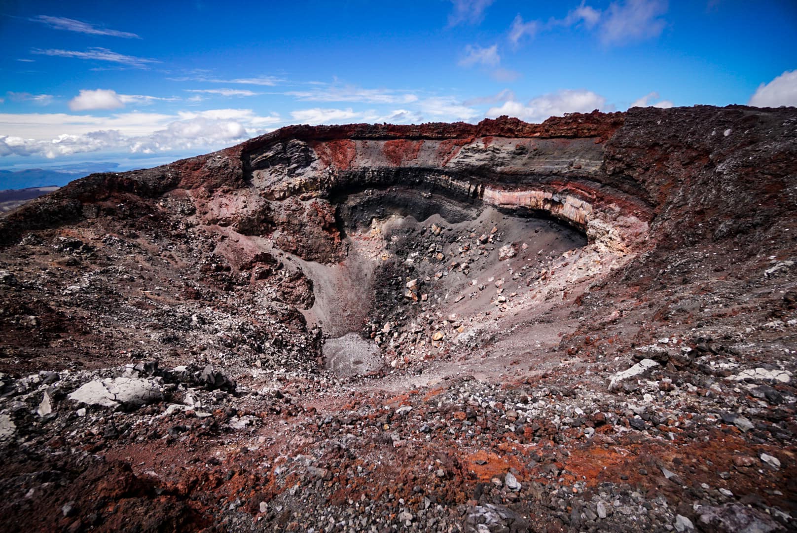
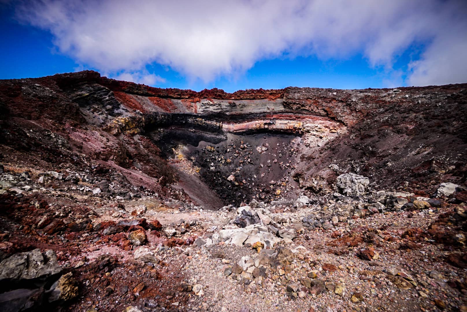
Summit
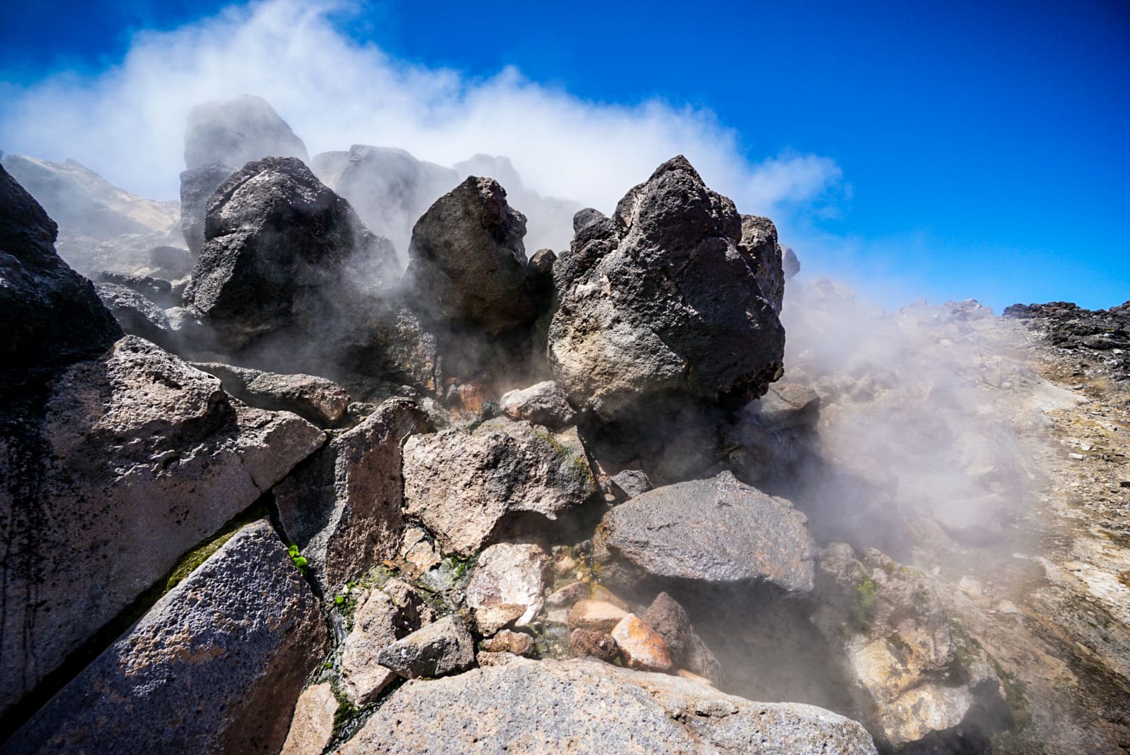
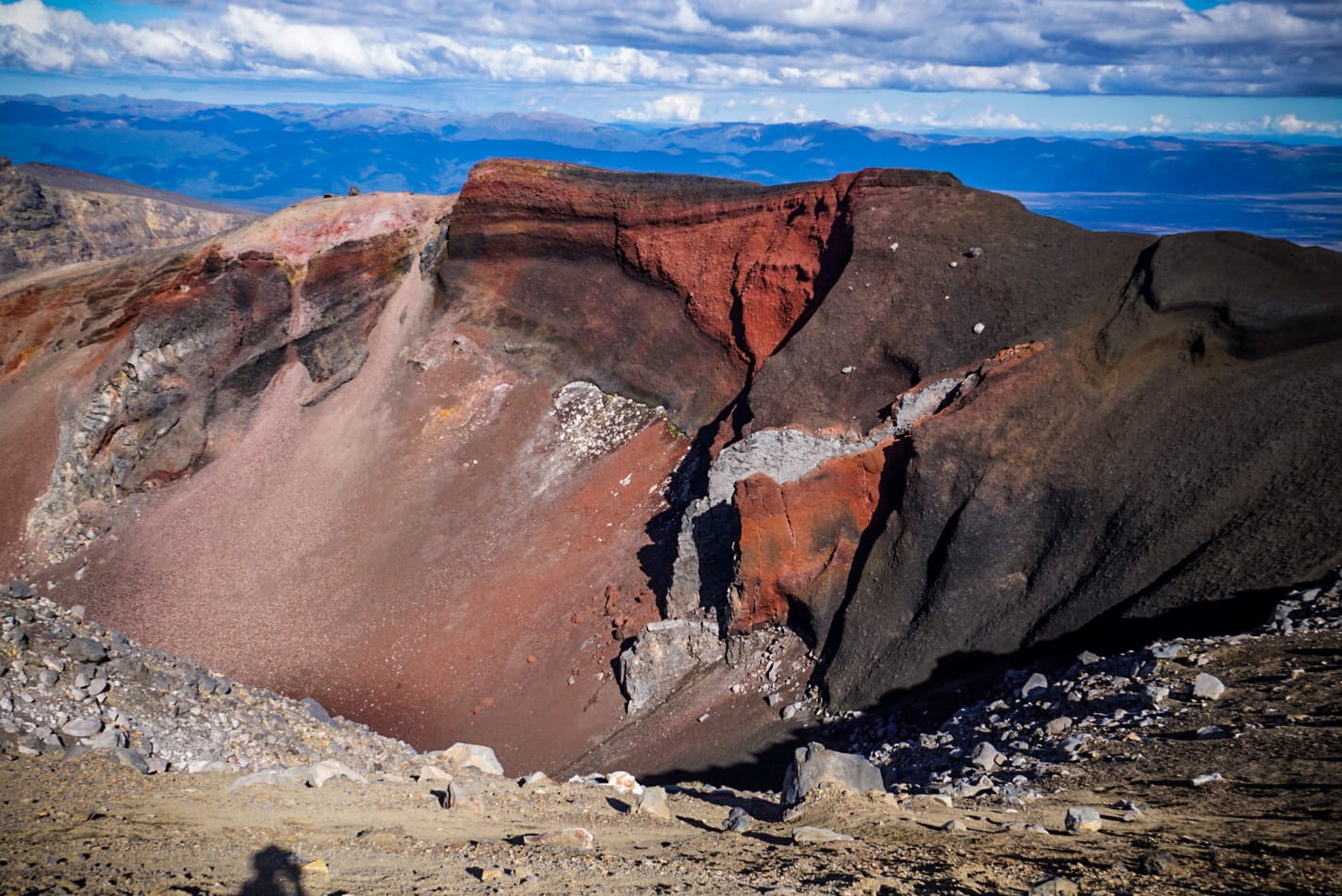
My first stop was a system of steaming vents – I saw these even from the base thinking they were clouds at first. I first thought they might be dangerous hydrogen sulfide gases, but luckily when I got closer, I realised they were mostly water vapour from the magma below boiling the water caught in the rocks.
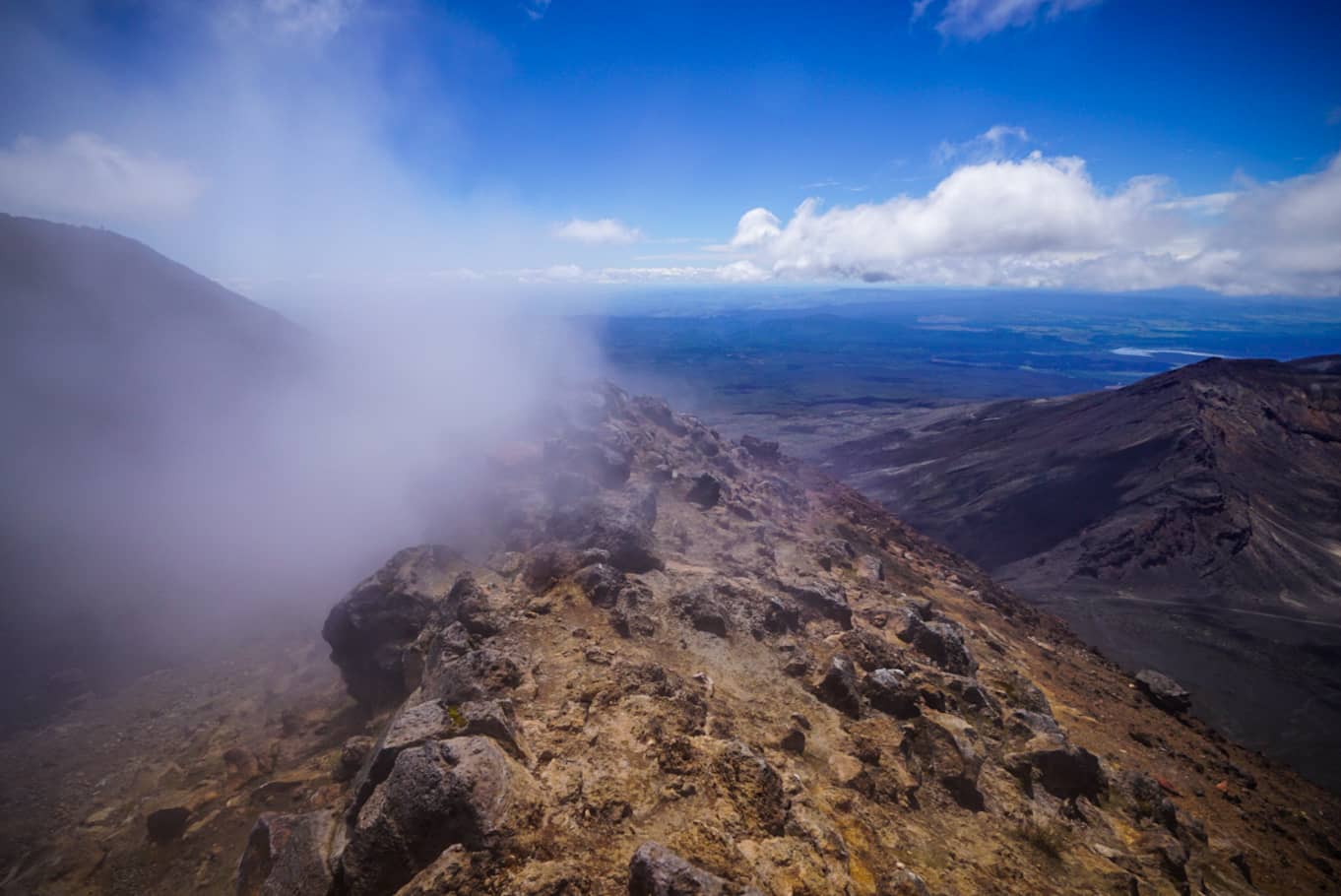
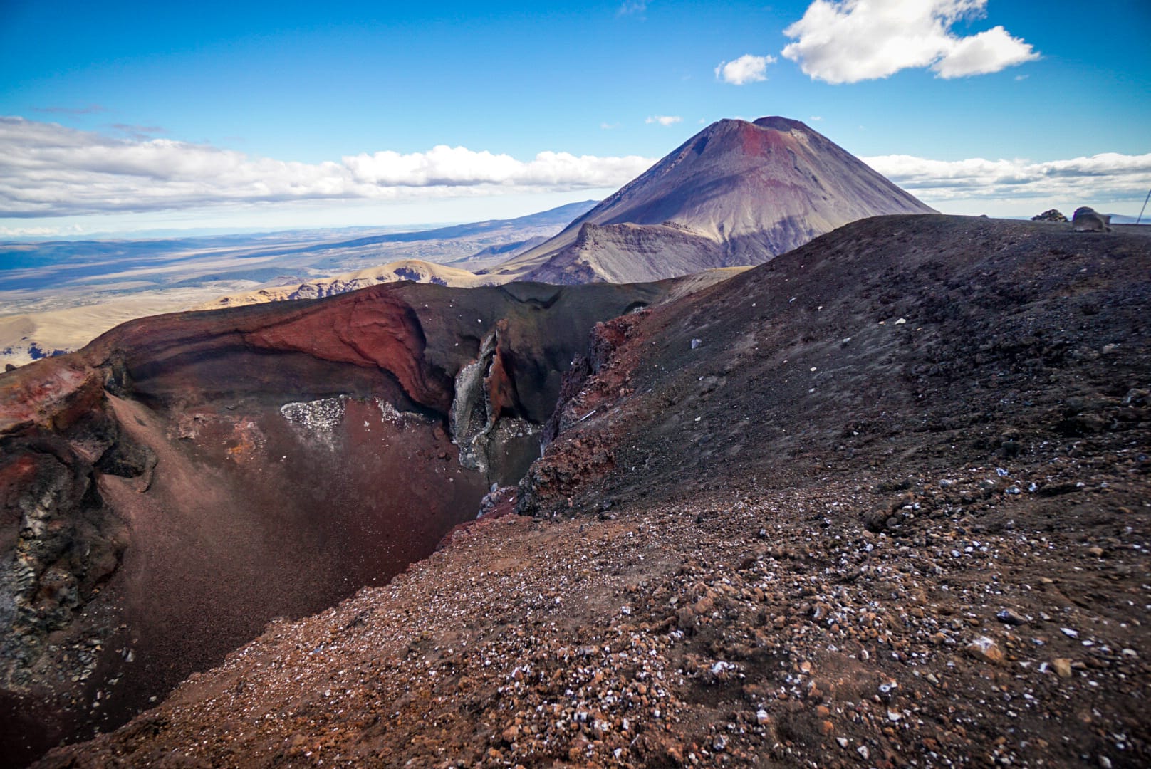
They I moved around to the actual highest point. To describe the summit, think of an almost perfect conical volcano with a hole in the top where the caldera would be, only there is kind of a second rim around the south-eastern side below this. The highest point is on the edge of this rim, not that most realise this, as it’s nearly the same height as the centre cone. From here you see great views towards Blue Lake.
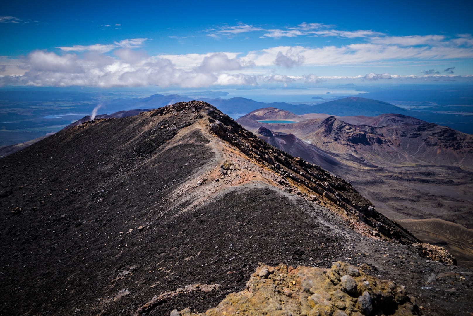
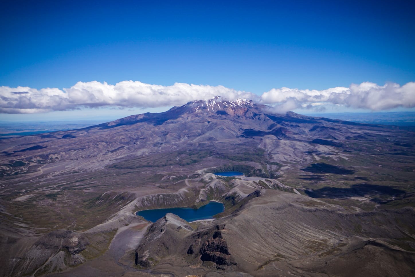
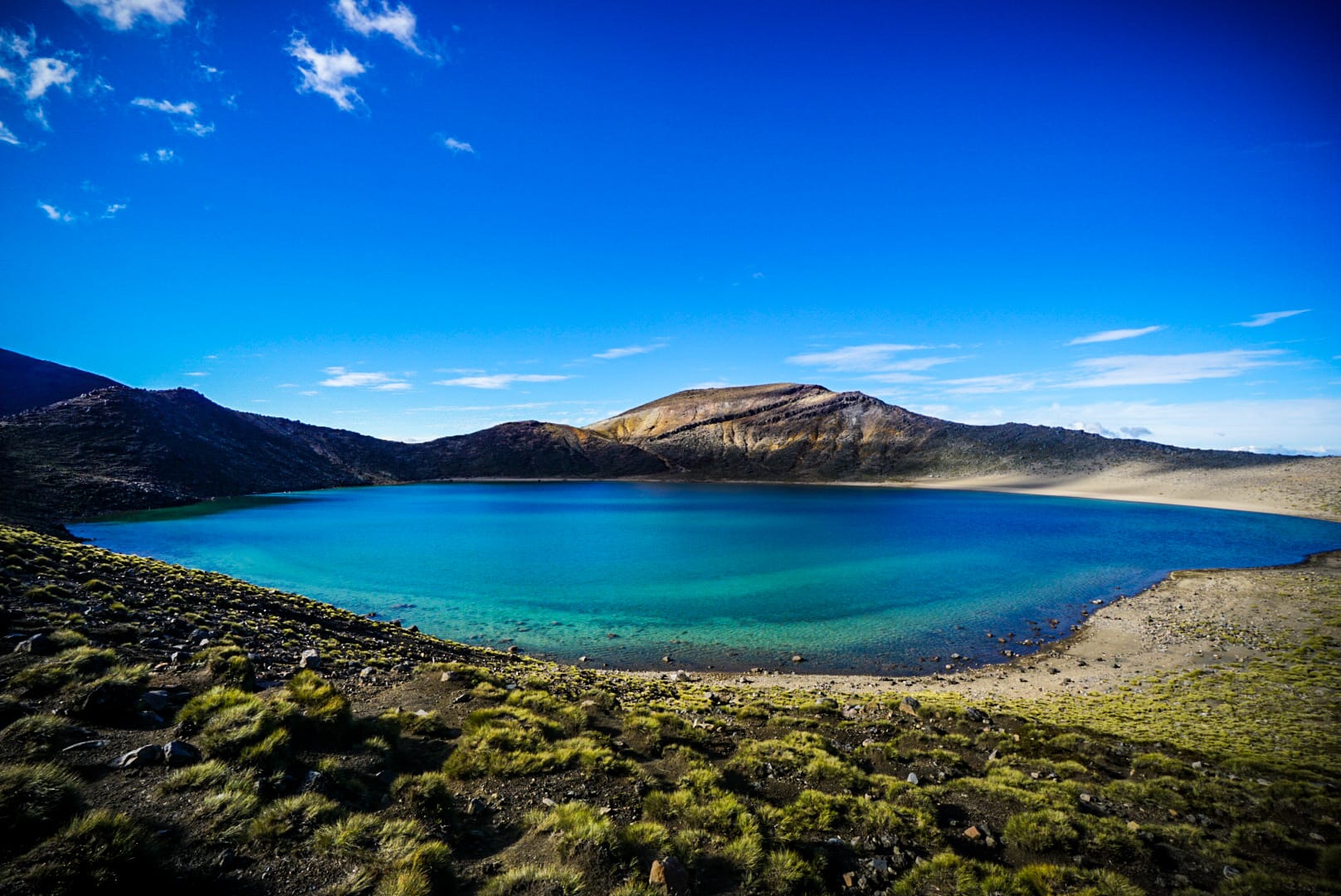
Moving around the rim further you see the Tama Lakes and Mt Ruapehu in the background. It turns out this is the only view I’d really get of Tama Lakes as the next day when I’d walk past them it was pouring rain.
I then went around the main centre caldera and it was impressive. Vibrant and looking dangerous.
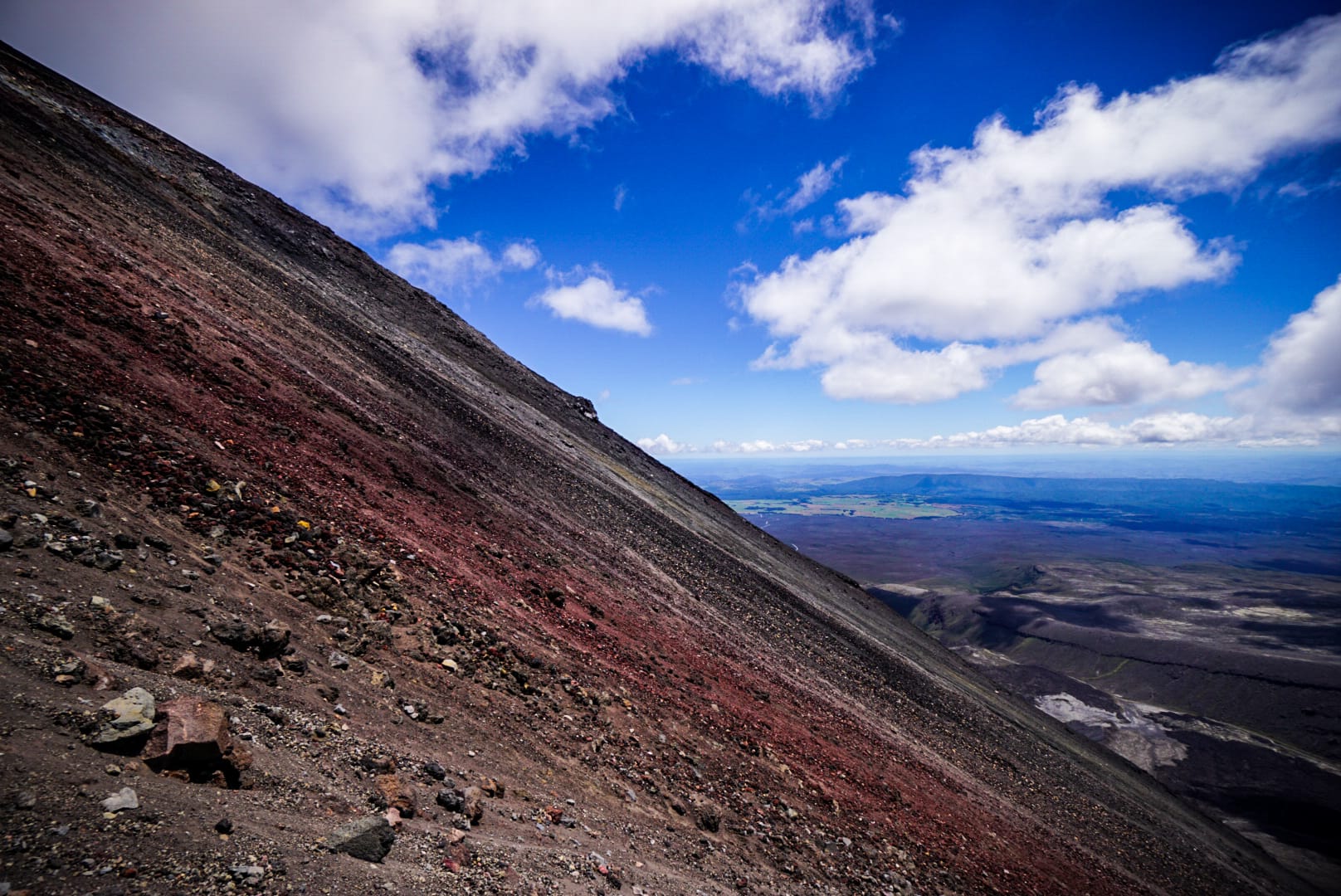
Descending Mt Doom
Finally, it was time to descend. I started going down but found it was very challenging at first due to the steepness and looseness of the scoria rocks. Footing was never ideal and taking a fall would be painful, and the idea of tumbling all the way to the bottom scared the shit out of me. I made my way slowly around to more familiar slopes. Taking things slowly and ensuring foot footing was important on this loose thin surface over hard rock below.
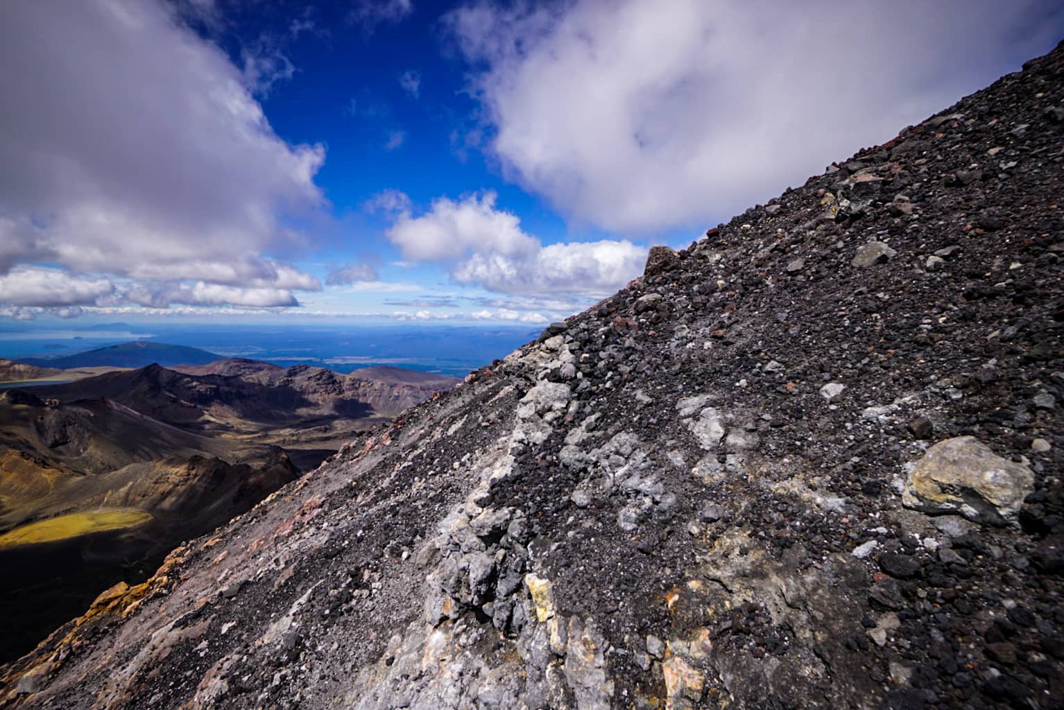
Eventually I found the scree slopes and I could scree-ski at least half of the way down which was easy, despite some sure damage to my shoes.
The summit experience was awesome and the views well worth the effort.
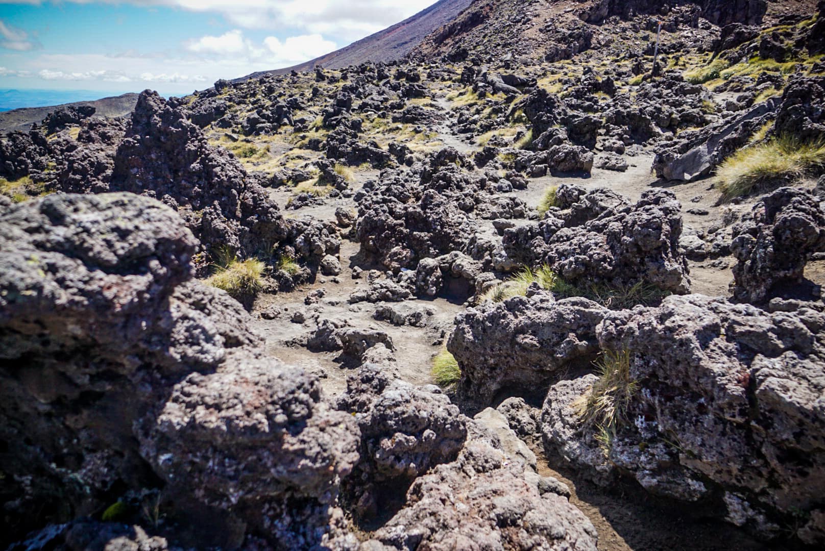
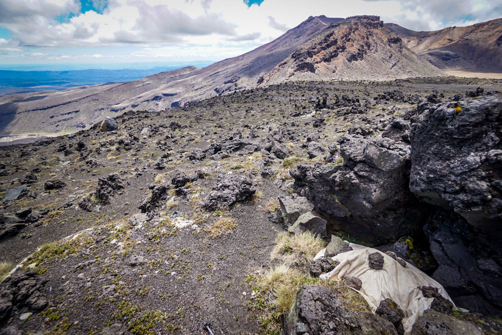
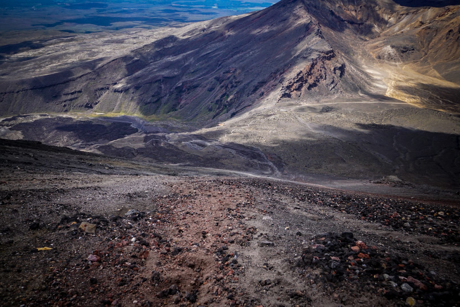
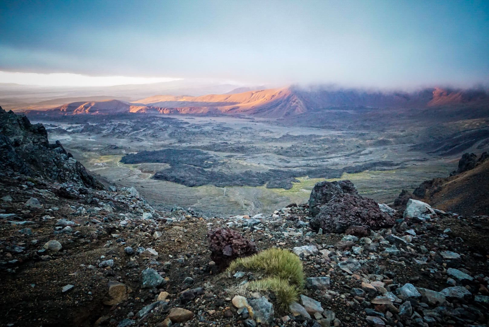
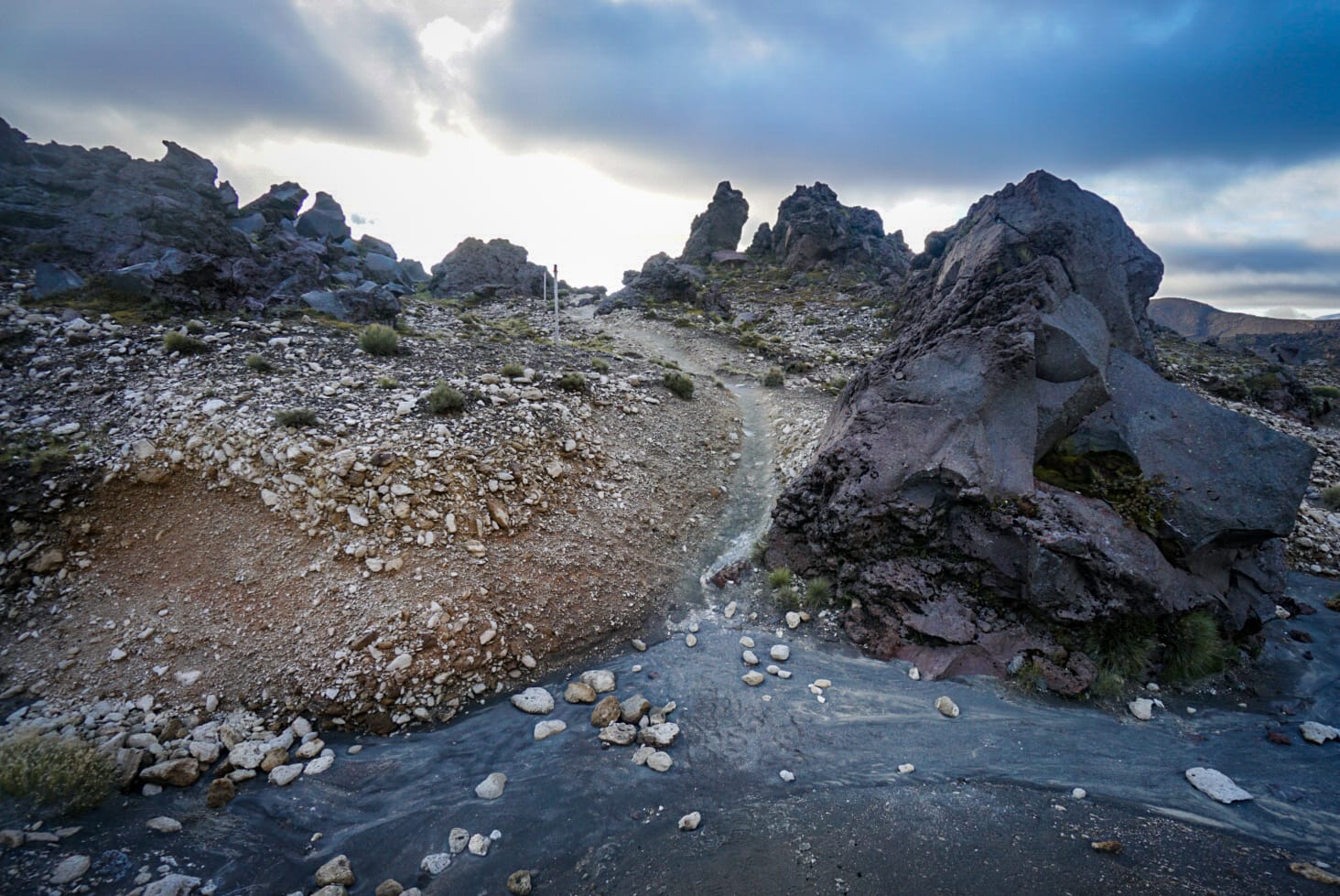
Back on the circuit trail at around 5pm, there was next to no one on trail and it was great. I climbed up towards Red Crater, the only actual really steep part of the circuit, and finally reached the iconic view of Emerald Lakes.
Emerald Lakes
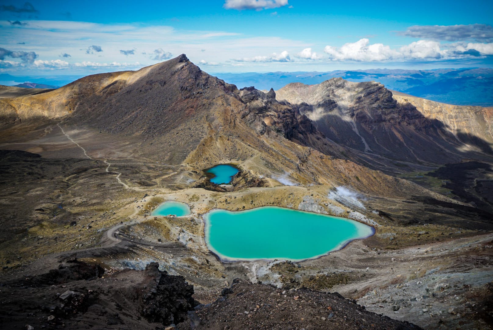
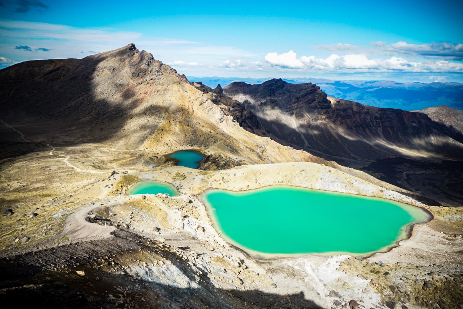
The clouds were rolling over, but the sun peaked through at times. There were more steaming fumeroles in this area too. I wondered if the lakes were warm at all and felt the water – nope, cool!
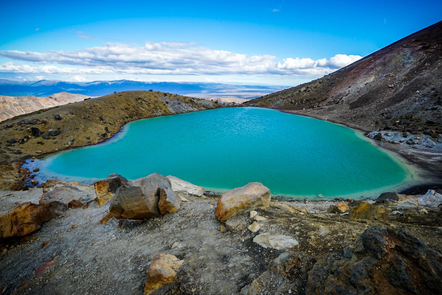
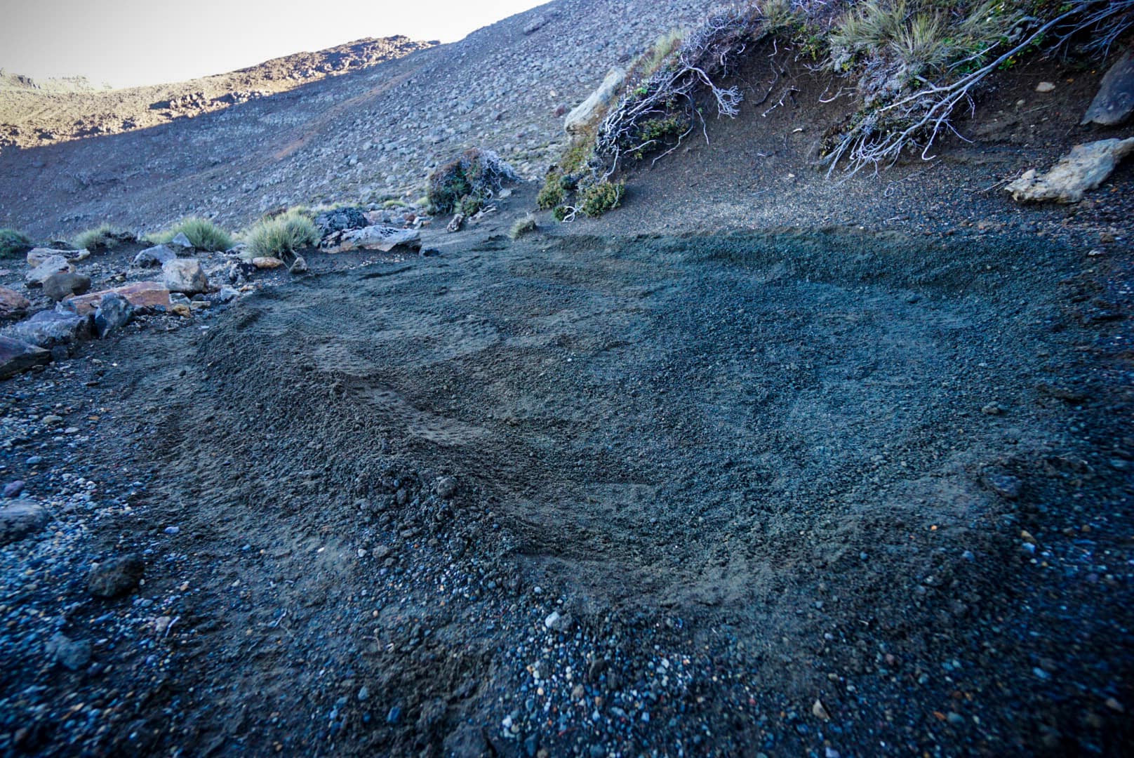
My final stop was Blue Lake where I intended to find a campsite. You aren’t allowed to freedom camp within 500m of a great walk, but Blue Lake was beyond this.
The wind was getting strong though, so I chose to go behind the lake, and over the hill. It wasn’t a flat area, but I managed to terraform a reasonably flat area on a spot.
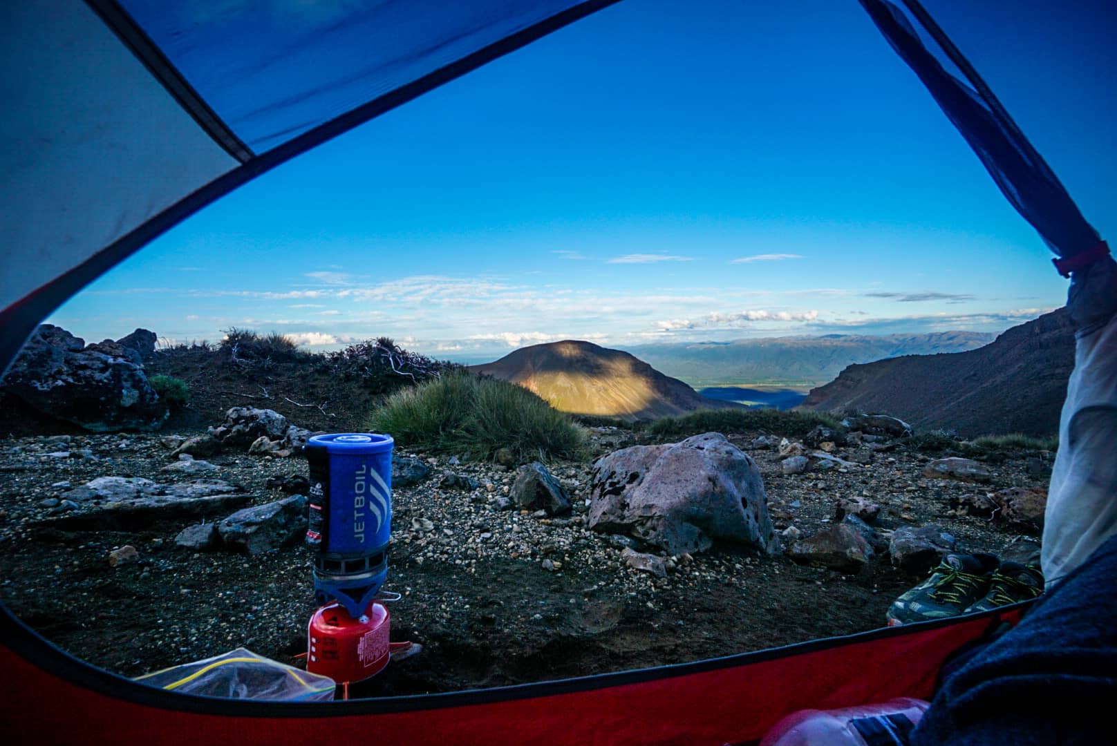
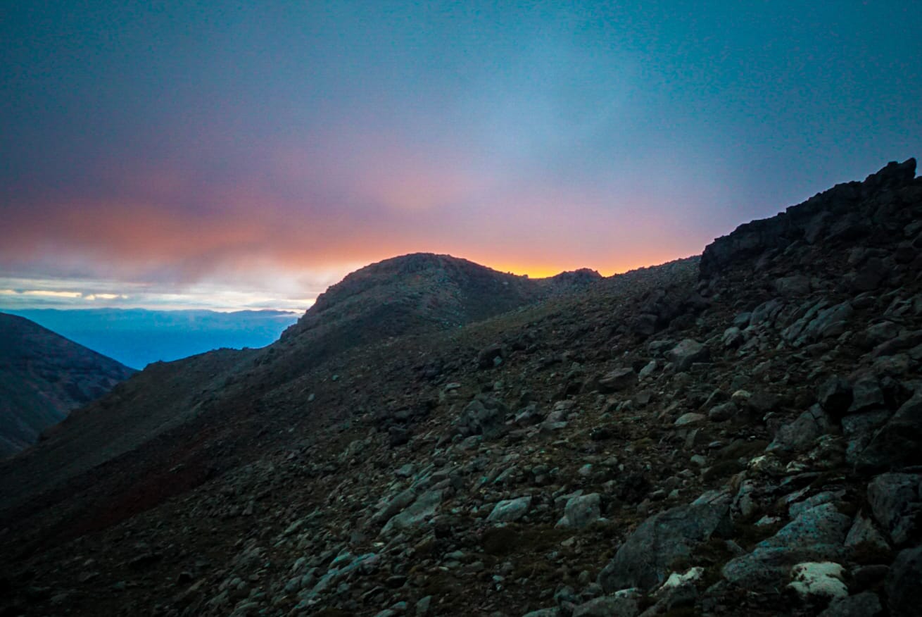
Day 2
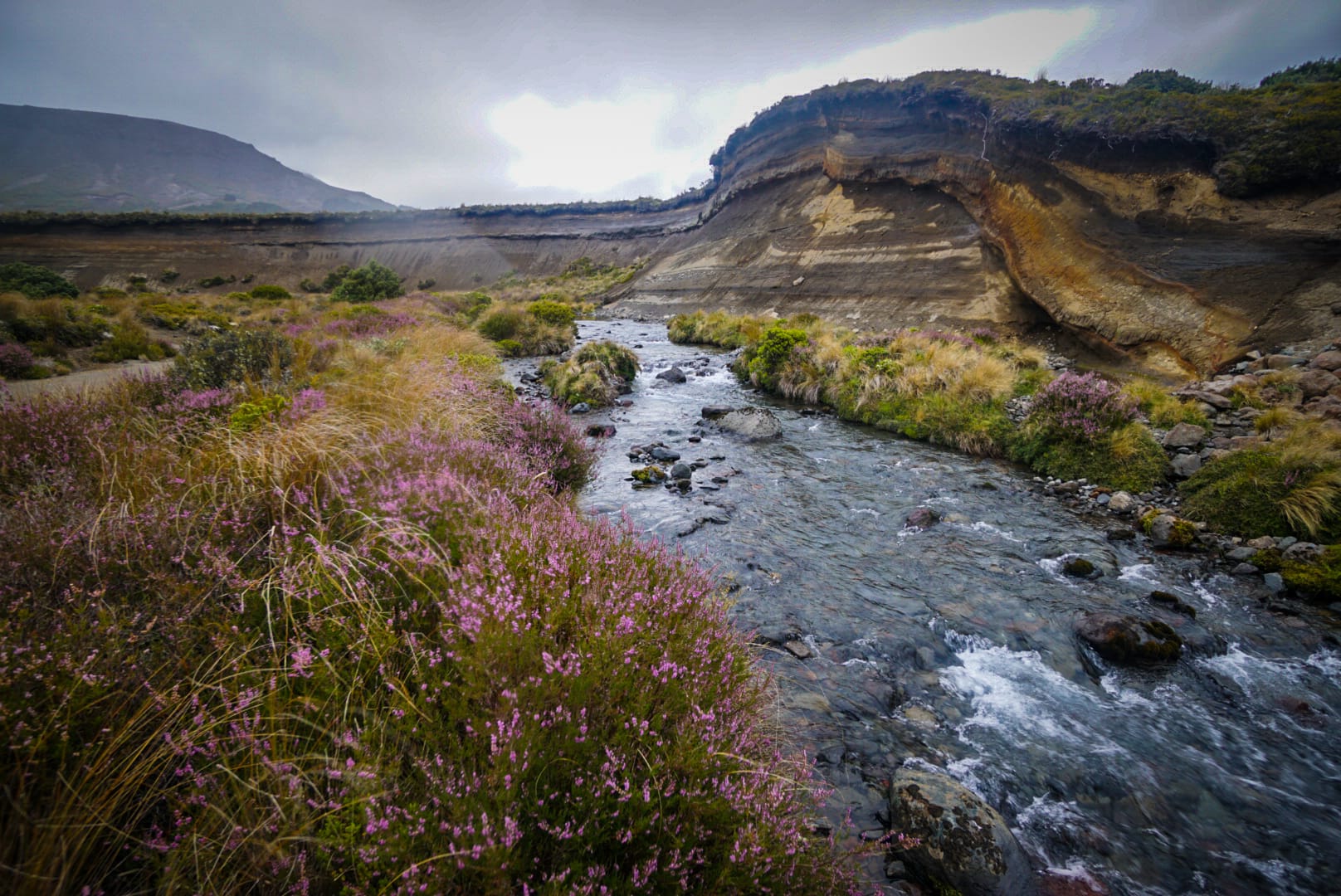
The weather was fine until around 2am. It began to rain and I had to hasty through on my tent fly. Sleep was tough, as the wind also changed direction several times and kept me awake. Once daylight came, I set off early – the rain thankfully had stopped at this point. I needed to cross the next ridge, go down via a creek and rejoin the Tongariro Circuit in the plain below. There were great morning views on this stretch!
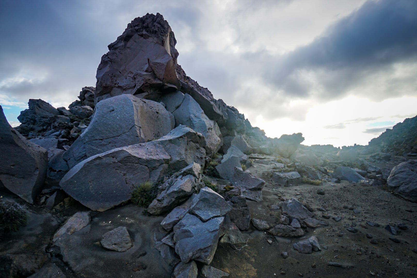
Using Oturere Hut’s tank water, I refilled – glad I didn’t stay there as I was the hoards of people there in what looked like a cramped stay. The rock formations leading to here looked oddly familiar.
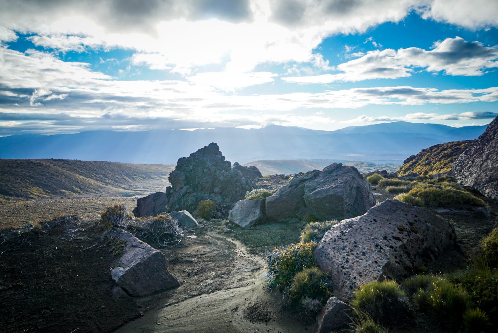
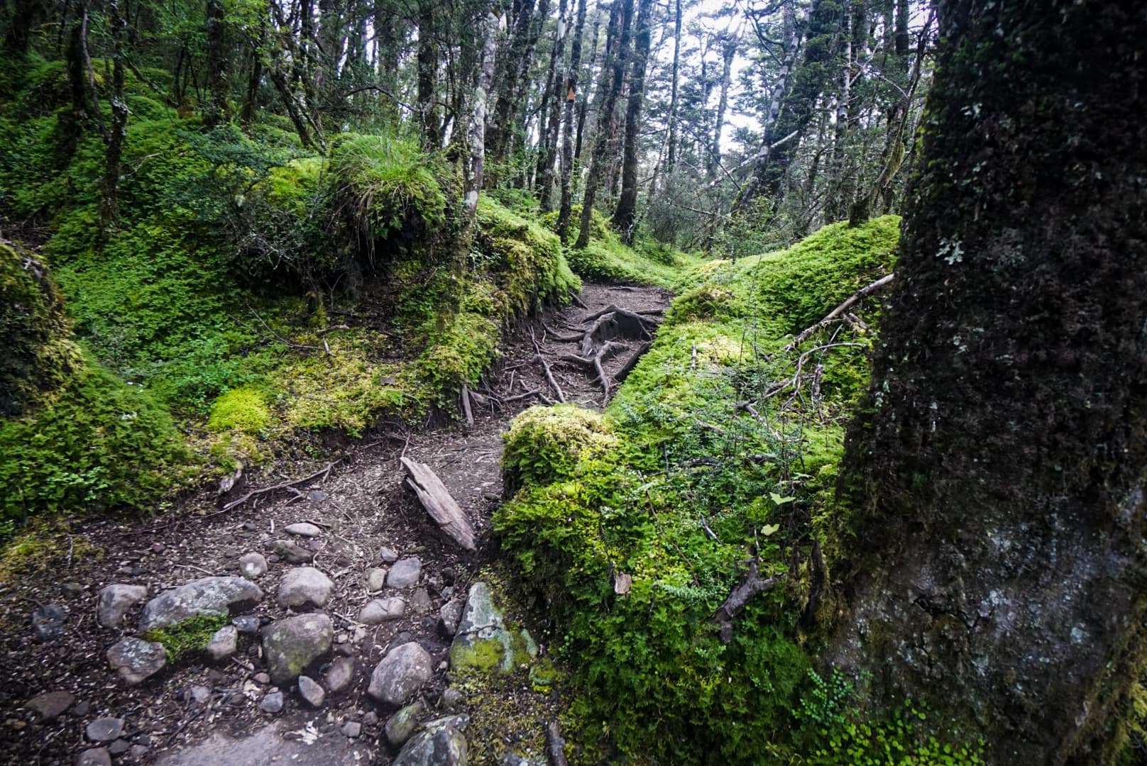
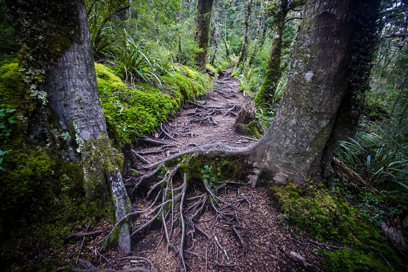
The stretch to the next hut was easy going mostly gravely hills with one section of forest hiking.
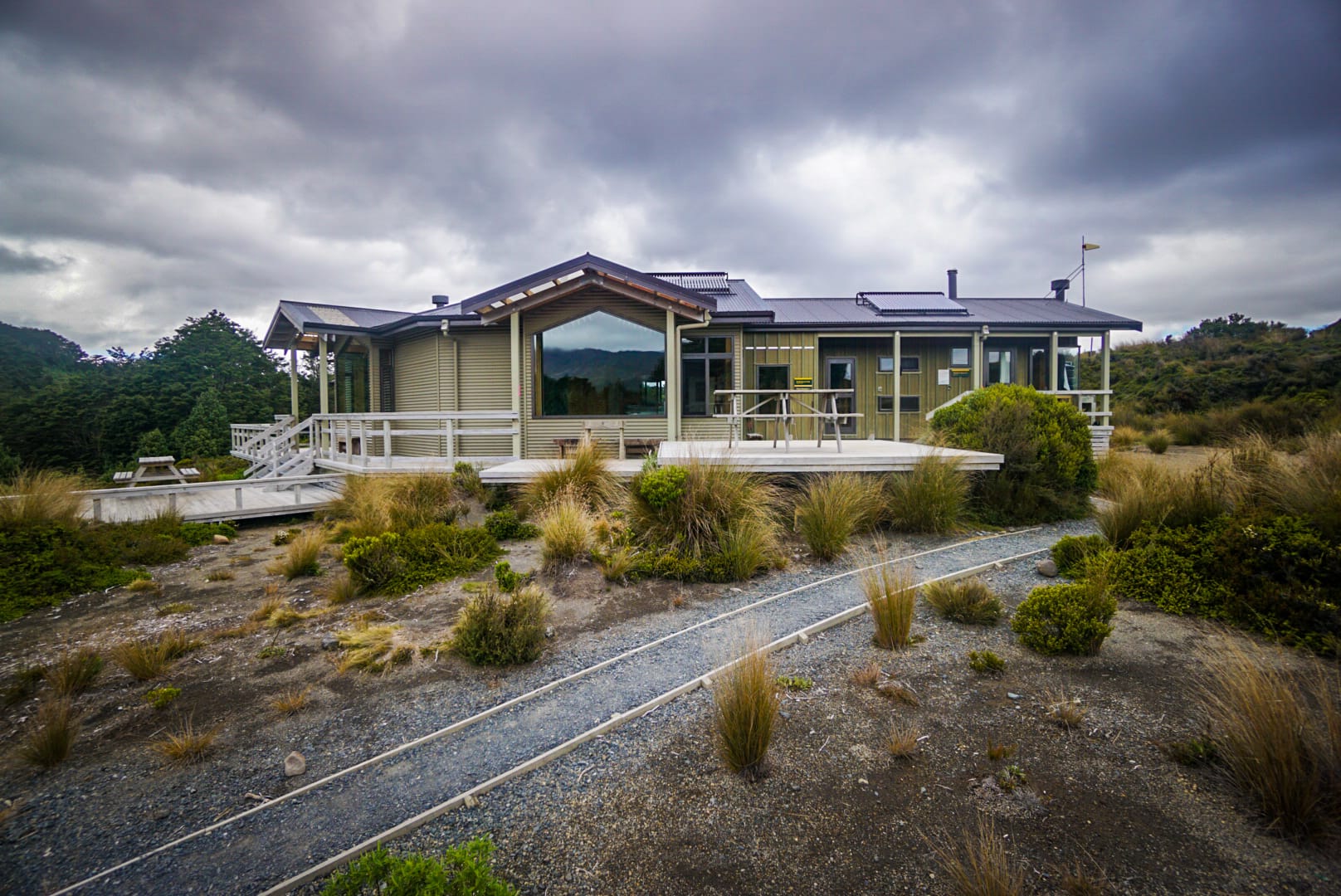
Waihohonu Hut
I passed the final Hut, which looked like a mansion, which is also when the heavy rains started to come down.
I still had about 15km to make it back to the car at this point. My original plan was to camp at Upper Tama Lake, but the weather was too poor to even consider that. It was going to be a big day of hiking it seems as I had already come out 15km to reach this hut.
The rain intensified along the way, and I was soaked. It wasn’t cold though. I started seeing day hikers appear towards the end, who strangely chose to walk in these conditions with limited visibility and eventually made it back to my car.

Booking myself into a lovely hostel in Okahune, I enjoyed a well earned feast!

Your Donation Really Helps!
In order to support the travelling and hiking community, I spend many hours per week or month to adequately document all information and advice for prospective visitors, accompanied by a (hopefully) entertaining insight into my personal experiences. This service is, and will remain, free. However, running a non-profit website and spending time creating content comes with financial and personal costs.