The Overnight Delight of the Darren Mountains
Getting There
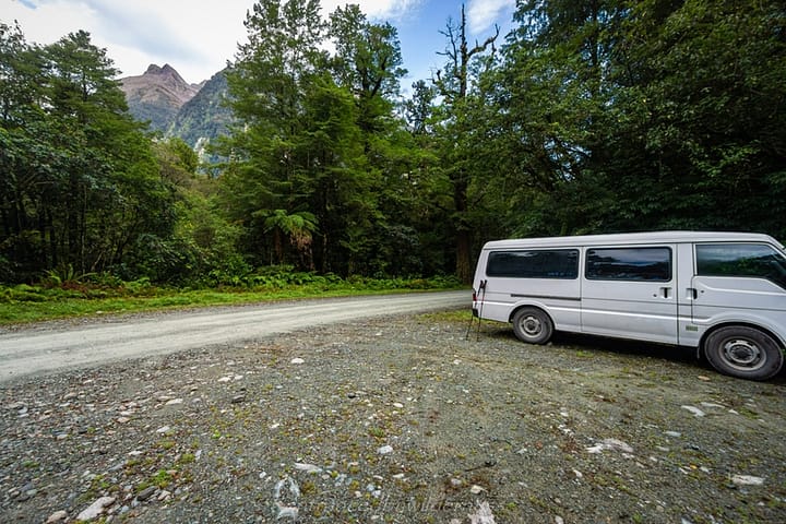
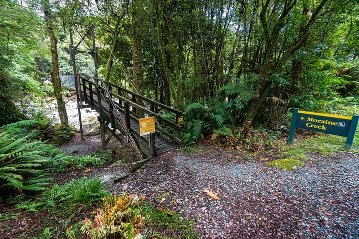
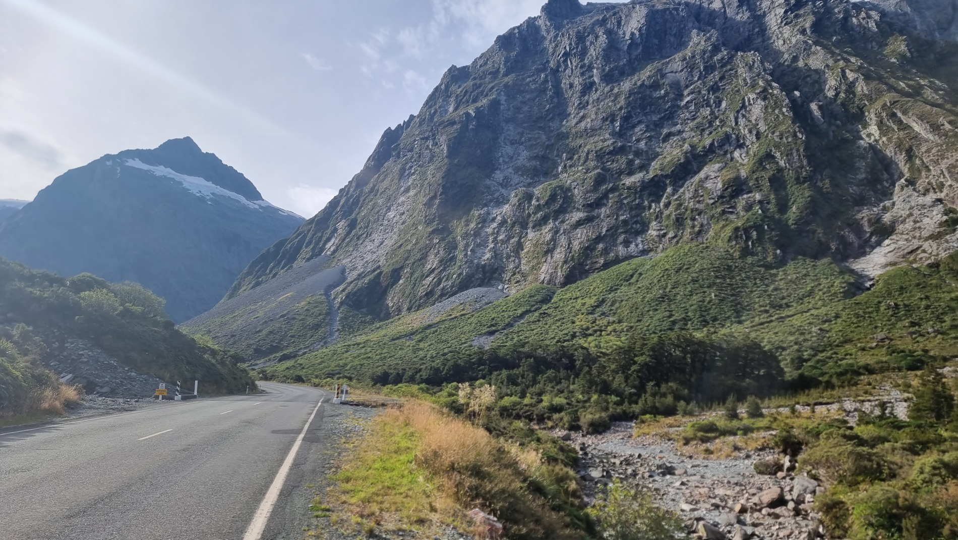
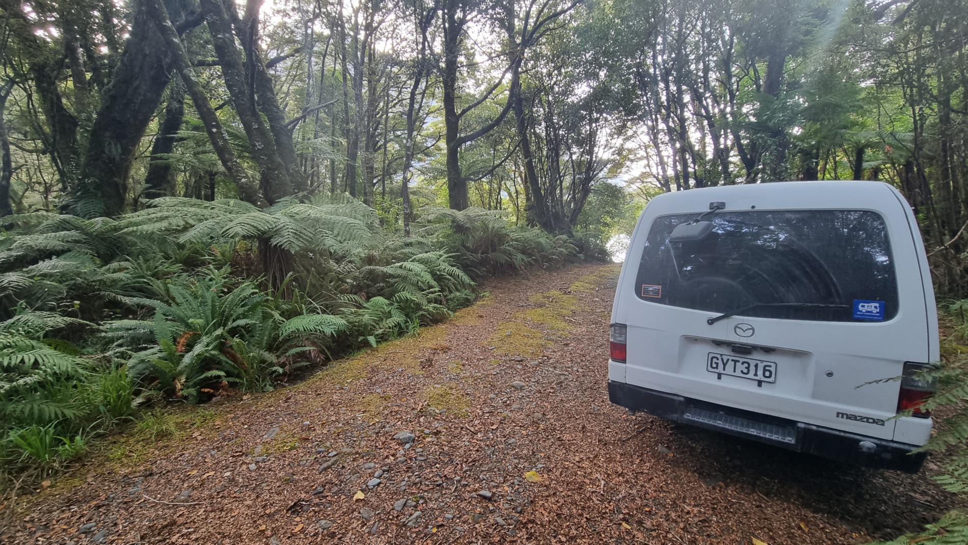
The trip is more logical to do starting from Moraine Creek, as ascending Gifford Crack is far easier than descending. This means parking at the Moraine Creek trailhead by the swing bridge. This involves heading down the Milford Sound Highway, but turning onto the Lower Hollyford Road. The trailhead is 1km from the road end. There is space for up to about 5 vehicles.
Trails Involved
This route involves two marked trails. The first being the Moraine Creek Route, which starts from the Hollyford Side. The track was fairly straightforward until after Tent Flat. The climb from here on is unmarked.
The second trail is the Gertrude Saddle Route, which is a well-marked and travelled route to a fairly popular viewpoint. Beyond the saddle, is again unmarked.
Difficulty
Looking at a Topo map, Gifford Crack’s contours should be enough to say ‘don’t attempt unless you like a near vertical climb’. Not only this, but crossing the moraine section around the 1000m contour is challenging. In dry, summer conditions, and ascending (as opposed to descending) Gifford Crack, climbing gear is optional, however, it would depend on ability levels. It might be safer to just take it.
Camping Options
Phil’s Bivvy and Gill’s Bivvy are the two known rock bivvy sites, both located at the head of the Moraine Creek valley before Lake Adelaide. Camping is also possible on Gertrude Saddle, and at Tent Flat, about halfway along Moraine Creek. There are no huts on this route aside from Homer Hut on the Milford Road.
Trail Overview
Please note, the below trail suggestions are intended for describing conditions outside winter season
Terrain Type:
- Flat
- Mostly flat with some hills / moderate climbs
- Hilly with moderate climbs
- Hilly with steep climbs
- Consistent steep climbs
Trail Condition:
- Path, marked
- Graded trail, marked
- Rough trail, marked
- Poor or neglected trail / partially marked route
- Unmarked / no trail (backcountry)
Experience Level Required:
- No hiking experience needed
- Some hiking skills recommended
- Hiking experience required (some potentially dangerous terrain)
- Good hiking experience required, with navigational needs and potentially additional safety equipment
- Mild-mountaineering. Strong hiking experience / additional safety equipment required for dangerous terrain
- Technical Climbing. Only experienced professionals should attempt
Map of the Route
Note: Much of the route marked here is the road ride – no way to differentiate on the map, sadly.
Pre-Hike
I ended up driving the roughly 5 hours down to Homer Hut, arriving mid-afternoon sometime. Here, I dropped off my bike in Homer Hut (protected from Kea!), where I donated a few gold coins to the hut warden to mind it. This was to be the end of the hiking section, where i’d ride back to the van.
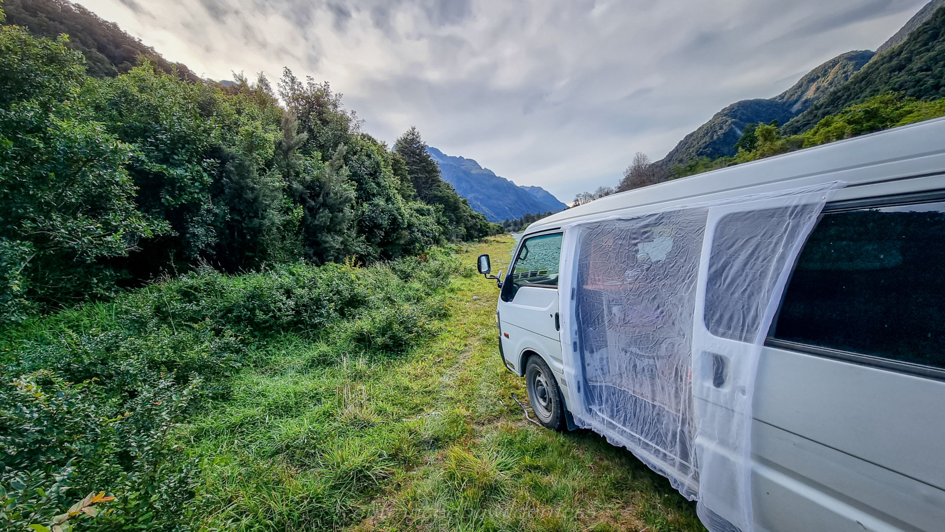
I then left for the Hollyford Road to find some place to stay for the night. There wasn’t really any place to park up for the night aside from the airstrip section in the Hollyford Valley. I chose a spot not in the way of the actual airstrip and got to relax for the evening with a good feed, tunes and a sandfly net!
20/03/2022 – 21/03/2022
Day 1 – Moraine Creek to Phil’s Bivvy
Moraine Creek
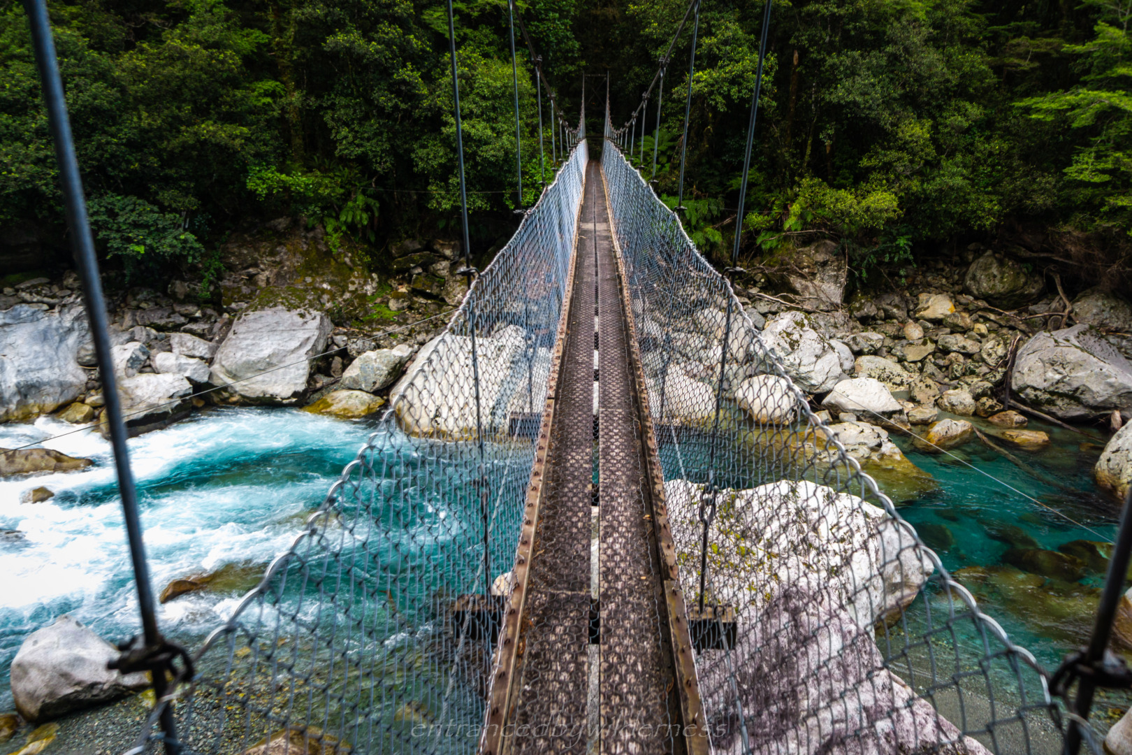
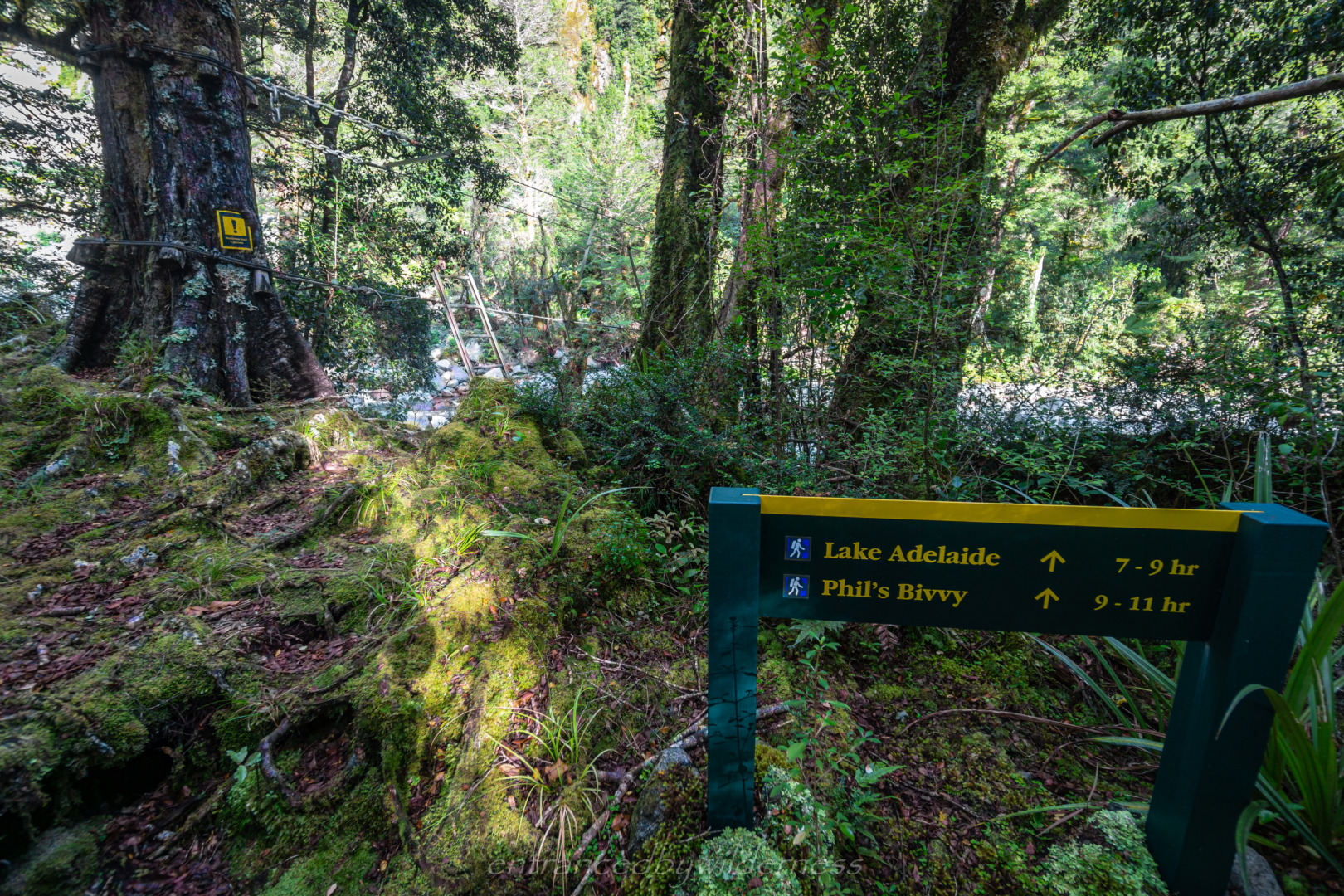
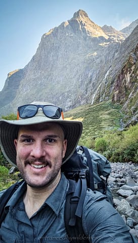
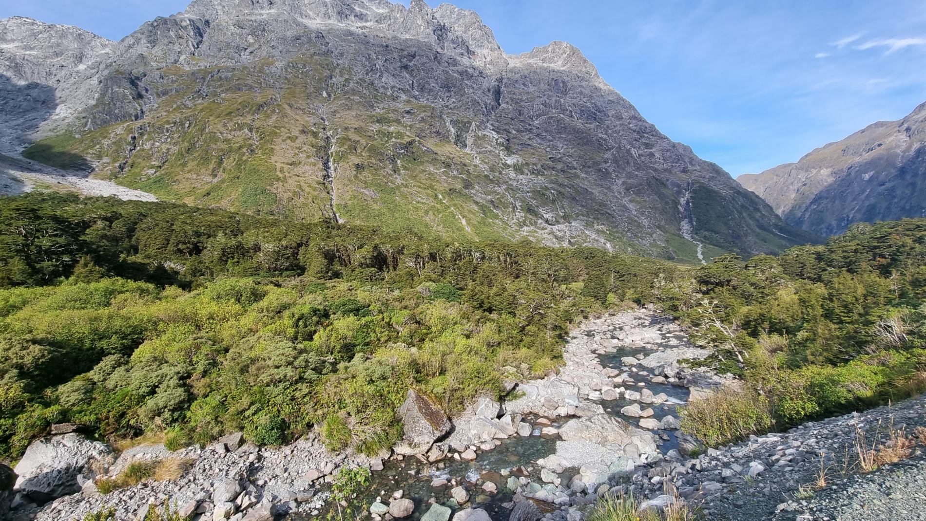
In the morning, I drove to the trailhead not far down the road, and did my final packing. The trail begins as a swingbridge, directly opposite to the parking area. At 9:30am, I set off along the swingbridge over the Hollyford River.
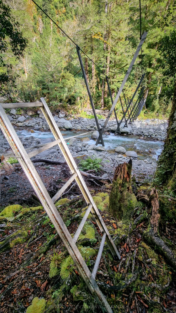
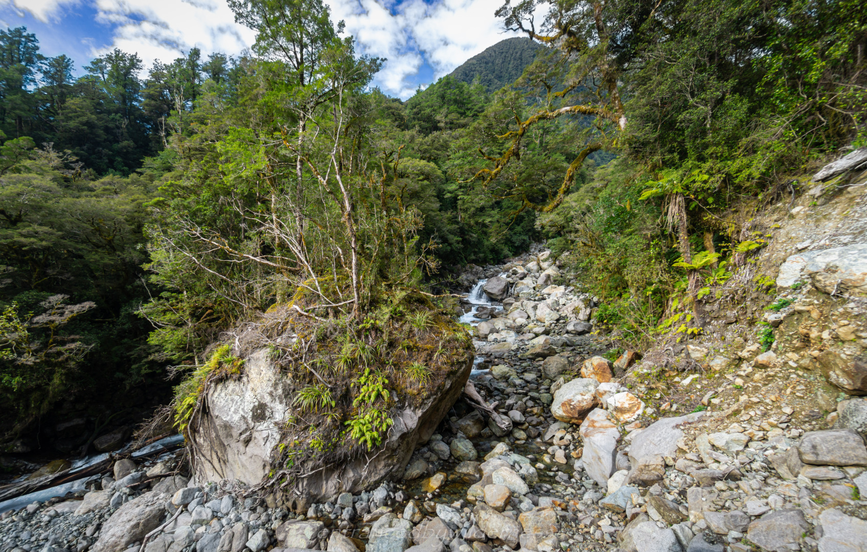
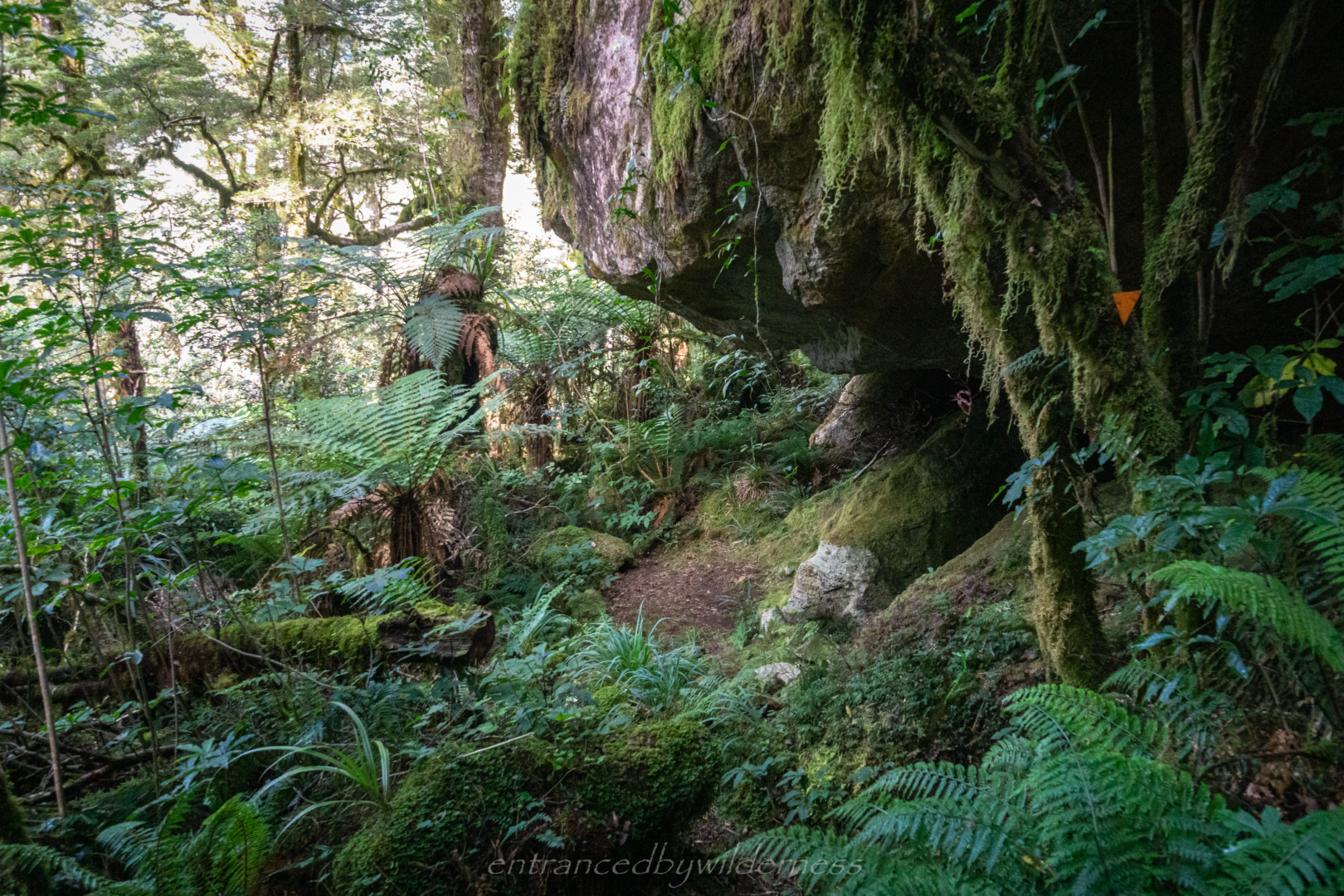
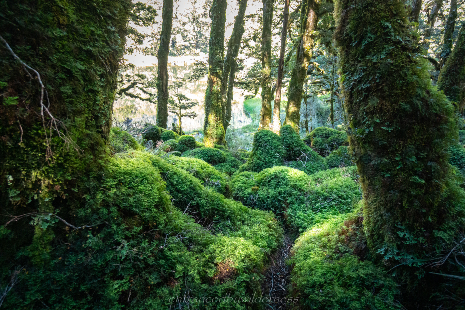
A nice easy start to the trail, with beautiful Beech forest, snow berries for snacks, and a walkwire bridge… to keep those feet dry for a brief period of time longer haha!
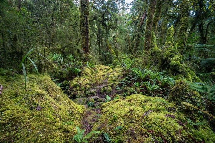
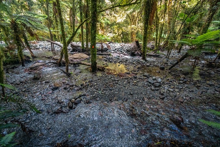
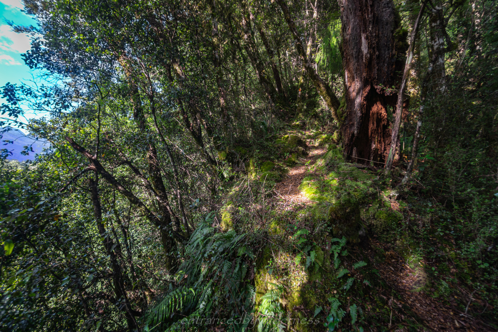
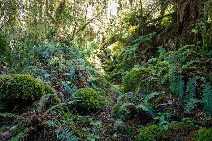
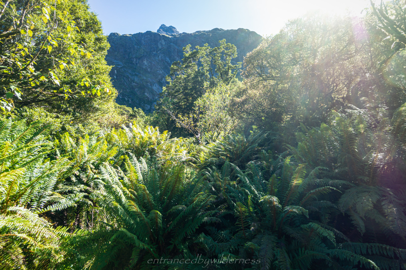
As the track gained elevation, it became denser and trickier. Some parts were overgrown, and the odd cairn helped out here. The forest was stunning though – so lush!
Tent Flat
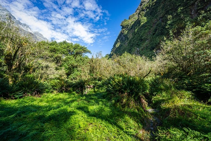
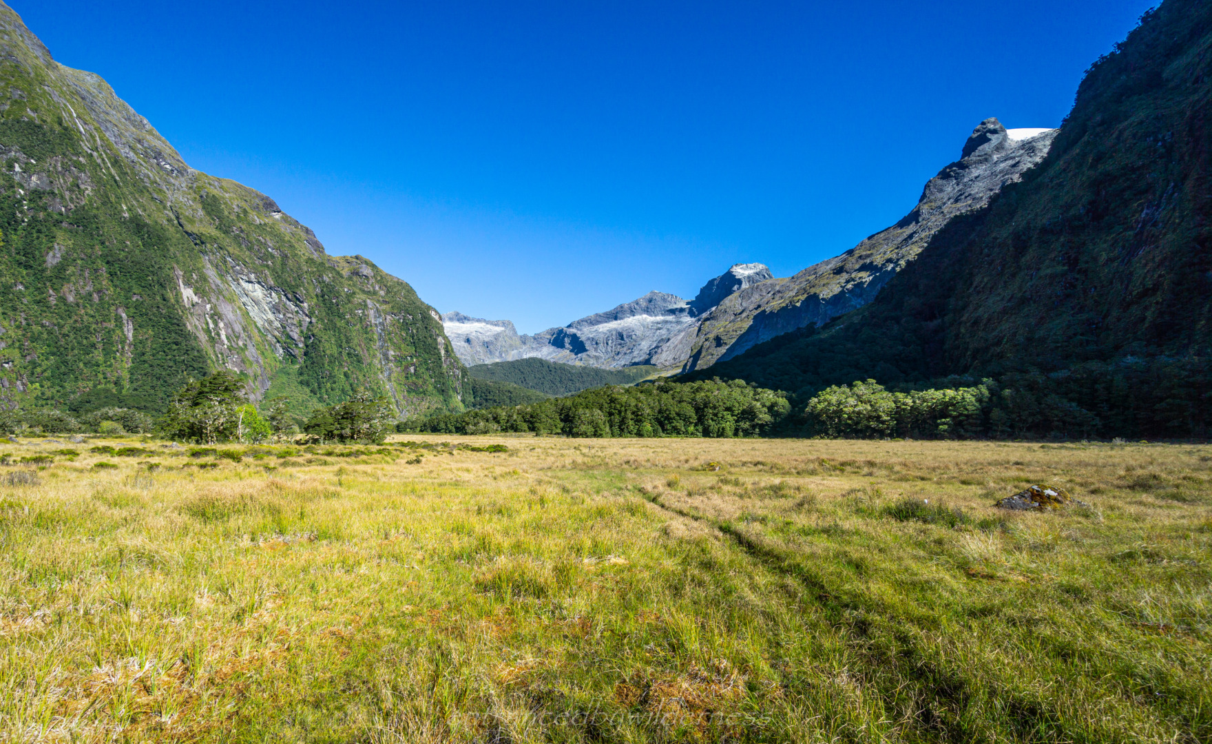
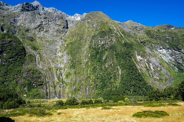
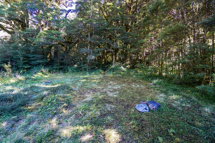
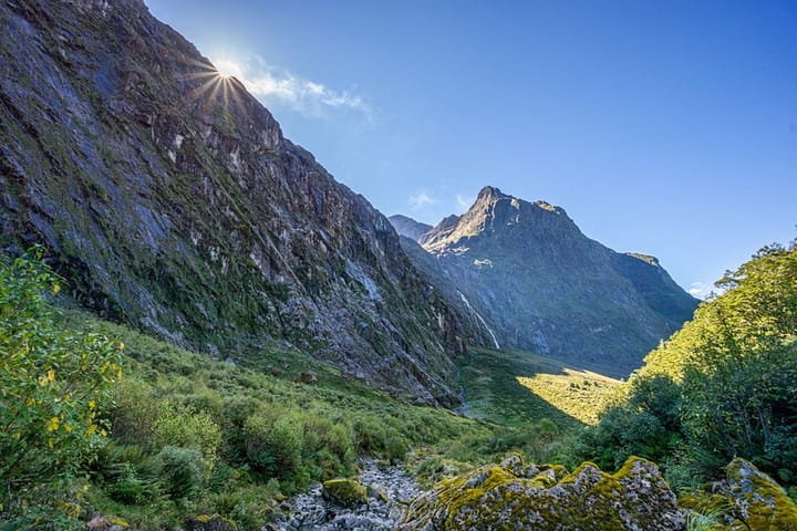
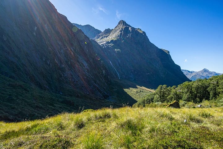
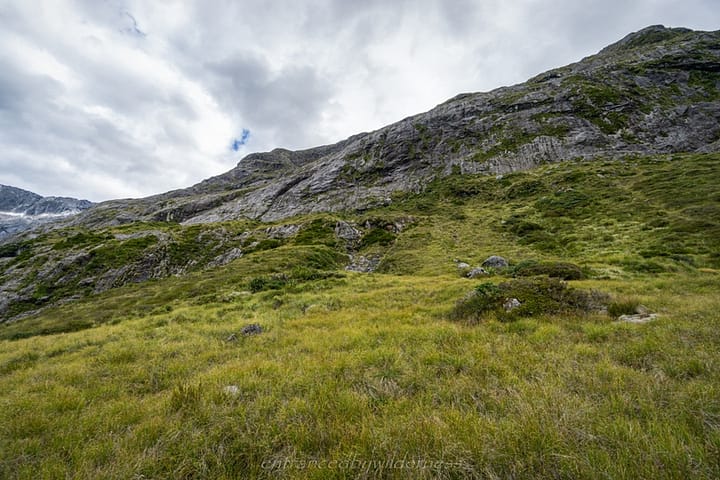
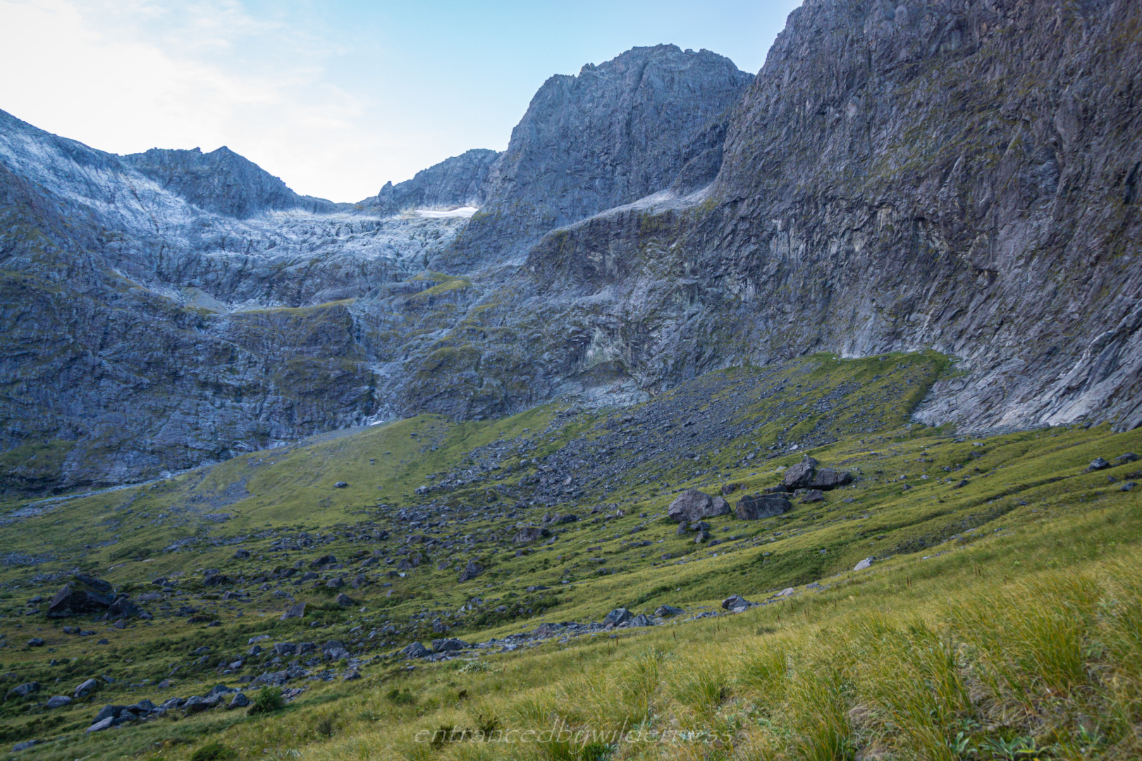
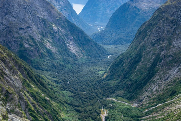
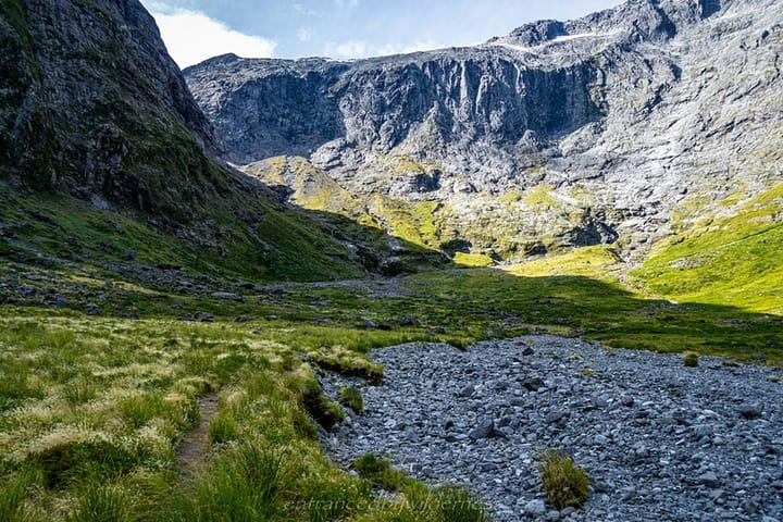
Tent Flat was largely a wet marsh, but the very end had a great little tent site. Perhaps the other side of the creek would be nice too. The 1500m high walls leading up to Mount Gifford were stunning here!
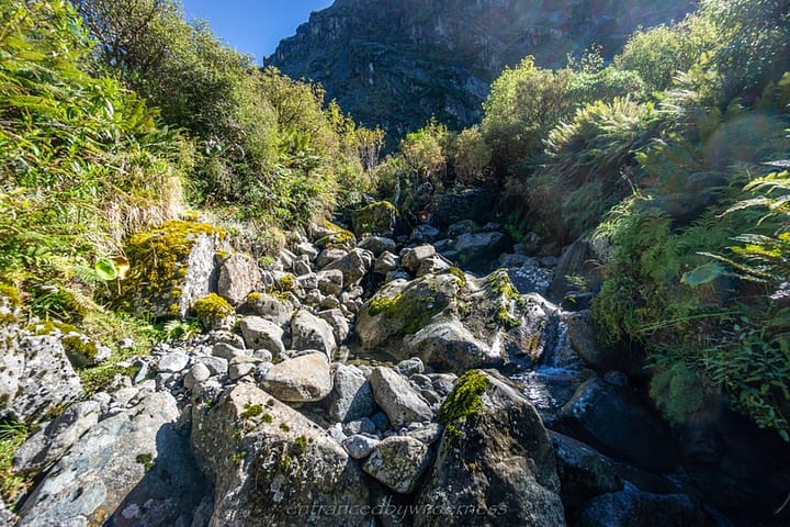
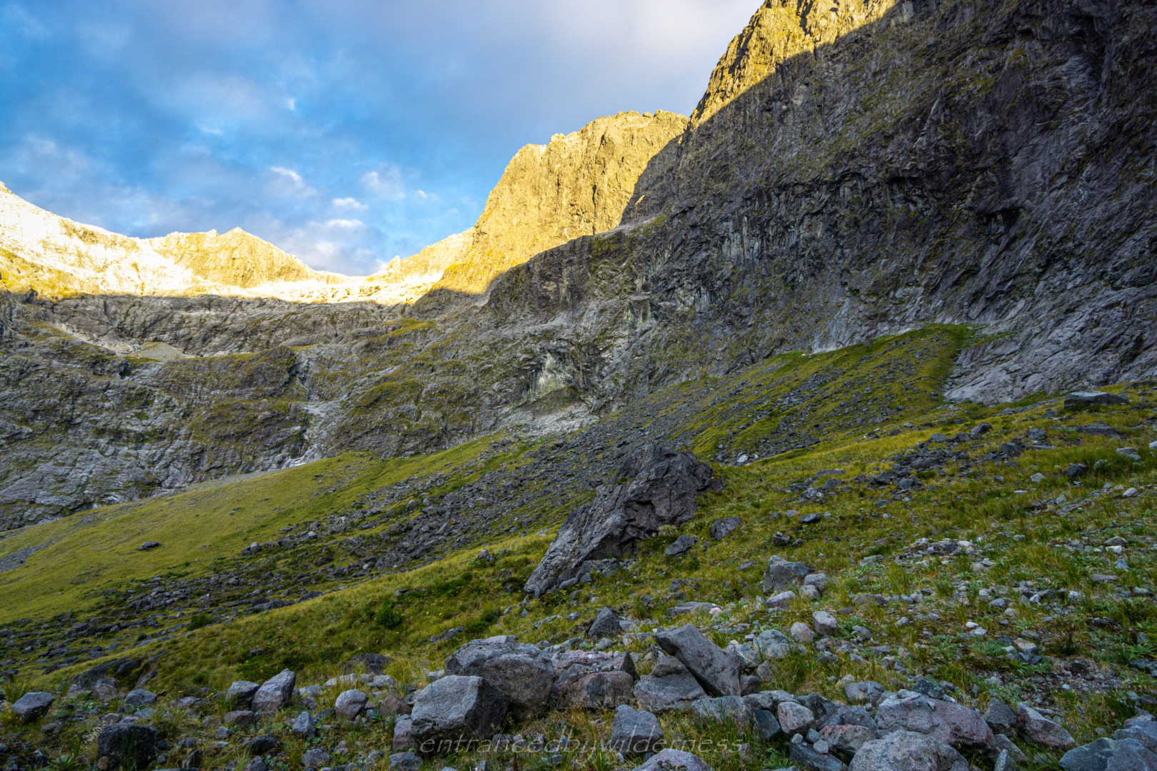
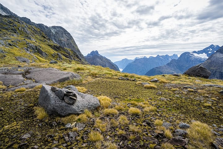
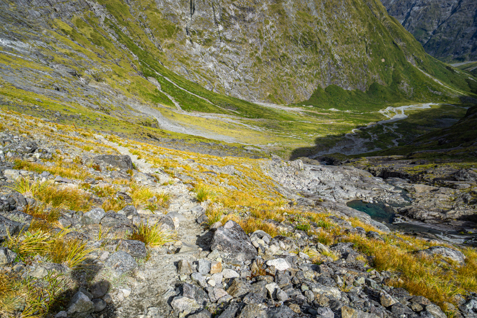
After Tent Flat, the trail is unmarked. There is a roughly cairned route here, but be prepared to lose it every now and again. Particularly when following the streams up – I think I just abandoned looking for them at one point. Just aim to follow the least path of resistance toward the base of Apirana Peak!
Lake Adelaide
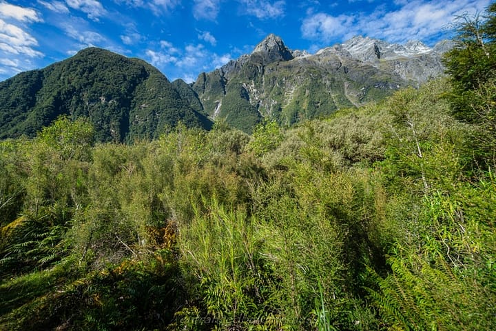
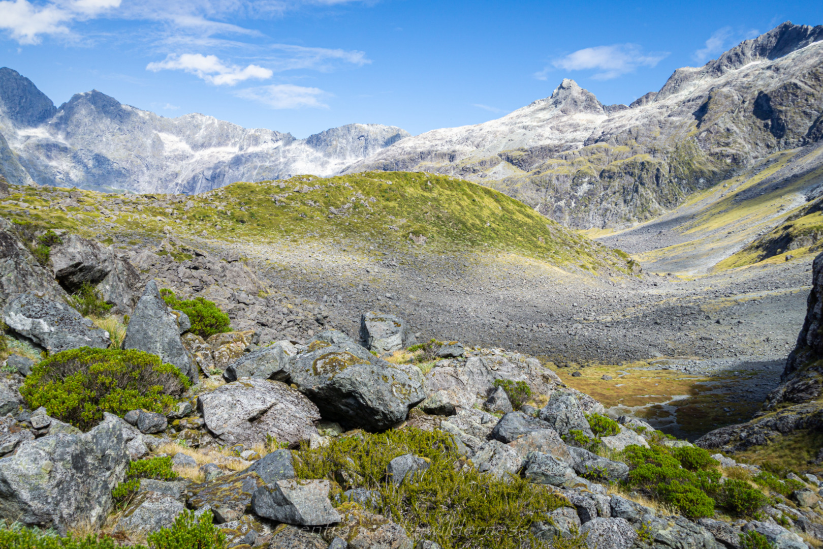
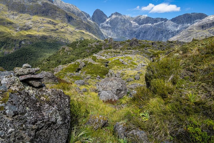
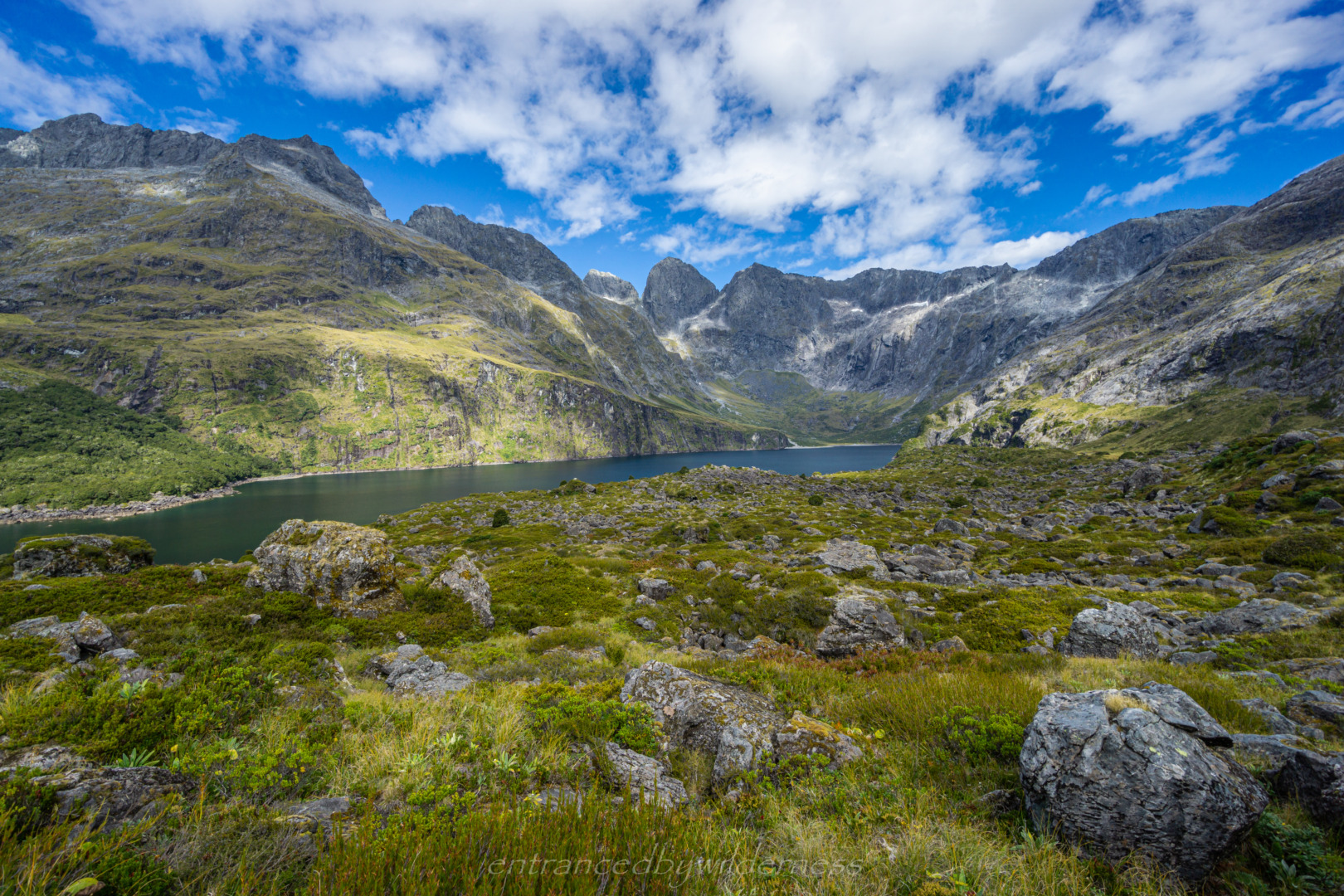
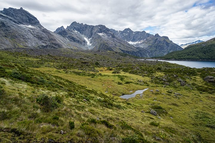
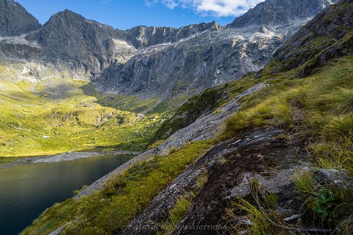
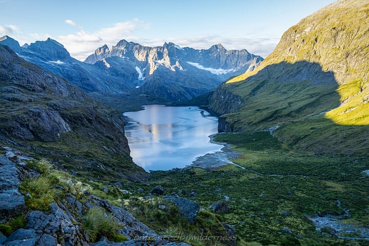
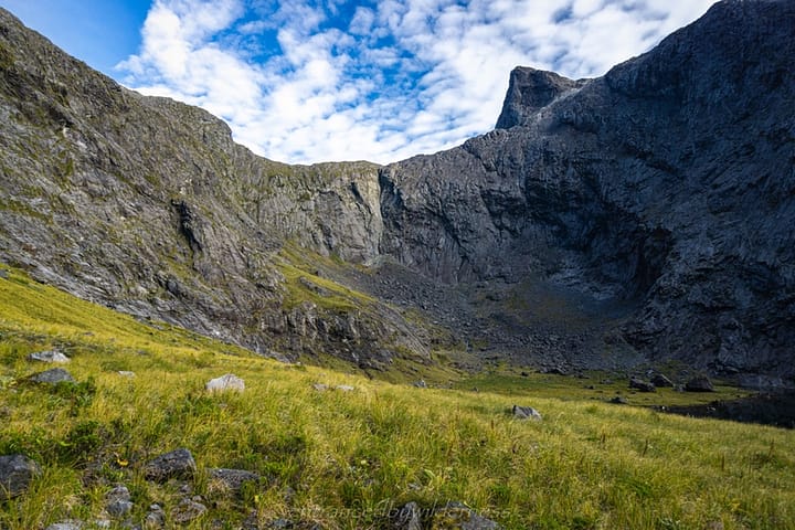
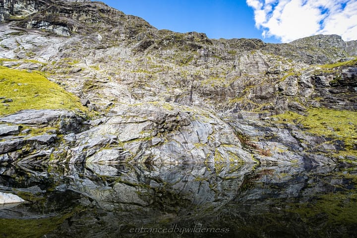
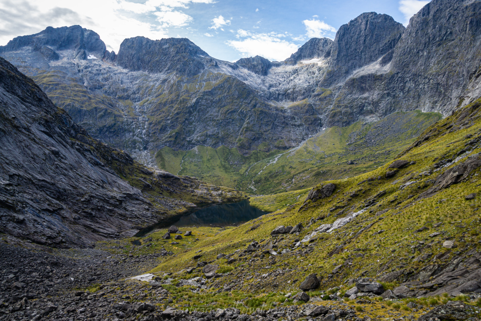
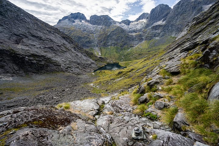
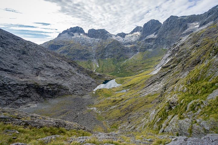
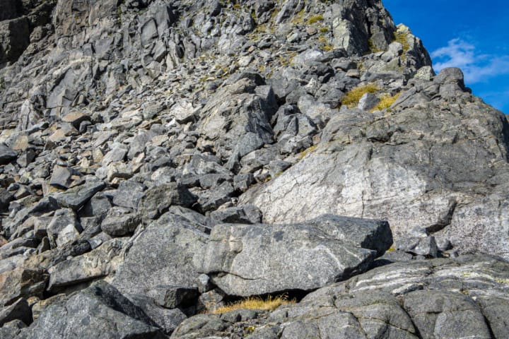
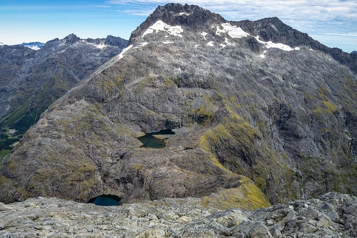
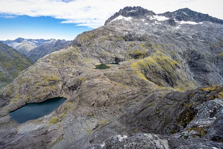
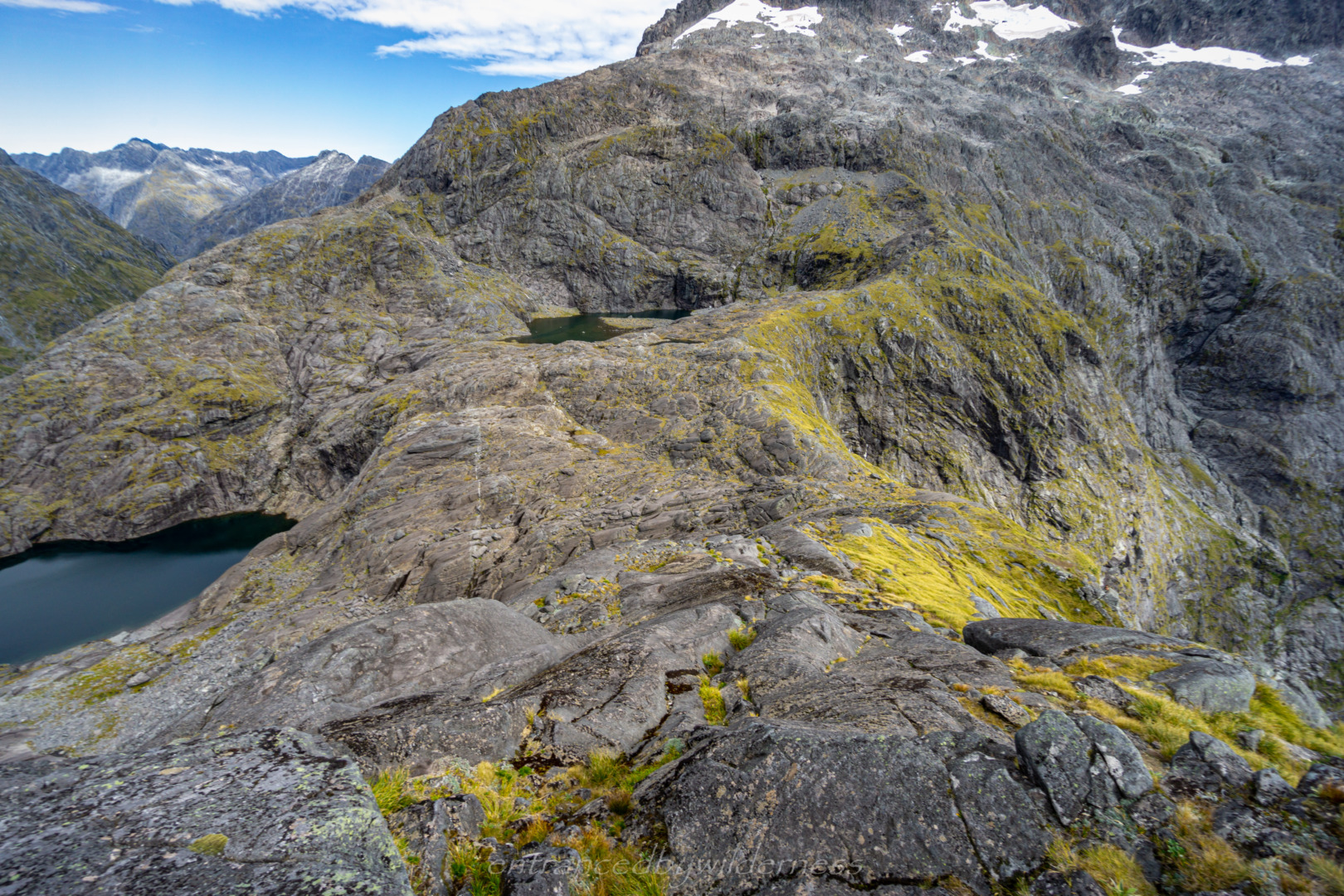
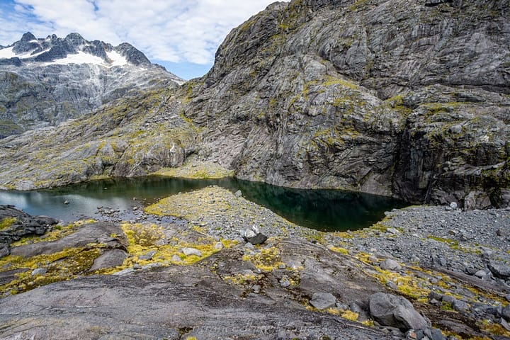
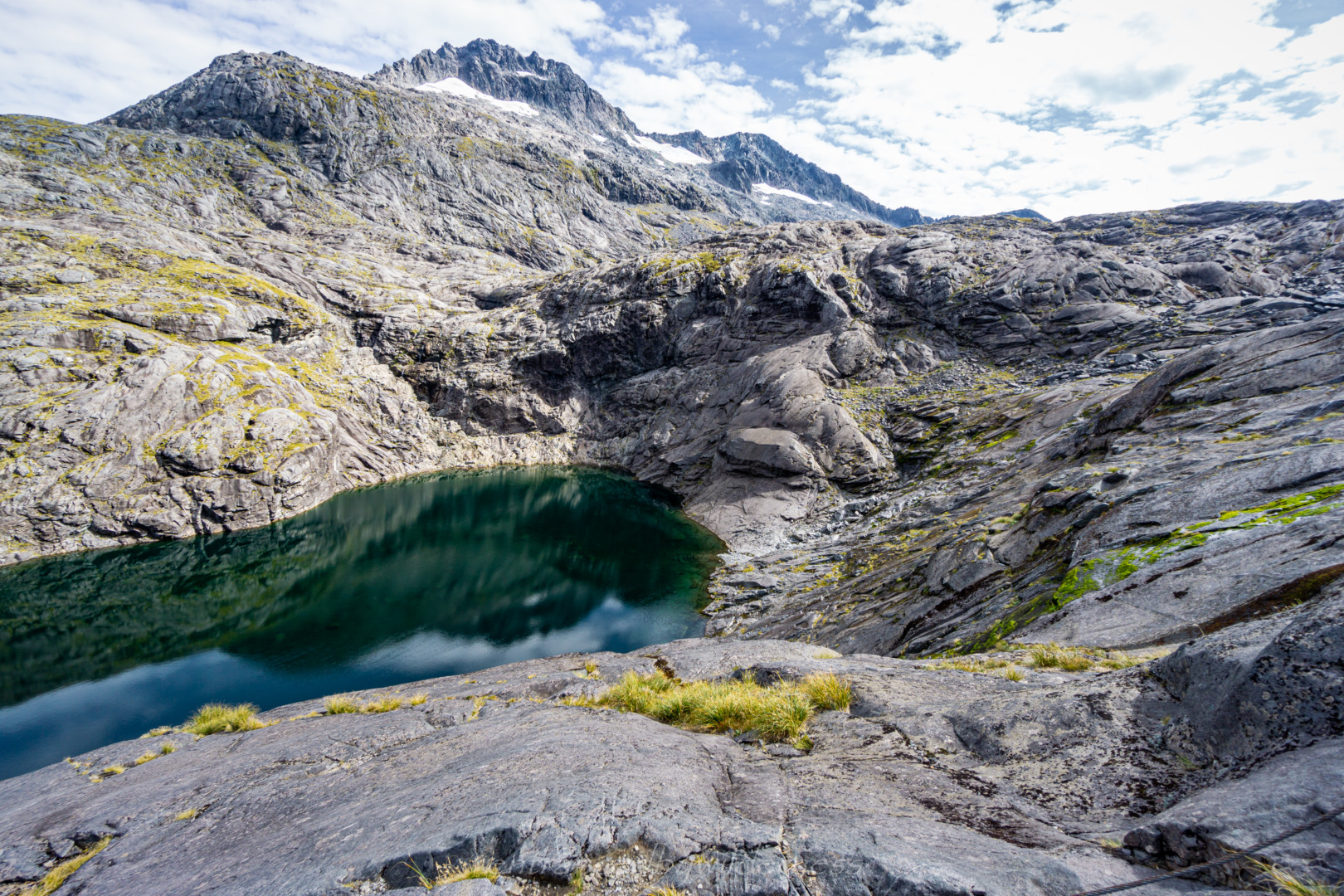
Once at the top, Lake Adelaide is in sight. On the map, this section looks easy – it’s not! I definitely chose a hard way to navigate through the moraine boulders – straight over the top. There are often large gaps between the rocks, and lots of vegetation cover, making it hard to predict where the gaps are.
I would recommend, instead, taking the outside edge. Initially, dropping into the bowl feature, and staying clear of all the moraine and vegetation.
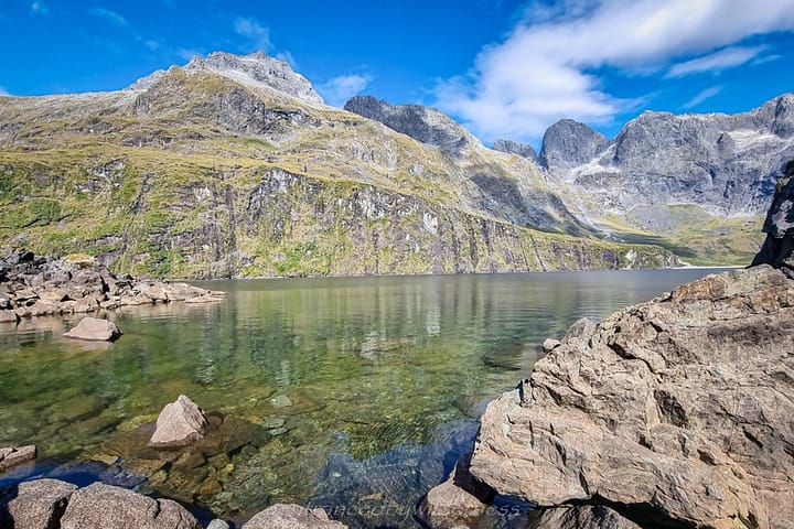
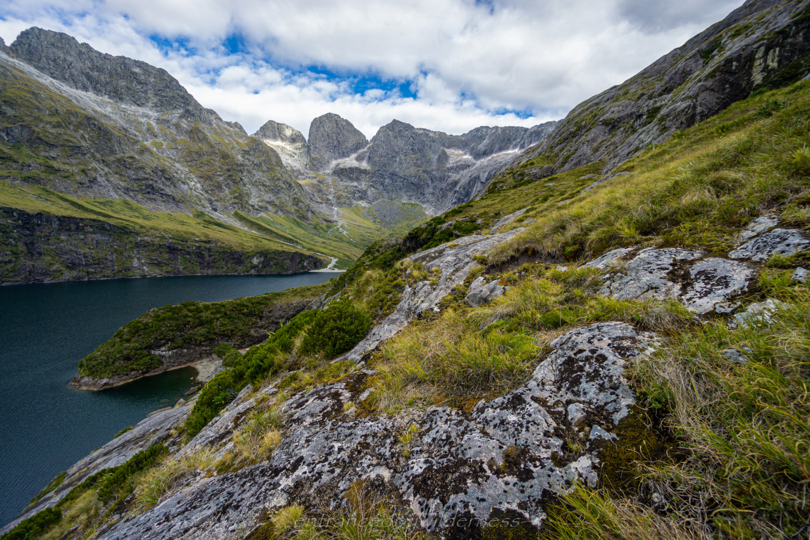
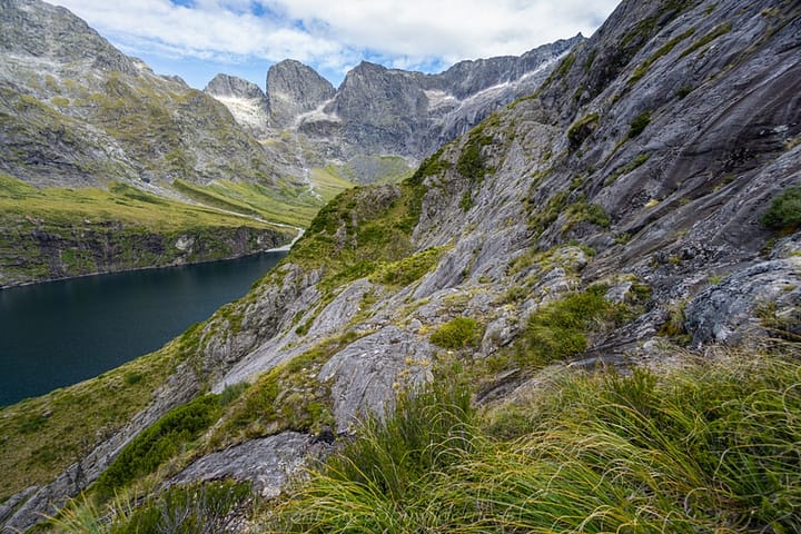
The part I thought that would be hard was the sidle around Lake Adelaide, but it was pretty well cairned and straightforward. There was only one section I went a little too high, and had to drop a few metres below.
The day was growing late, and I was anticipating arriving at Gill’s Bivvy for the evening, however, I could see a group of girls staying there, and knowing the nature of space in a bivvy, I made the decision to aim for Phil’s Bivvy.
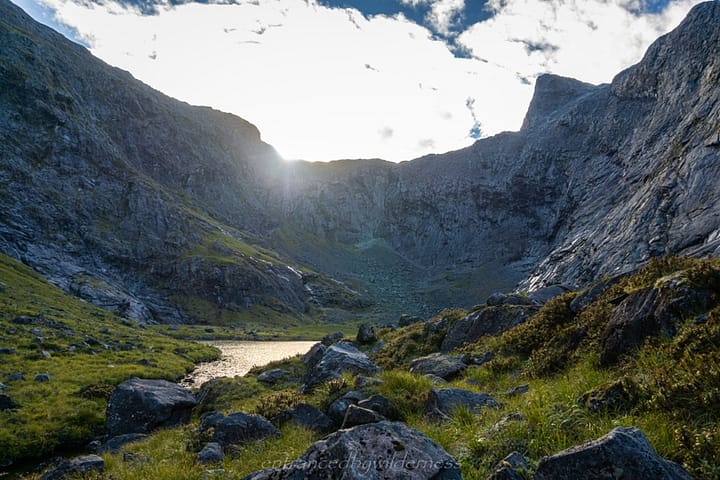
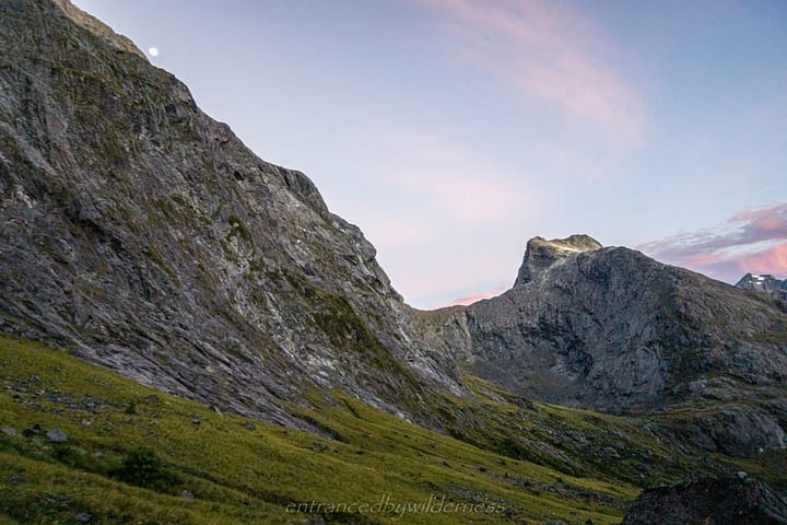
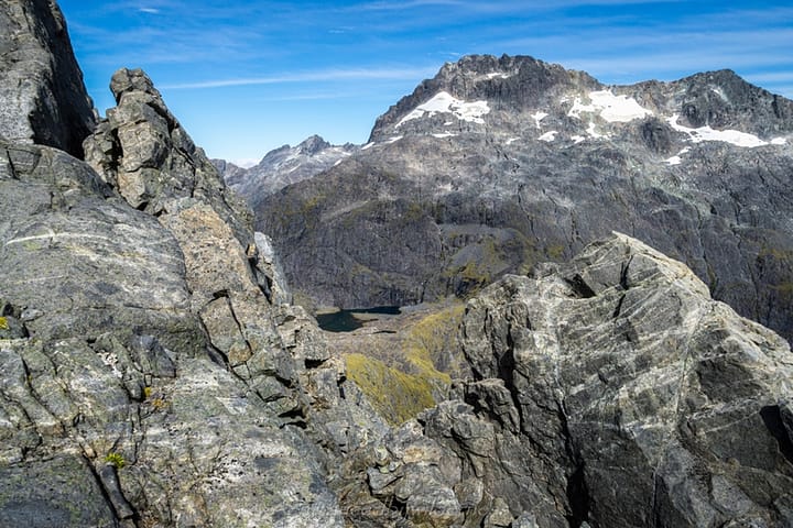
The last section of the sidle past Lake Adelaide was easy. I had my first glimpse of Gifford Crack and Adelaide Saddle here, as the sun disappeared over the range. Getting around the section above Gill’s Bivvy wasn’t super easy sometimes, with a lot of vegetation impeding the logical areas to cross.
Phil’s Bivvy
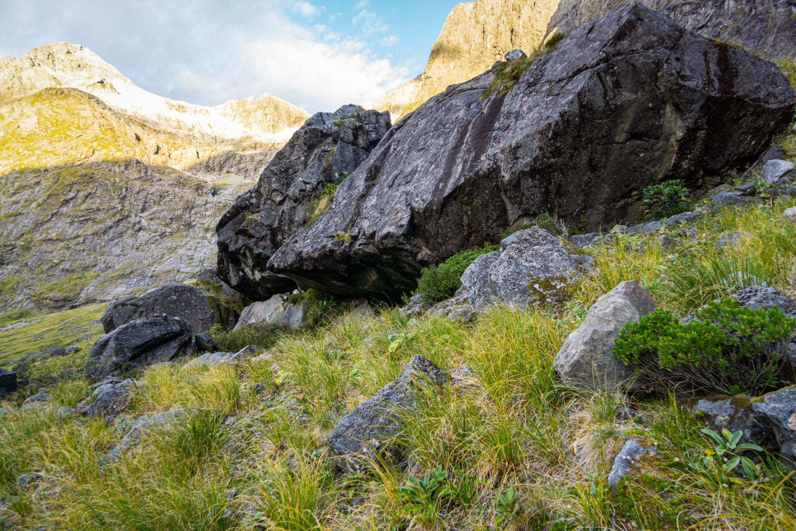
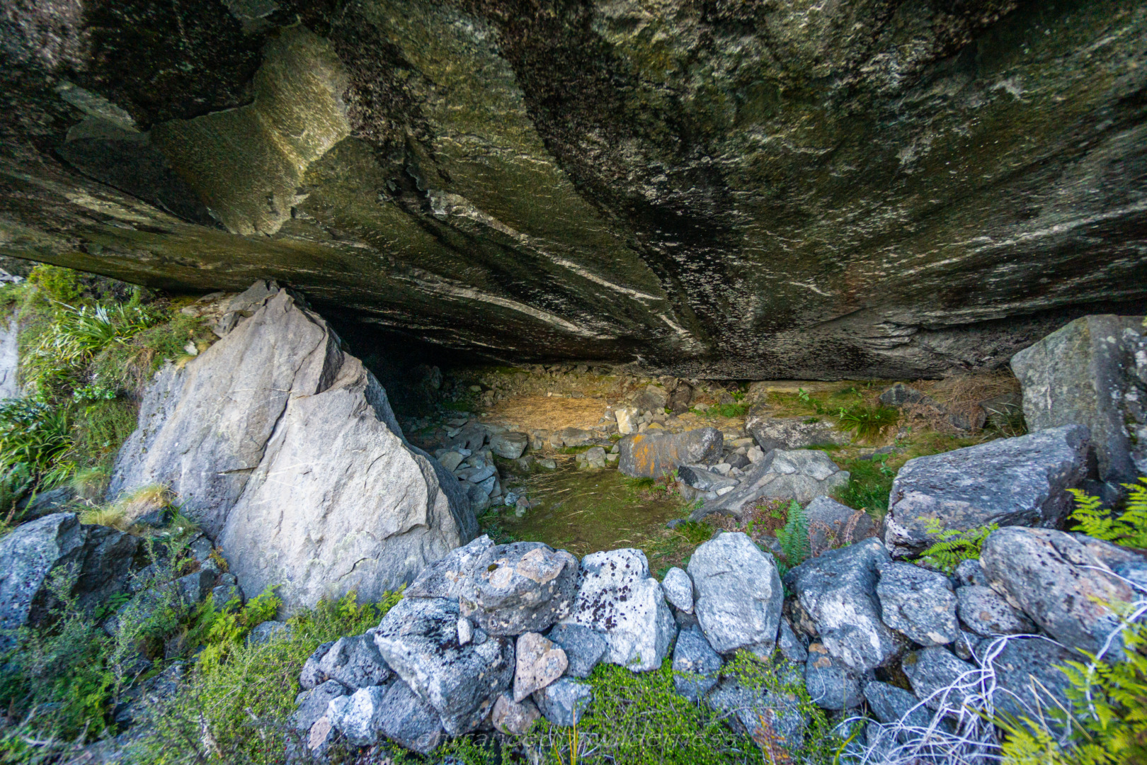
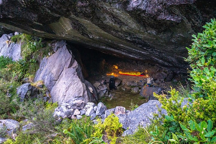
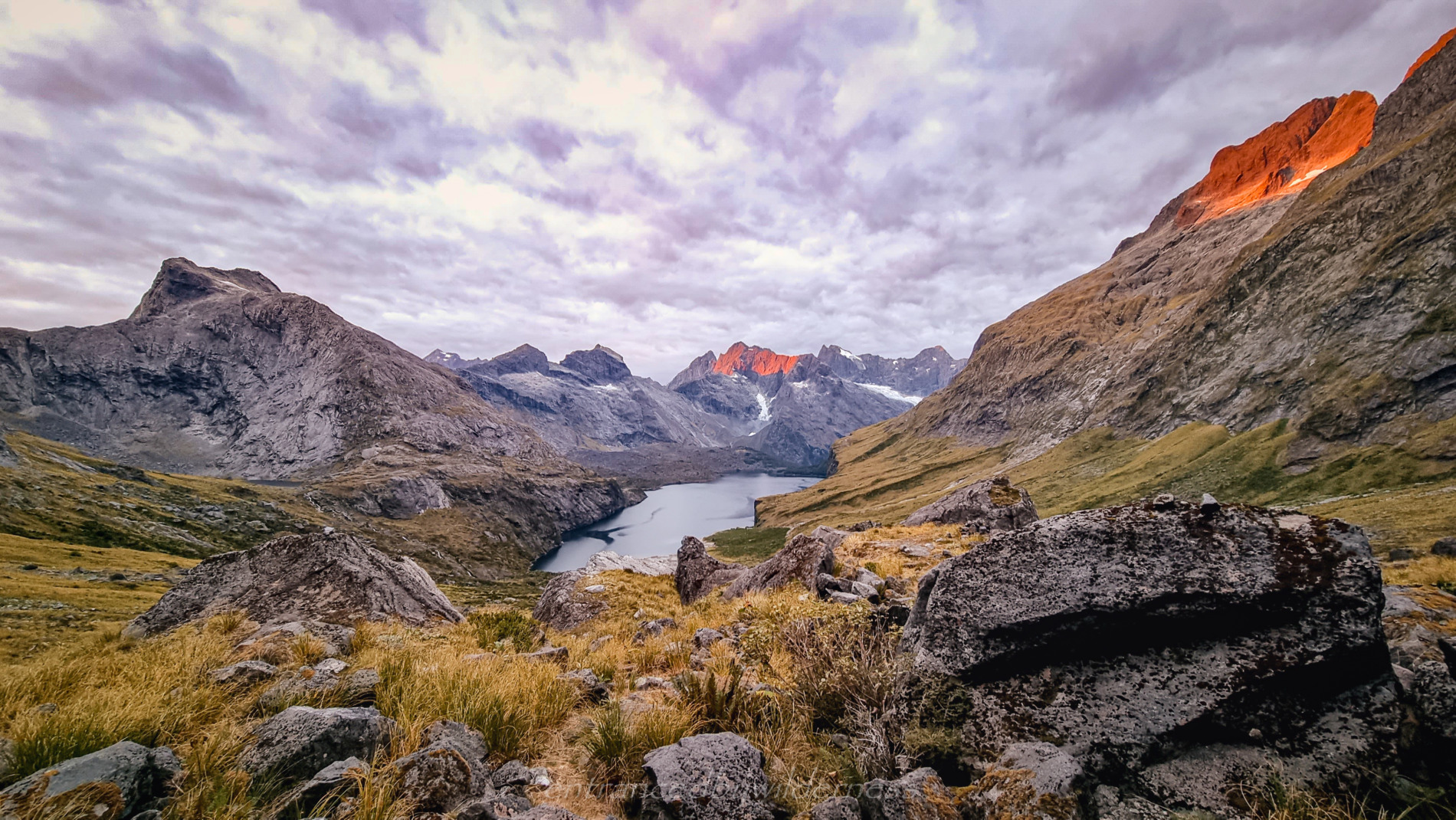
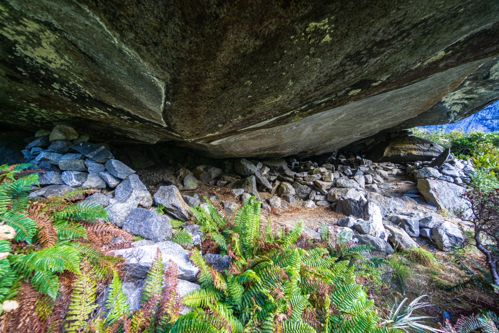
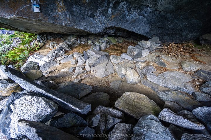
Spotting Phil’s Bivvy was fairly obvious – it’s an isolated large rock, once a piece of Marion Peak. I’m sure. I was surprised to find no one here! In the end, I had the entire duel-chambered bivvy to myself, it seemed!
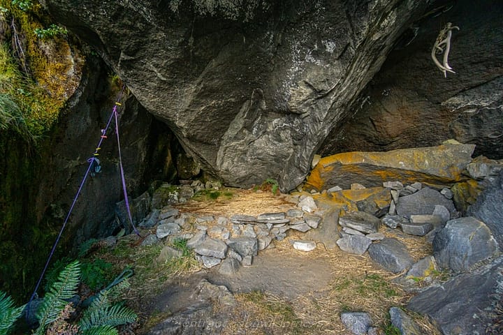
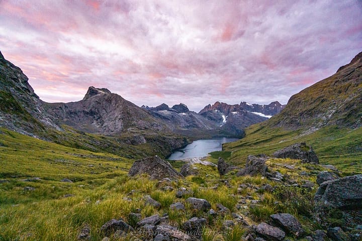
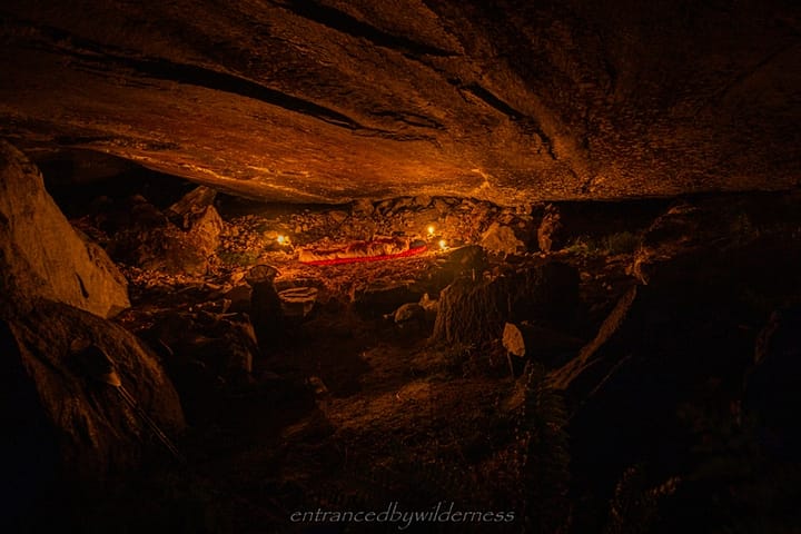
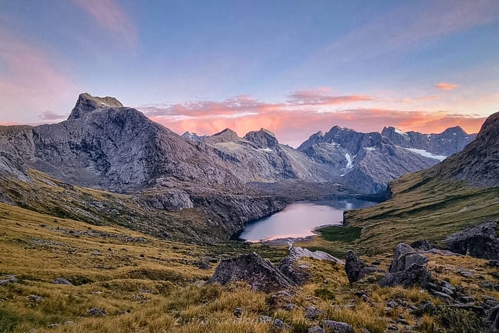
I chose to sleep in the leftmost chamber, as it would have the least light pouring in come morning. It was such a great spot with epic views!
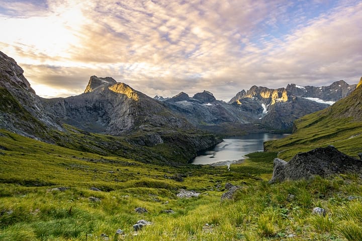
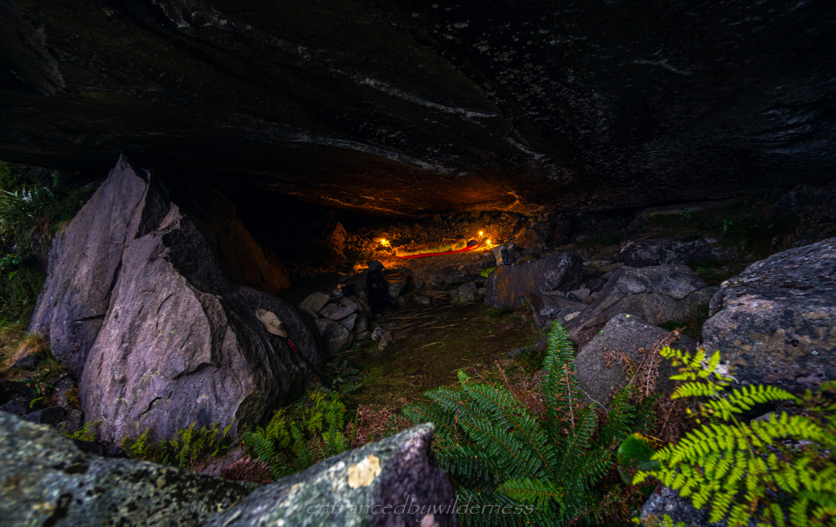
Sunset was a treat, with some pink and purple hues in the clouds, and red tips of the peaks. I utilized my 4 candles to make a very unintentional ‘cult-like’ style sleeping area, and began chanti…. haha… I lie… but, it WAS cool all the same 🙂
There’s something liberating and primal about camping under a rock!
Day 2 – Phil’s Bivvy to Homer Hut / Ride
I was in no immediate rush to leave in the morning. I had my breakfast and coffee, and just admired the views once again. I thought about how I’d like to climb Sabre Peak one day, a popular trip from this bivvy.
I saw (or rather, heard) the three girls from Gill’s Bivvy leave. They were clearly doing the same trip I was, headed to Gifford Crack. I really should have visited them the night before for some company on today’s hike, but I had arrived so late.
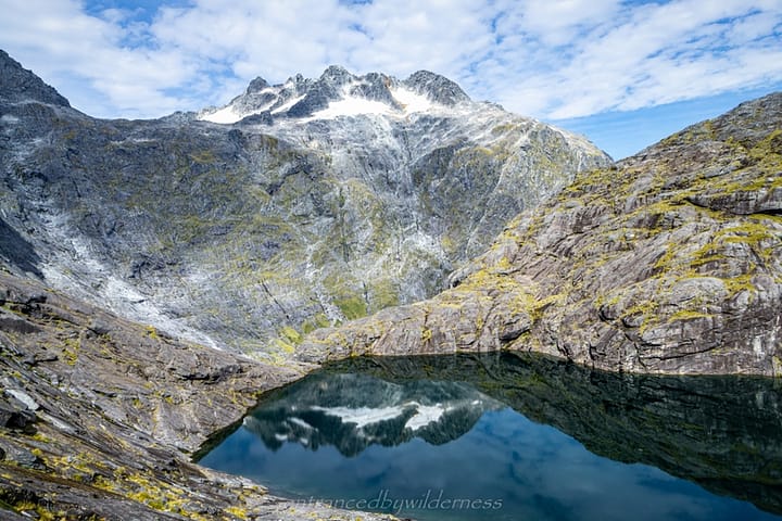
At 8:30am, I began my hike, retracing my steps back toward Gill’s Bivvy. This time checking it out and not just passing it by. It’s not the easiest route down to it, due to vegetation, with the access being from the eastern side. It’s a cool little bivvy, but not as good as the one I stayed in. From here, Lake South America was the next landmark, a small lake at the head of the cirque basin. From here, Gifford Crack was visible.
Gifford Crack Ascent
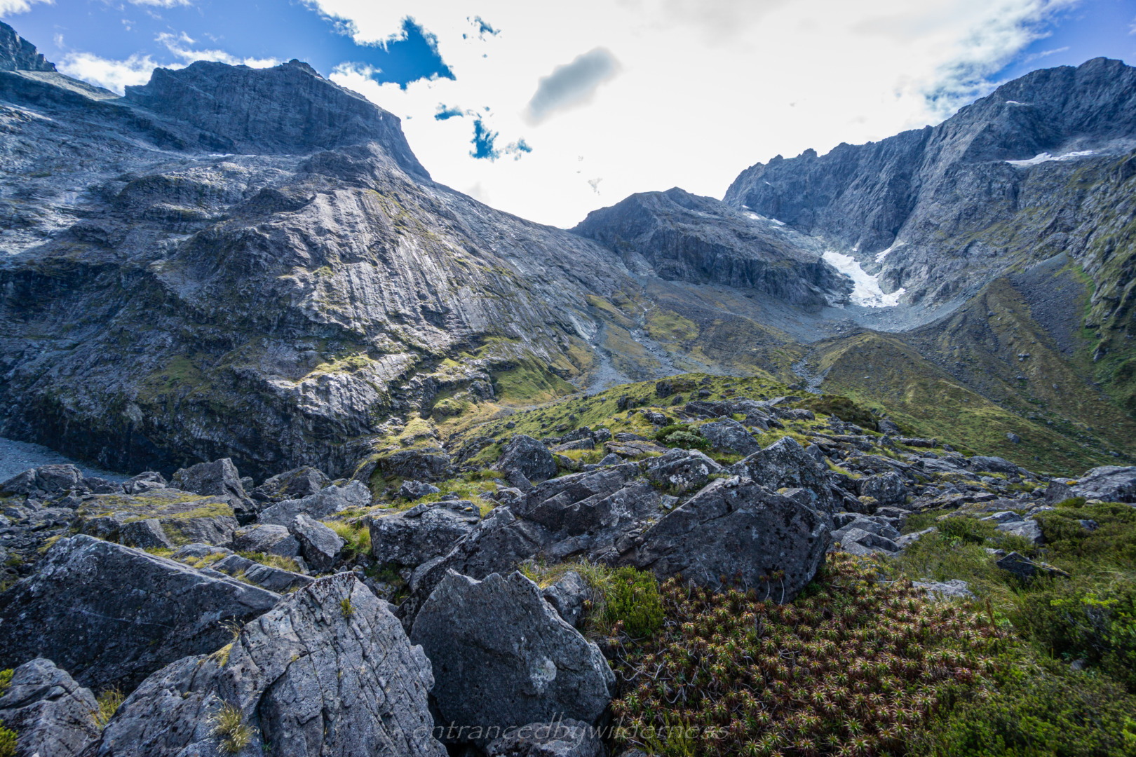
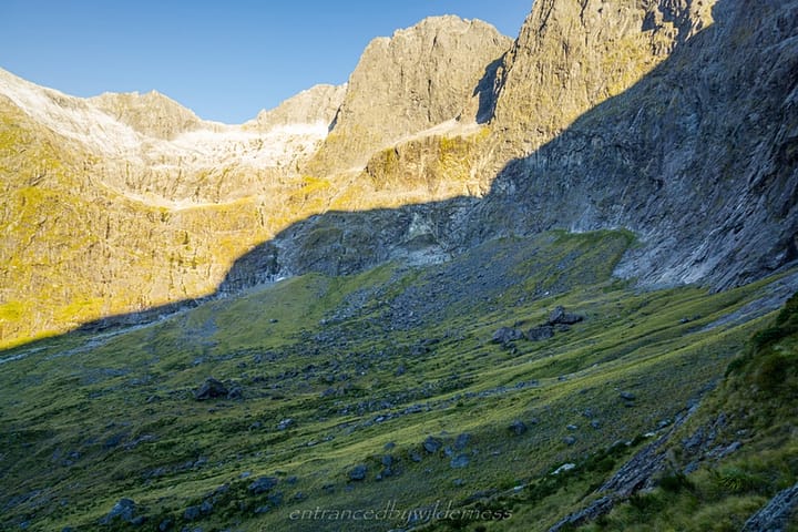
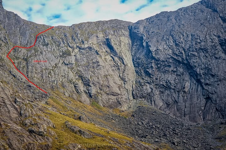
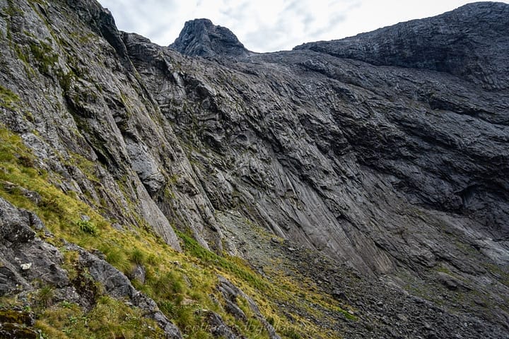
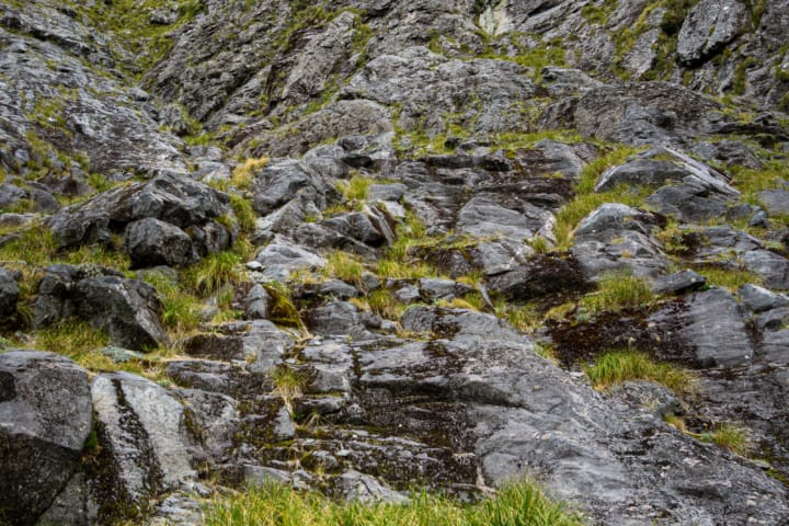
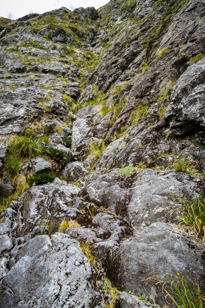
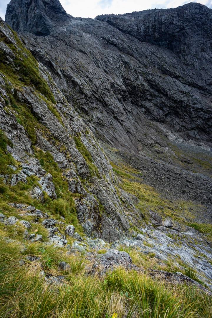
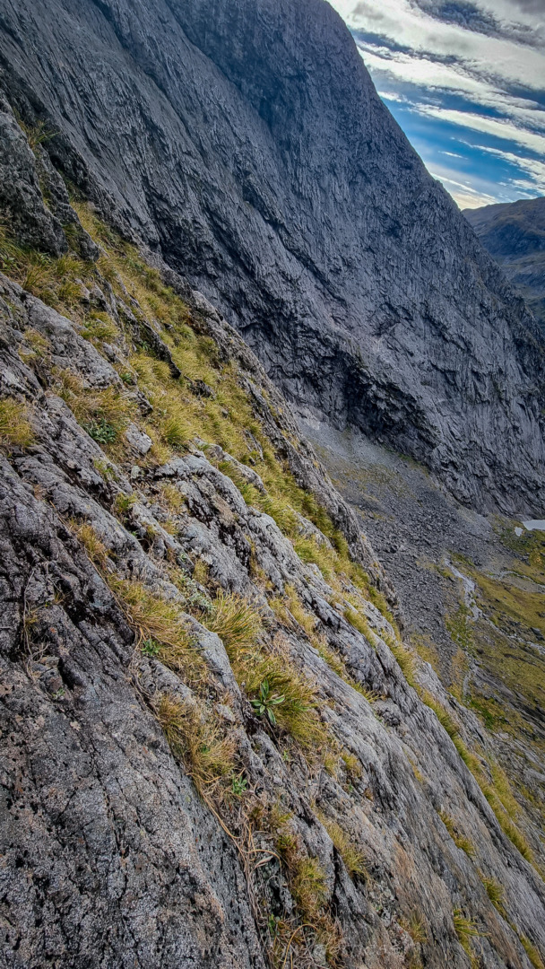
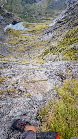
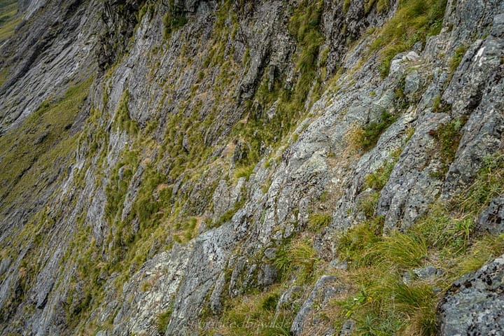
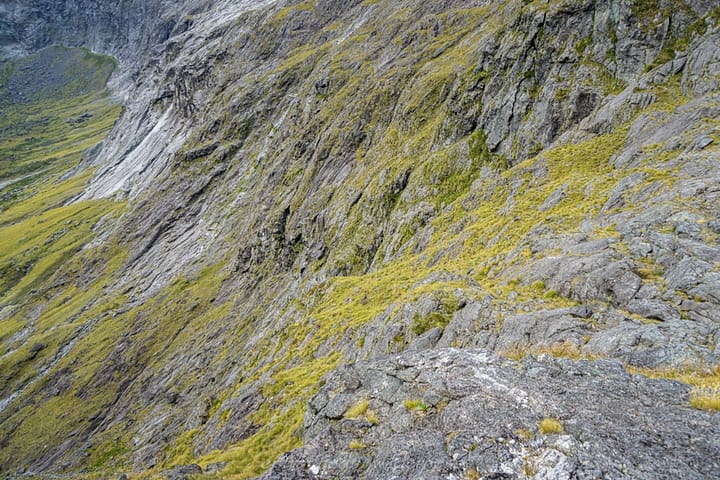
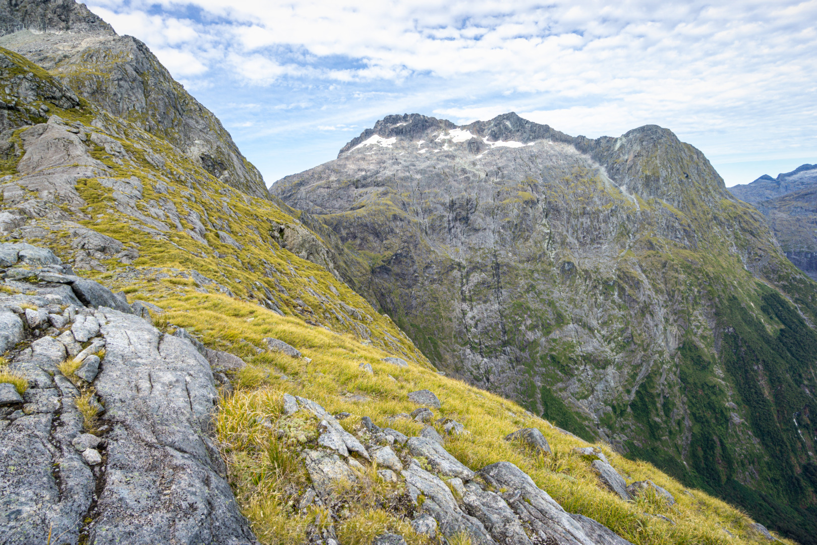
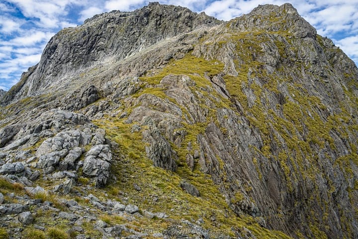
I ended up reaching Gifford Crack at 10:40am. Gifford Crack is one intimidating looking climb on a topo map. It’s basically a vertical wall as contour lines. However, there is a definite crack between two sets of rock strata, creating lots of footholds.
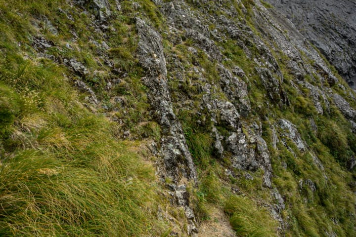
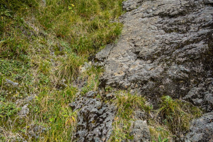
About halfway up, there is a point where you turn to the right, changing angle towards Adelaide Saddle. It was noticeably grassier here, and could be easy to miss. This section was a little less steep, but had more options of routes to take, some less desirable than others.
I actually found the climb to be quite accessible and easy. However, a fear of heights or falling would make it extra challenging for others.
Adelaide Saddle
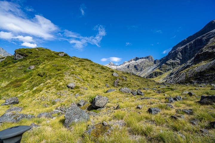
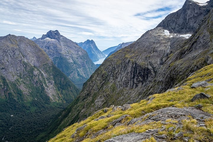
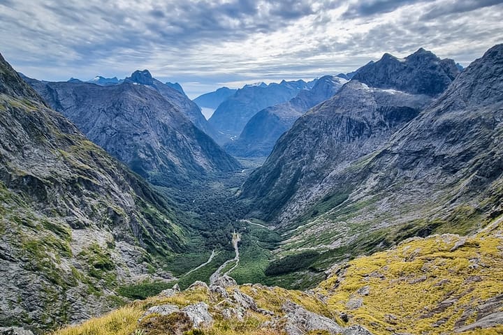
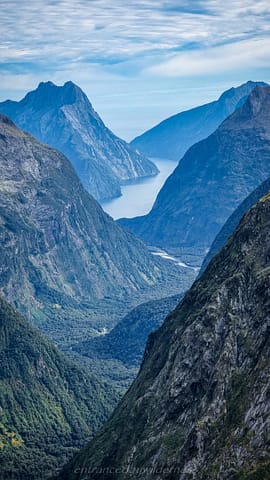
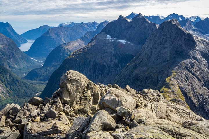
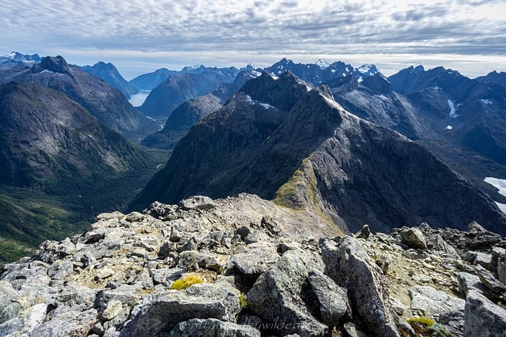
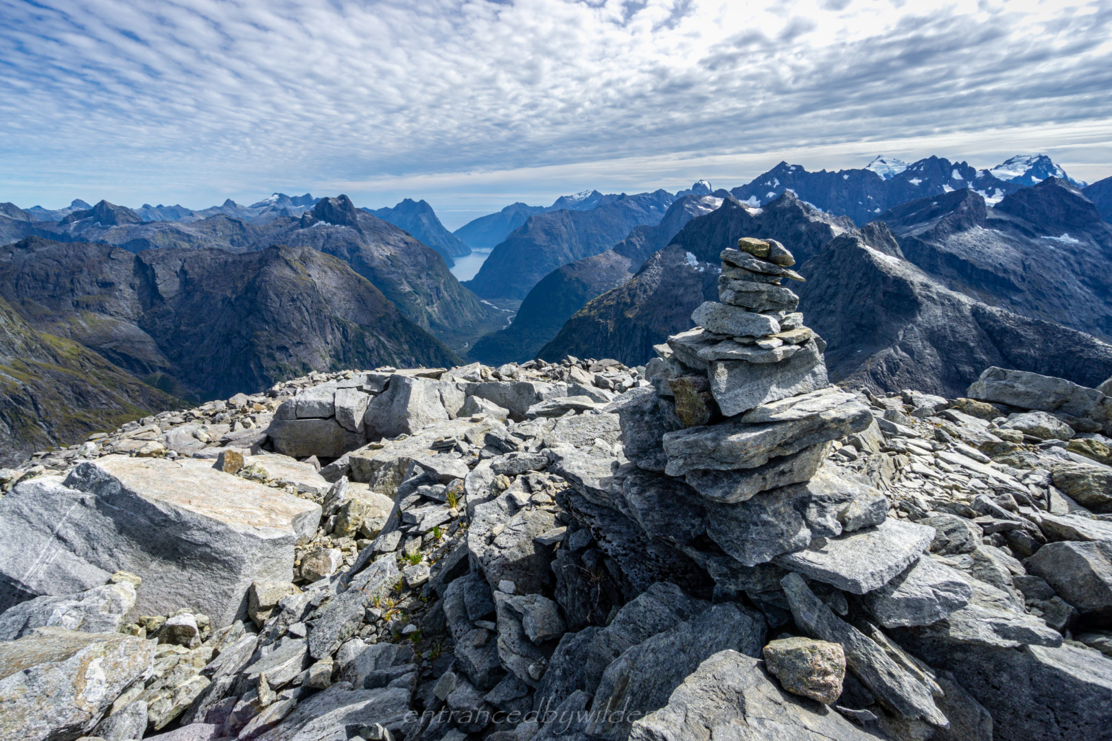
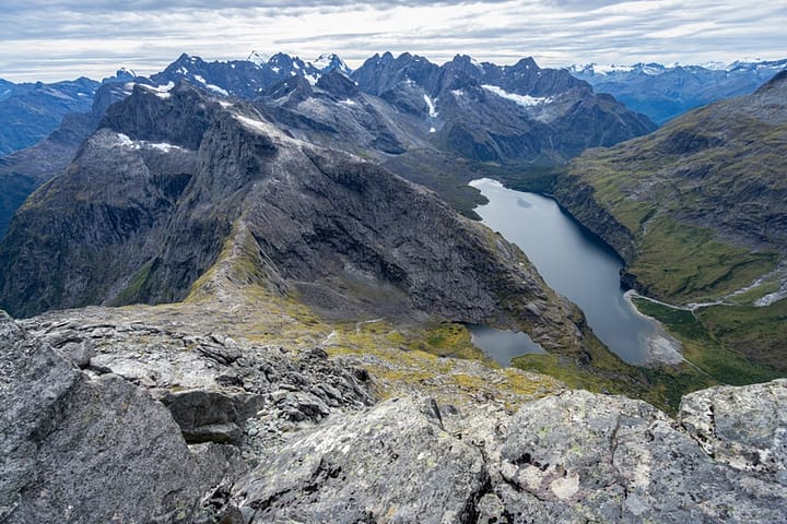
At 11:15am, I reached Adelaide Saddle (1398m). From here, the first glimpses of the Cleddau Valley, and Milford Sound came into view – it was majestic! A trip up to Sentinel Peak would have been a cool side mission, but for this trip, I was heading up via Barrier Knob (1879m).
Barrier Knob
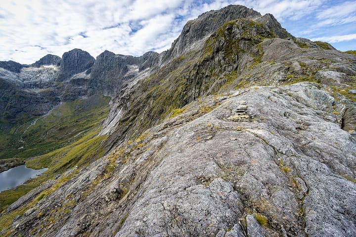
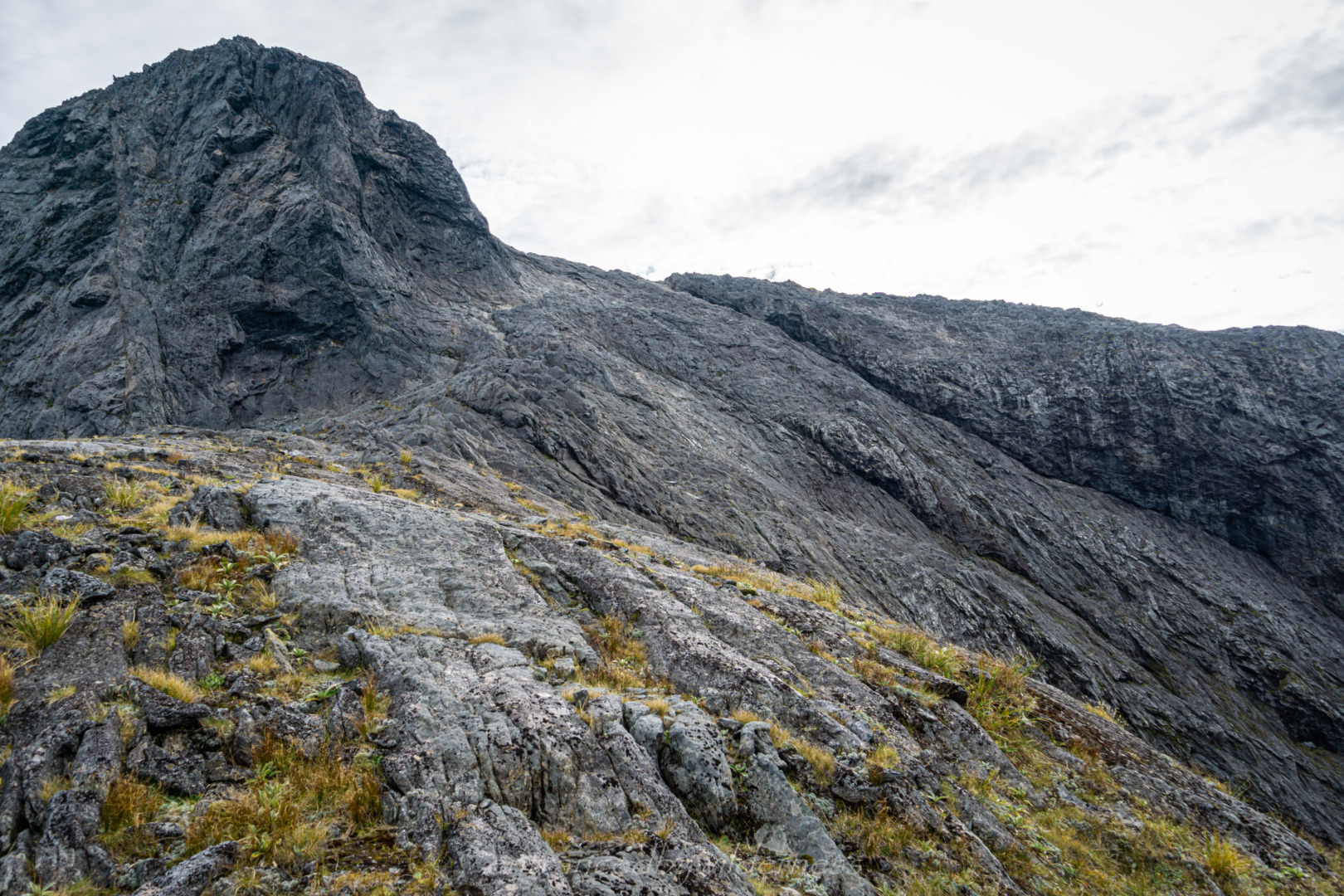
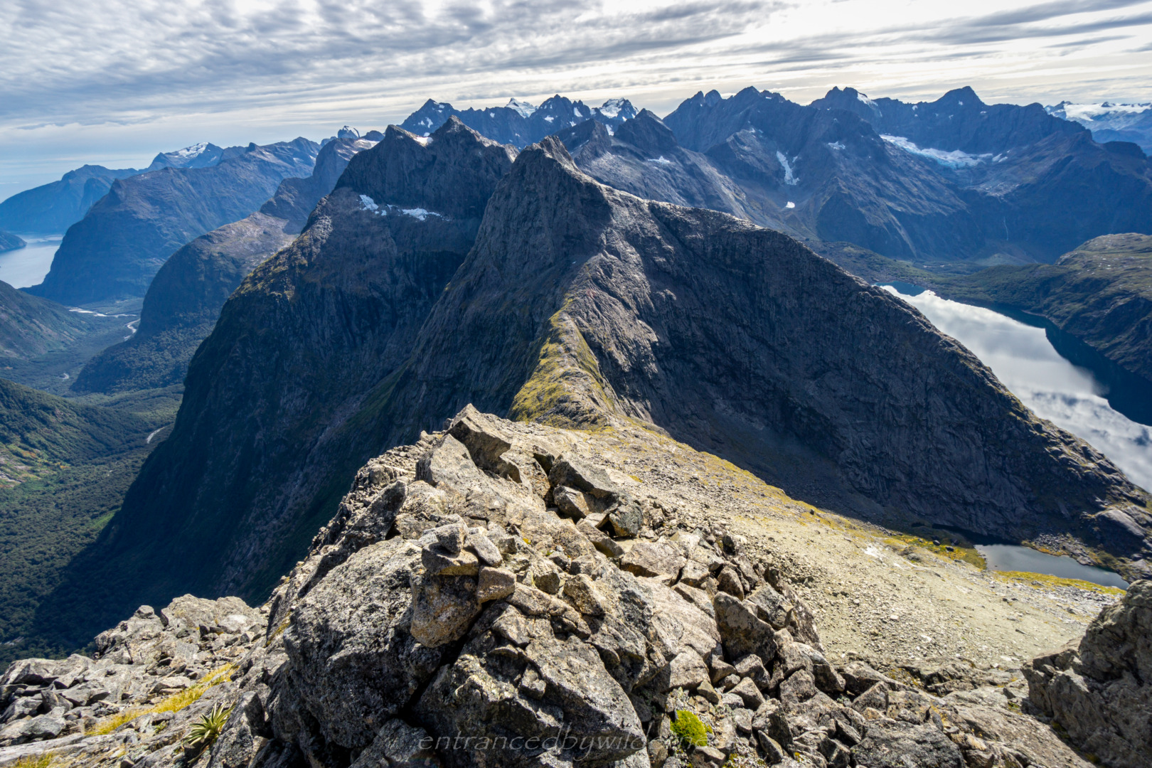
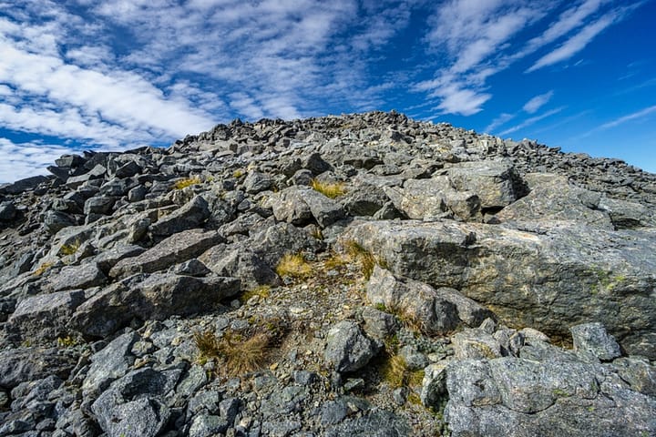
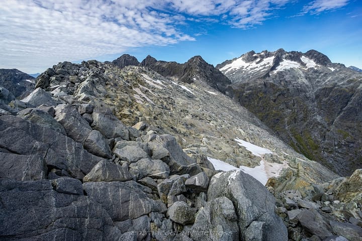
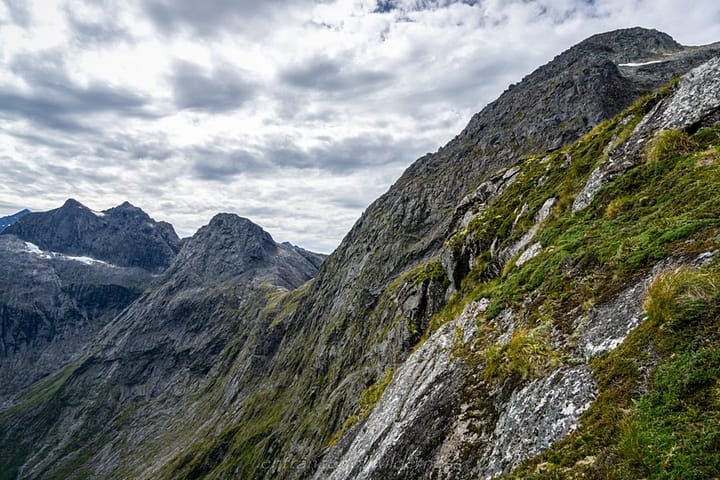
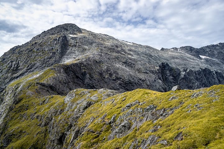
The rocky scramble up to Barrier Knob was pretty straightforward. It was almost 5oom of elevation gain, though, and breather breaks were frequent – but what a view each breather! At around 12:50pm, I had lunch just below the summit. I remember noticing the glacier remnants, and now they were almost gone from the area. Nature can be beautiful, but it’s also sad to see these glacial giants becoming extinct, Especially after they have created all the landscapes that were now in front of me.
Around 1:45pm, I began the descent off Barrier Knob. There were some cairns marking possible ways down, however, there were multiple options. Eventually, you need to follow the spur leading to Gertrude Saddle.
Gertrude Saddle
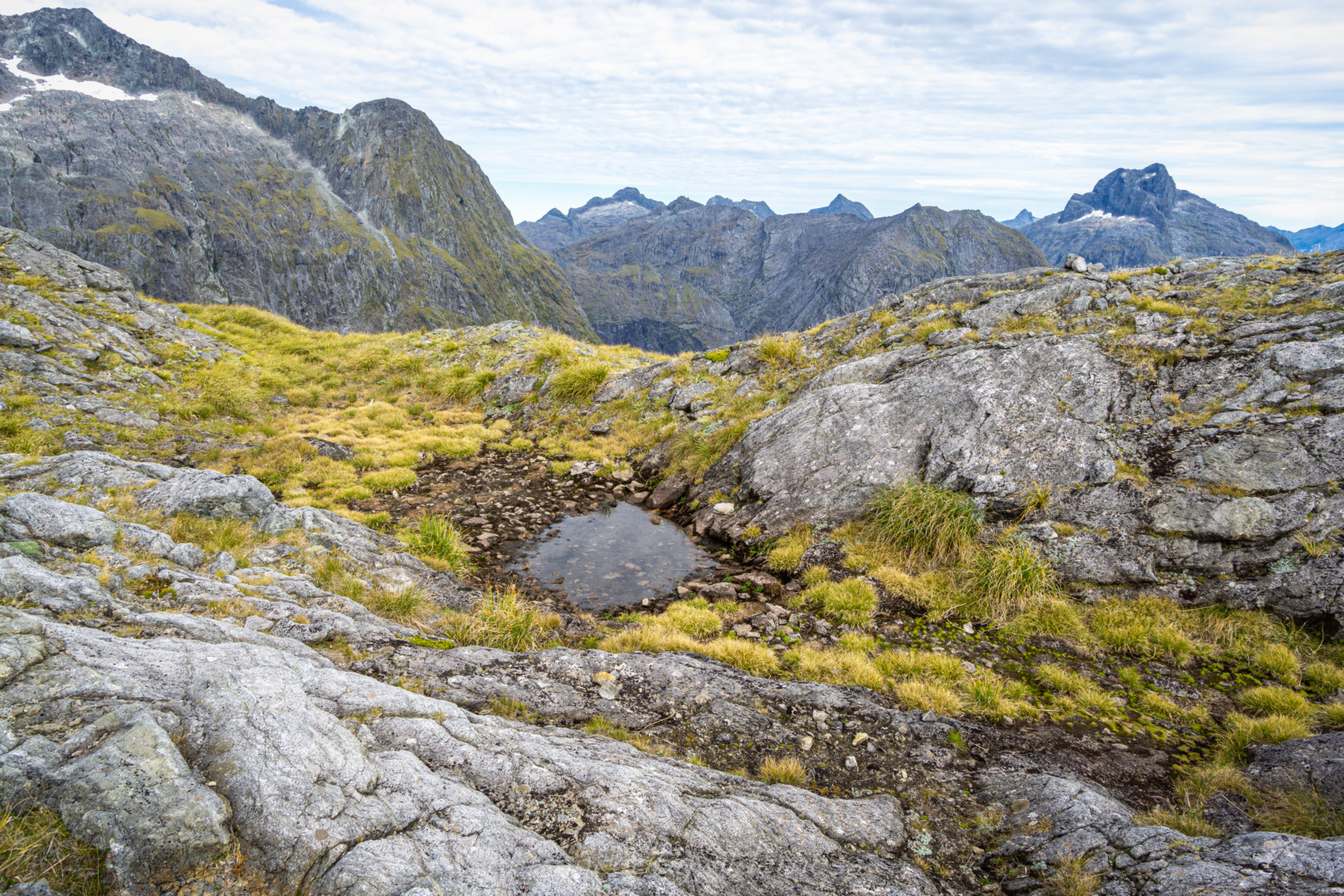
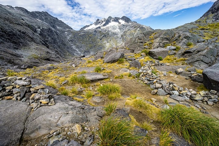
Naturally, this is where you meet the tourists! It is such an amazing view though all the same, a definite must-do in New Zealand. I was so tempted to camp on Gertrude Saddle, but decided to just complete the trip today. There were loads of incredible camping sites to chose from there.
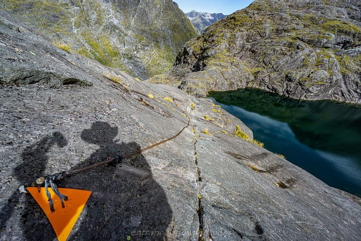
The descent off Gertrude Saddle is pretty awesome. There is cable for support or wet conditions (I didn’t use it). Most of this section is smooth bedrock. It would be quite challenging in wet or snow conditions, I think.
Homer Hut
Eventually I reached the valley bottom, and hiked the last 2km to Homer Hut, where my bike was stored. I arrived at 4:35pm, and geared up for the easy ride back to my van!
The Ride
Milford Sound Highway / Lower Hollyford Road
The ride back to the van was a genius idea. It was by no means a short ride – 23km or so! However, it was 700m, and almost always downhill! The entire ride only took 50 minutes – I couldn’t believe it (I mean, it was an E-bike, but it wouldn’t have taken much longer on any bike).
Summary
Pros:
- Dramatic mountain views
- Route can be simple (like mine), or upgraded for some more mountaineering side trips
- Phil’s Bivvy is one of the better rock shelters I’ve been in
- View from Barrier Knob
- Easy ride back to van if only have one vehicle
- Epic for just an overnight trip
Cons:
- The flat section between Moraine Creek and Lake Adelaide is not exactly the most straightforward section, with the huge vegetated rocks.
Your Donation Really Helps!
In order to support the travelling and hiking community, I spend many hours per week or month to adequately document all information and advice for prospective visitors, accompanied by a (hopefully) entertaining insight into my personal experiences. This service is, and will remain, free. However, running a non-profit website and spending time creating content comes with financial and personal costs.
Did you like this article? Share it now:
- Click to share on Twitter (Opens in new window)
- Click to share on Facebook (Opens in new window)
- Click to share on Reddit (Opens in new window)
- Click to share on Tumblr (Opens in new window)
- Click to share on Pinterest (Opens in new window)
- Click to email a link to a friend (Opens in new window)
- Click to print (Opens in new window)


What an adventure bro! I have wanted to do this hike for a long while now. Thanks for letting me tag along 🙂