
Turning Smaller Hikes into a Longer Journey
20/01/18 – 22/01/18
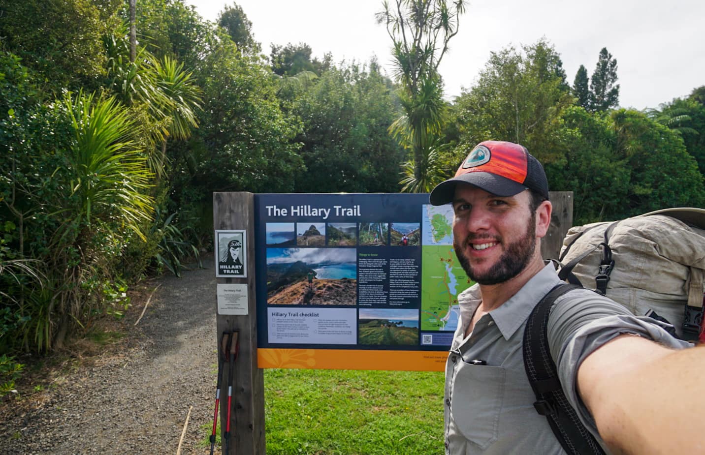
The Hillary Trail
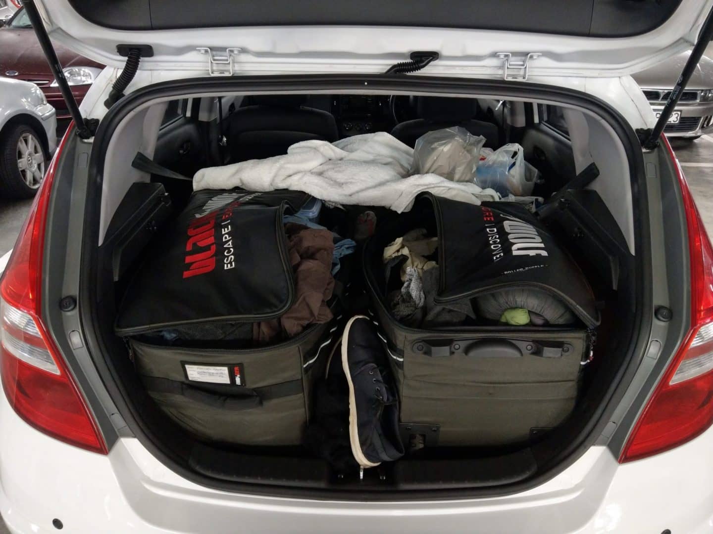
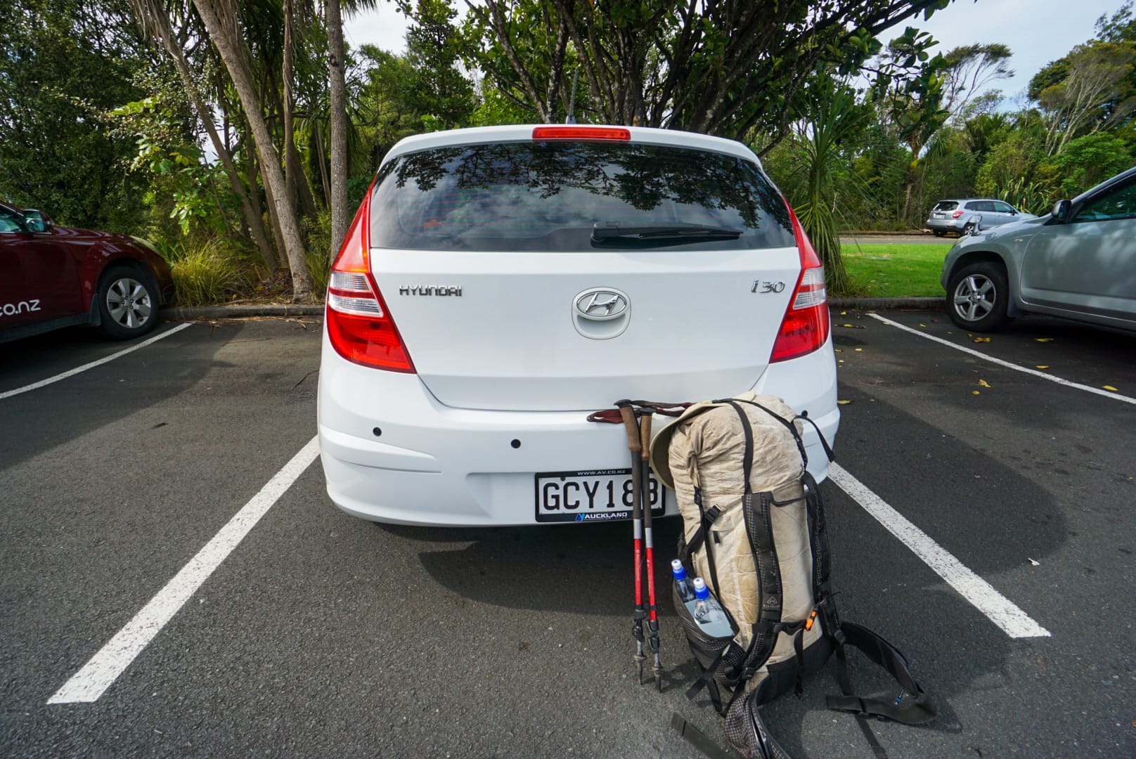
The Hillary Trail wasn’t even on my radar when I left from Auckland. My newly purchased car (which is basically a moving cupboard with all my shit thrown in it) and myself finally got to set off on our new journey! After doing some food shopping and leaving the hostel, I headed West from Auckland into Waitakere Ranges National Park. I decided whilst driving that I probably should buy some bags or something to organise my gear, especially the food which was just a pile of grocery bags.
It took me an entire half hour of driving after leaving Auckland, to arrive randomly at Arataki Visitor Centre in Waitakere Ranges National Park find where I found a multi-day hike that I had never even heard of! It was called the Hillary Trail, and follows the coast taking usually 4-5 days.
I made a decision in about 30 seconds to do the hike despite not even being prepared (and it was 4pm!). No matter! They had a brochure of the hike I skimmed through to check terrain, water points and a potential road to finish in as to get a hitch back to my car at the visitor centre. I pulled out my pack threw my gear in, a bag of random foods and 2L of water and set off on my first real hike since finishing the PCT back in September 2017.
Day 1
It felt good to be back on a trail, trekking poles in hand and finding my stride. My pack was super light, the same old habits in the PCT never seem to escape you. It was reasonably late in the afternoon (4:40pm), so I wasn’t going to make a lot of distance today.

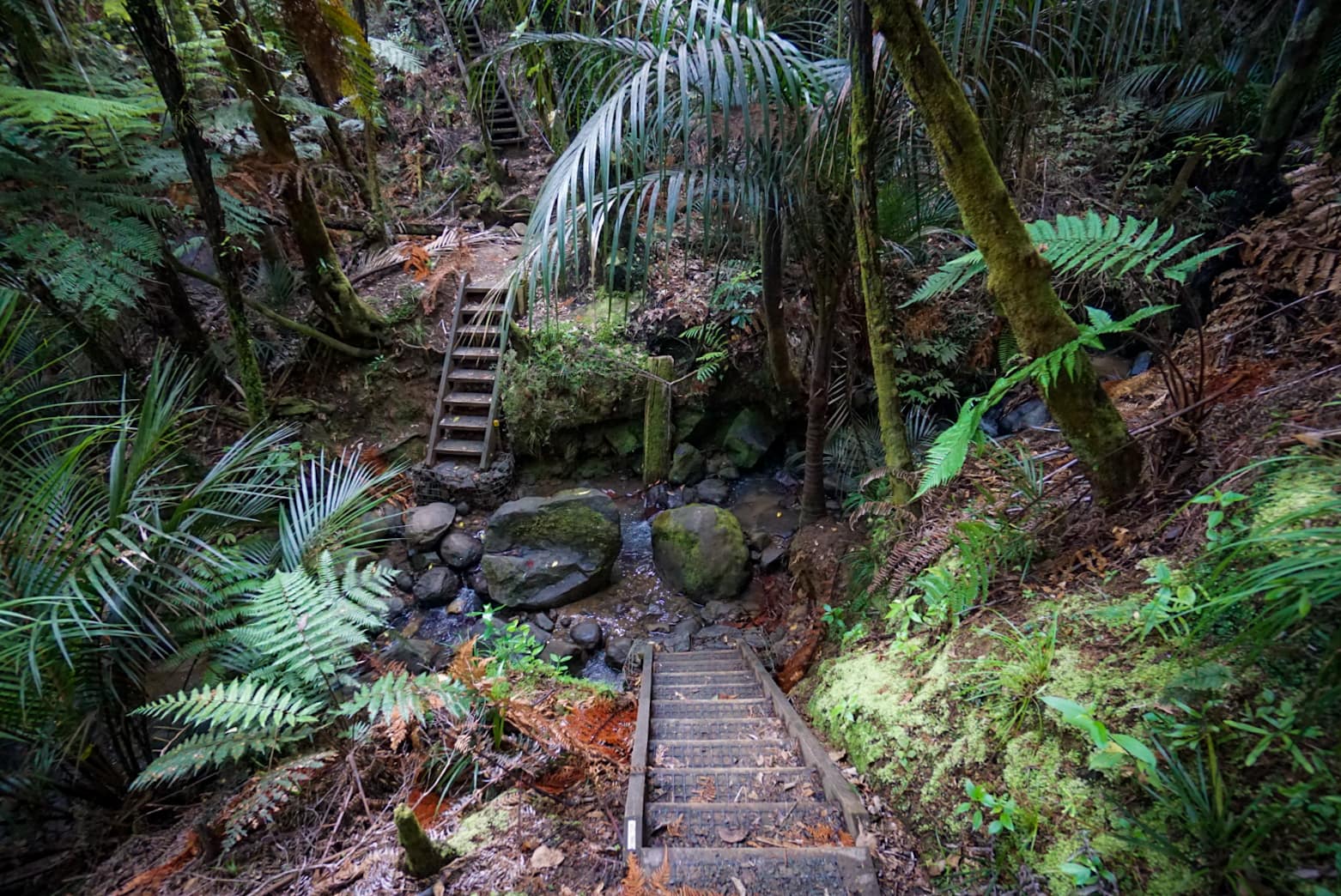
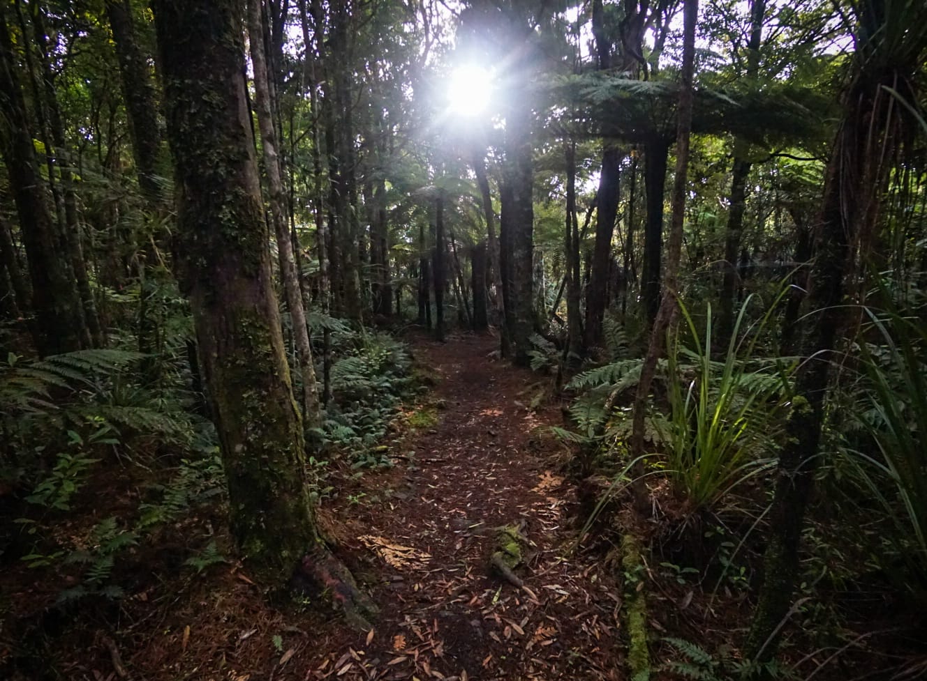
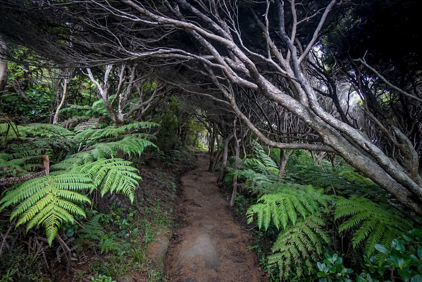
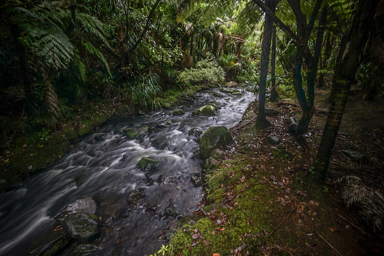
It was only a 12km 4-5 hour hike to reach the first major camp ground, so I had plenty of time, as the sun doesn’t set until after 8pm. The first day of hiking on the Hillary Trail starts off quite interesting with a rich silver fern and palm forest on mostly well established trail or forest road.
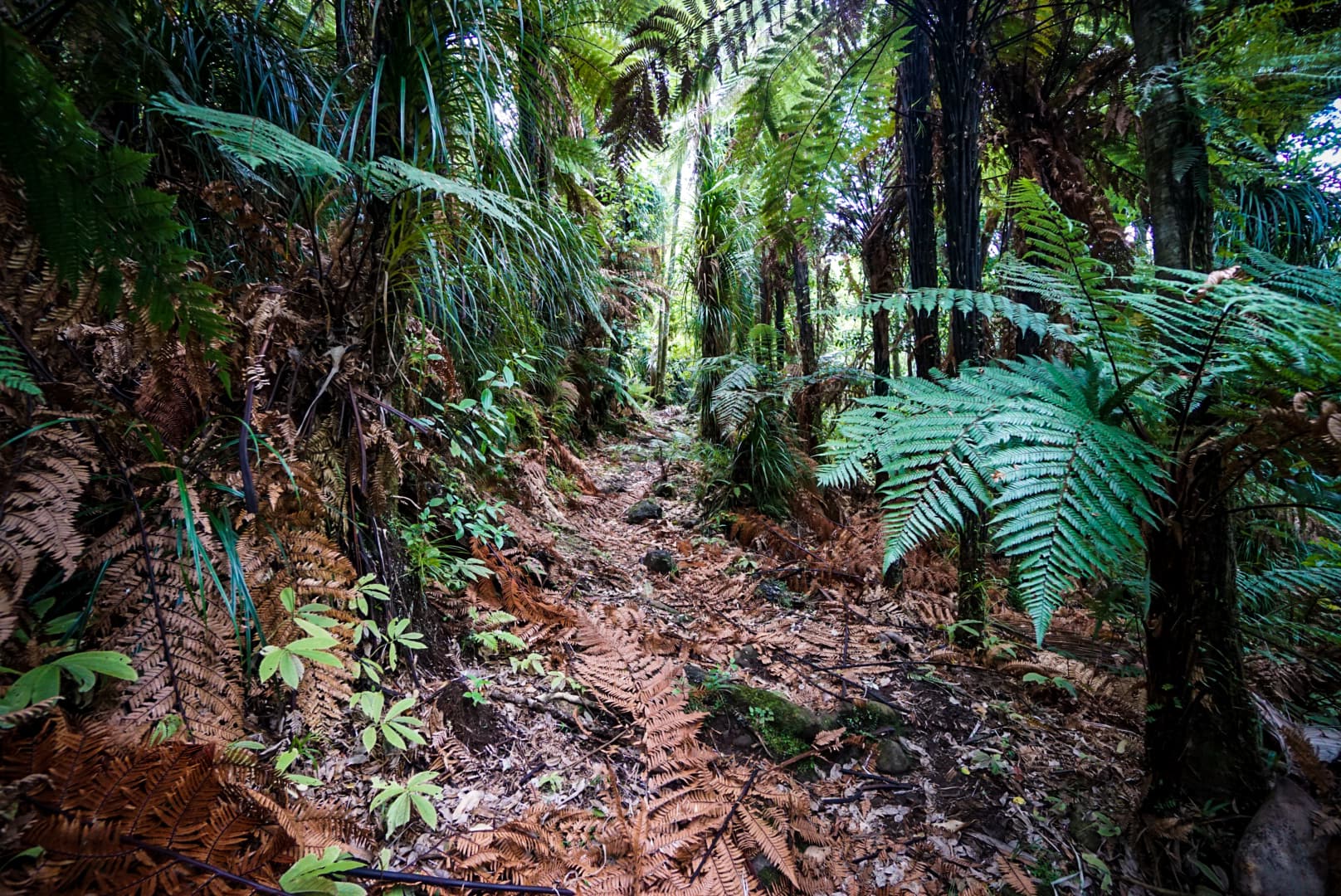
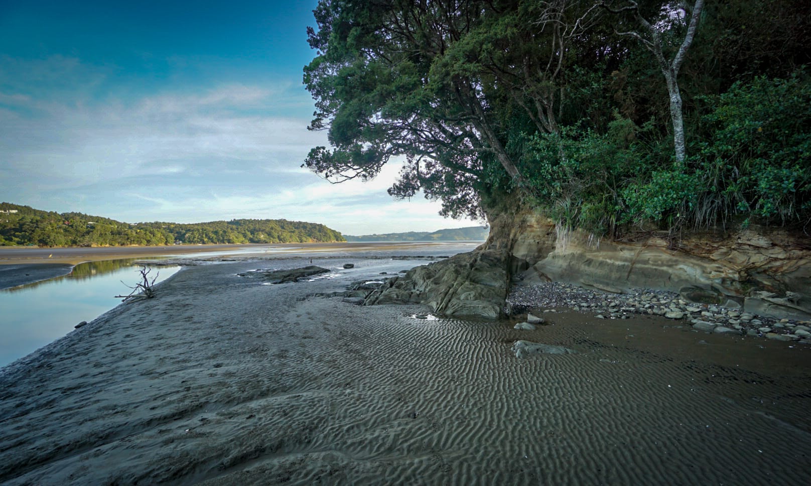
However, most of the last part was road walking, which gets a little tedious in long stretches. There were good views of sheep though in these parts, essential for the kiwi experience! Near the end of this first section – providing the tide is low – you can hike on the tidal mud flats. This was actually really nice and finished the day perfectly with the campsite not far away.
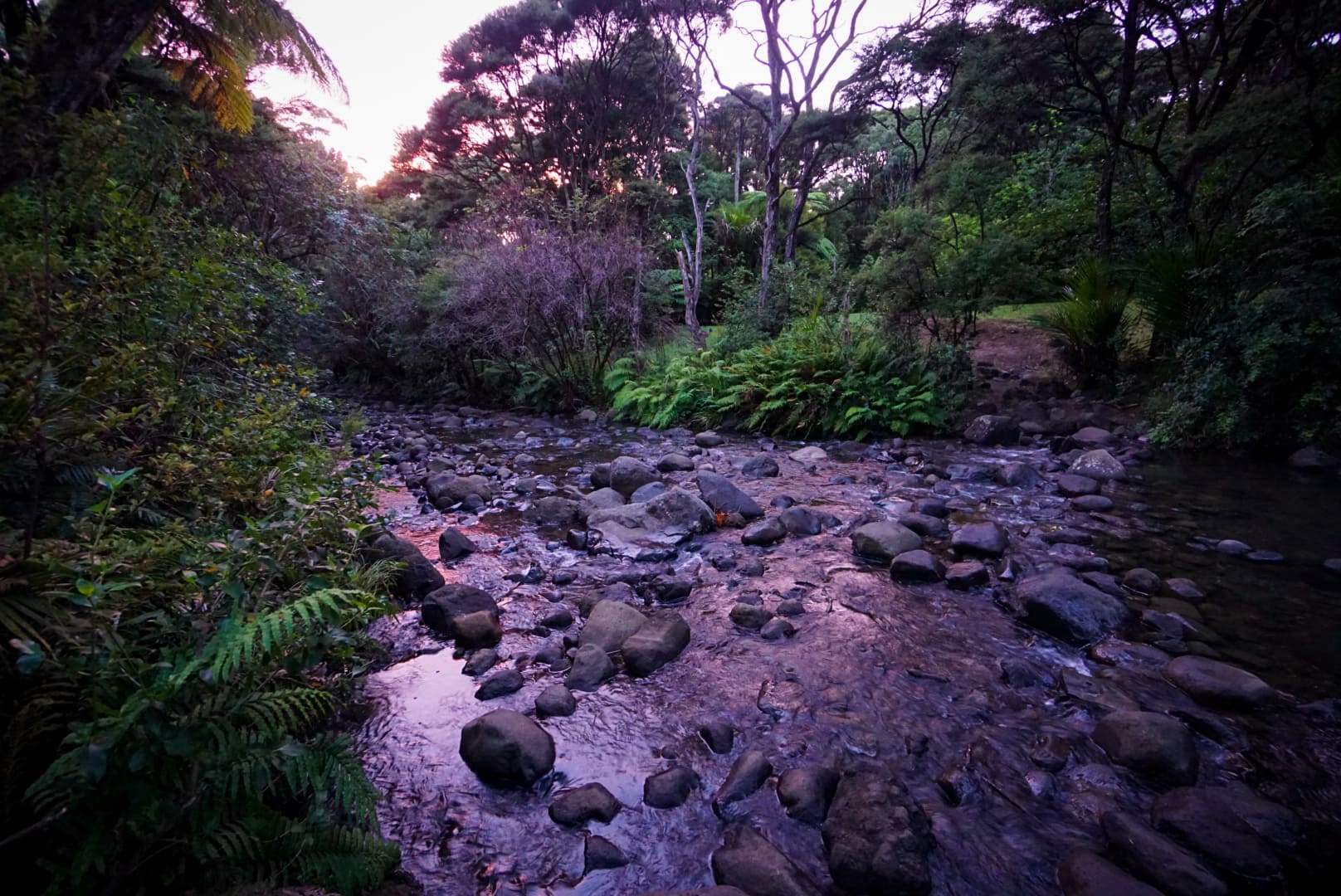
Karamatura campsite is a grassy area by a small lovely stream. There were a few car campers in a group there, with me being the only other person. I set up on the other side next to the stream by myself. Ahhh the sound of running water – I truly miss it! This was my first night camping in several months, and it felt great!
Day 2
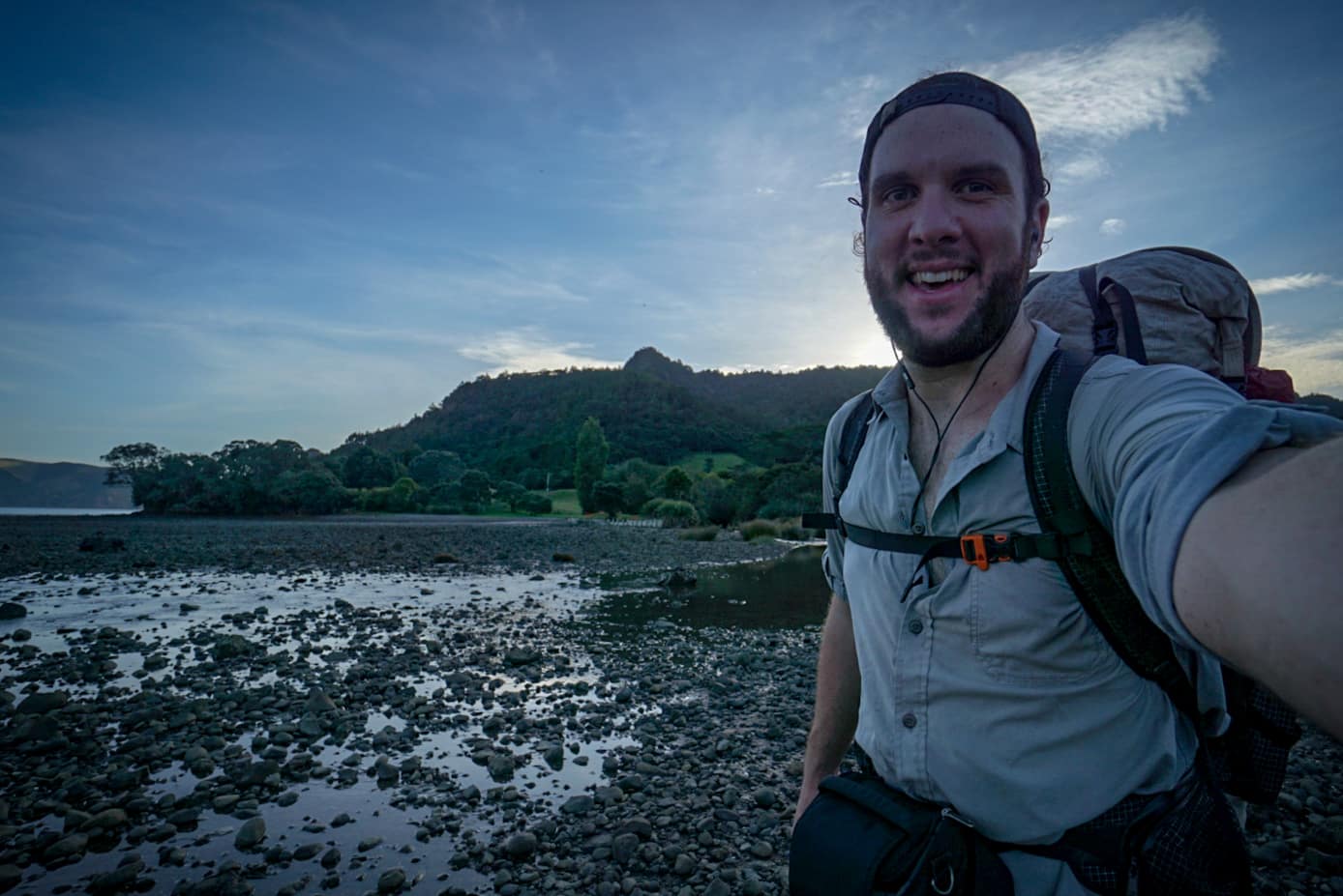
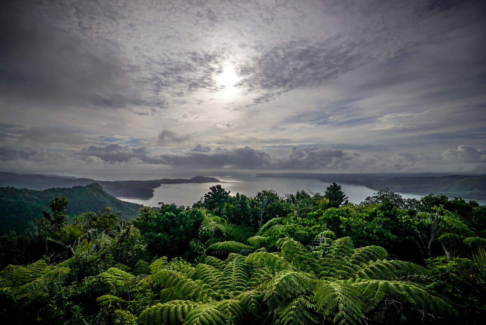
For some reason I got up early without an alarm which enabled me to have an early start. To start the day, it was a brutal climb up to Mt Donald Maclean – which I climbed to the summit of as a short side route. The views there were great, but you knew they would only get better in the direction the hike goes. The Hillary Trail is basically a lot of smaller trails joined up.
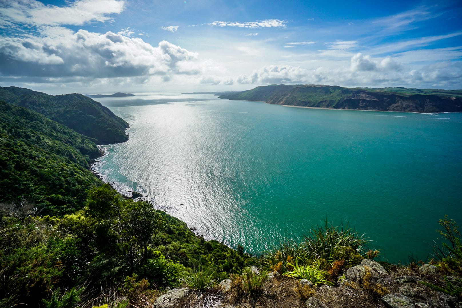
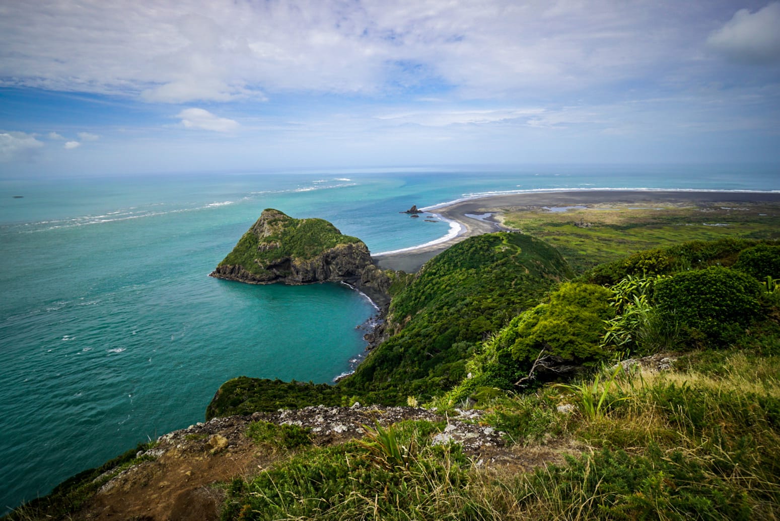
The next Hillary trail section was the Omanawanui section and was some of the coolest scenery. It was quite a rough section of trail, with steep up-and-downs as you head over the small mountains. The views the entire way were sensational. This part of the trail was not for the front hearted hiker, it’s at least a moderate-hard section.
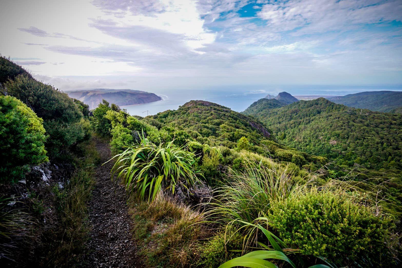
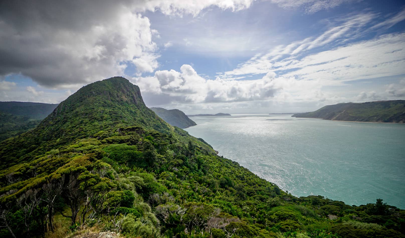
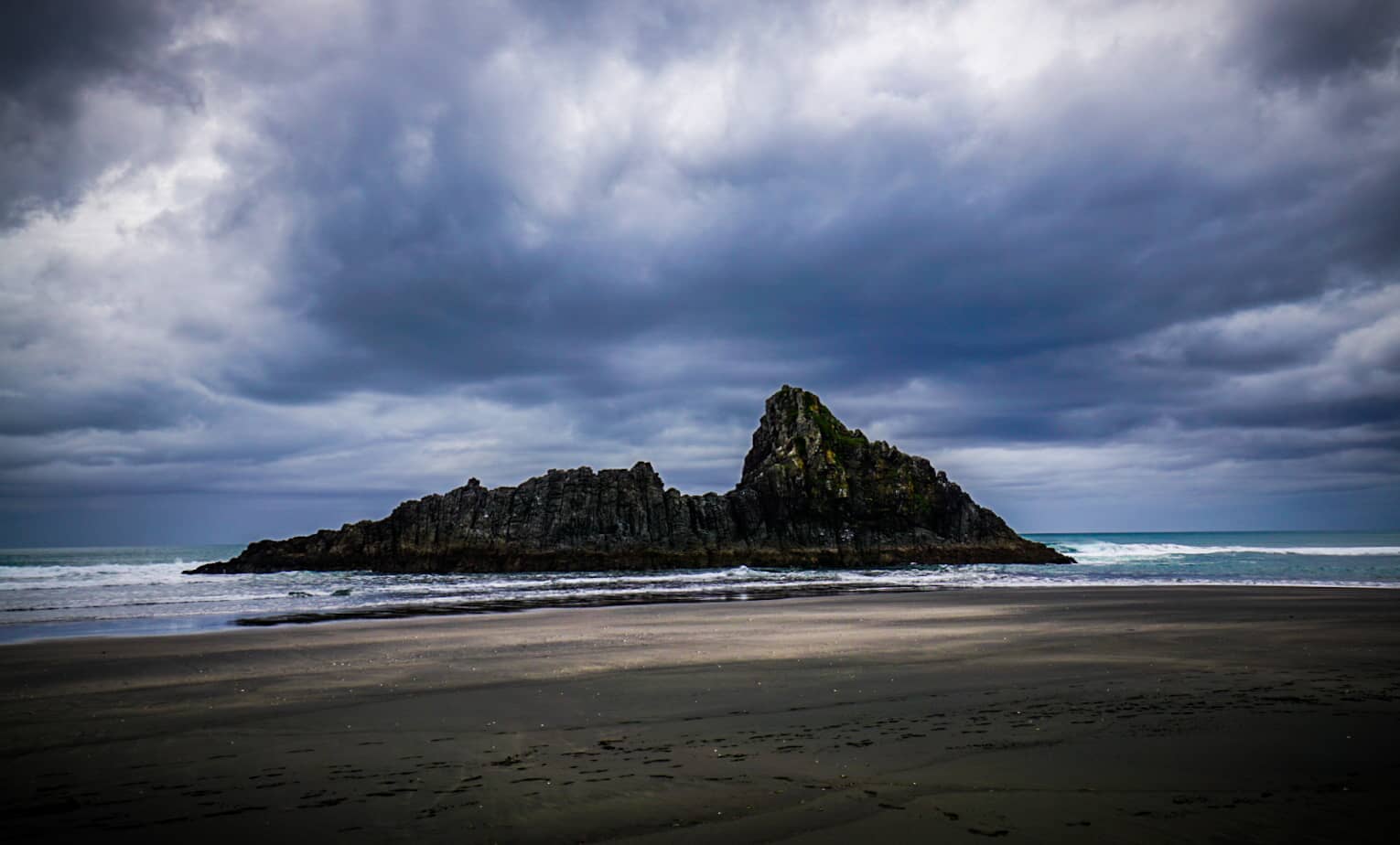
Toward the end of this section, you get a good view of Paratutae Island and the small lighthouse, and the seascape surrounding the black volcanic sands in the area. I took the short side trail for a closer view but the view on the higher peak was better anyway.

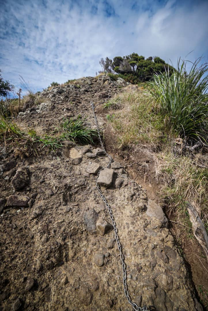
This then led to arrived at another popular car camping ground – Whatipu campsite. There is water available here – I was running low by this point, taking exactly the right amount (2L). There was no place to fill up water between Karamatura campground and Whatipu. After the campsite, there is another steep climb to a high ridge with a good view. From this point on, the trail was very well maintained and looked after – have to thank whoever put the hard work in!
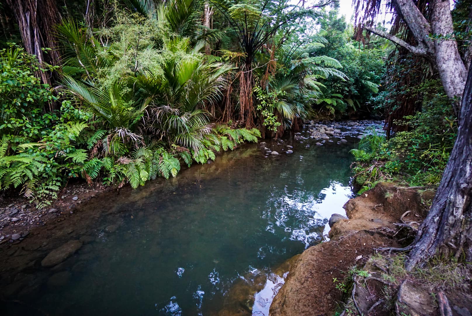
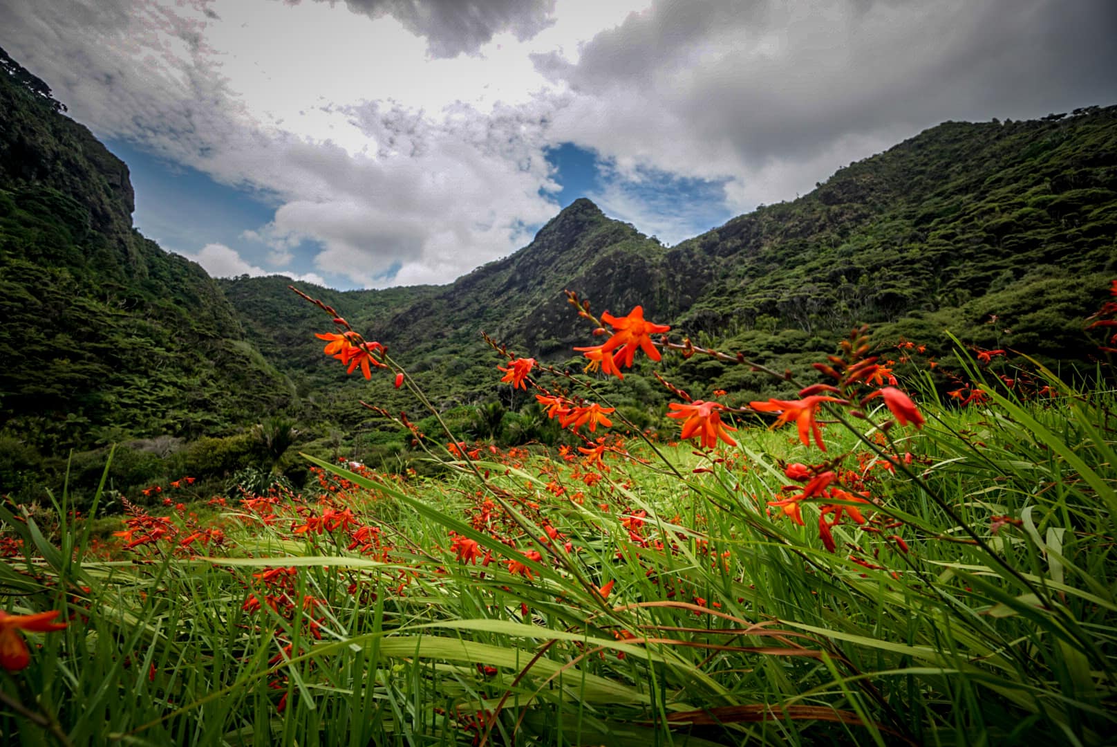
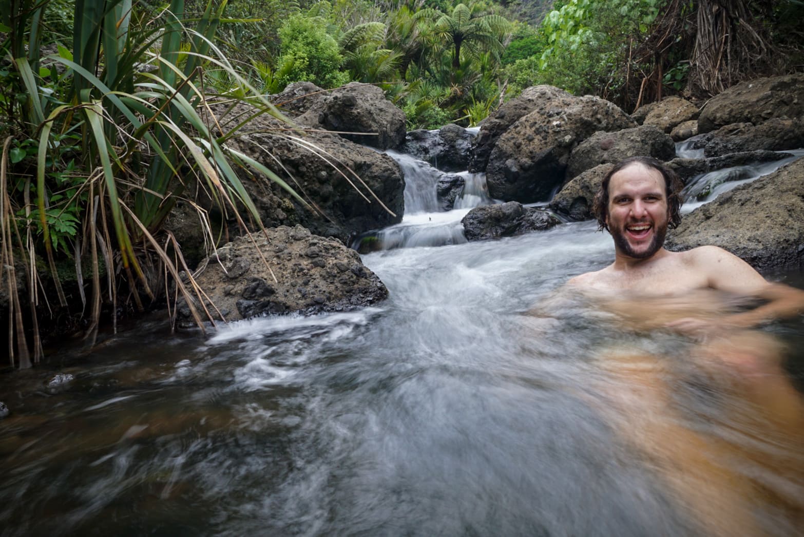
It was mostly a gentle downhill towards Pararaha campsite, which was tucked away in a gorgeous valley with a running stream and good facilities. I was very tempted to camp here due to its remote location and scenery, but it was too early. I ended up having a wash and cool off in the stream. It was just perfect.
As you exit the valley, you begin the beach hiking section. You’re not exactly on the waterfront, it’s a deep beach, and you hike more on the vegetated dunes.
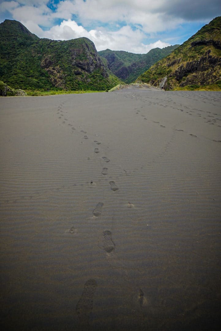
There’s a campsite in the middle of this section, but it’s very basic with no running water or tank water, so I pushed on further. The only other campsite was at the end if the small town of Karekare called McCreadies campsite. It’s right next to the main road, and not the best for remoteness or privacy, but it’s still quite nice with a beautiful stream at the back and good facilities.
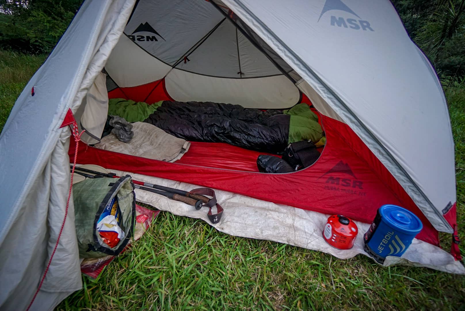
I was too tired to do much other that lay in my sleeping pad and prepare dinner in tent – also due to the hoards of mosquitoes present. Rule 101 when using a gas stove is don’t do it in your tent, but I’ve done it so often now when mosquitoes are out I just don’t care. The rain kept coming all night, but I was dry and safe.
Day 3
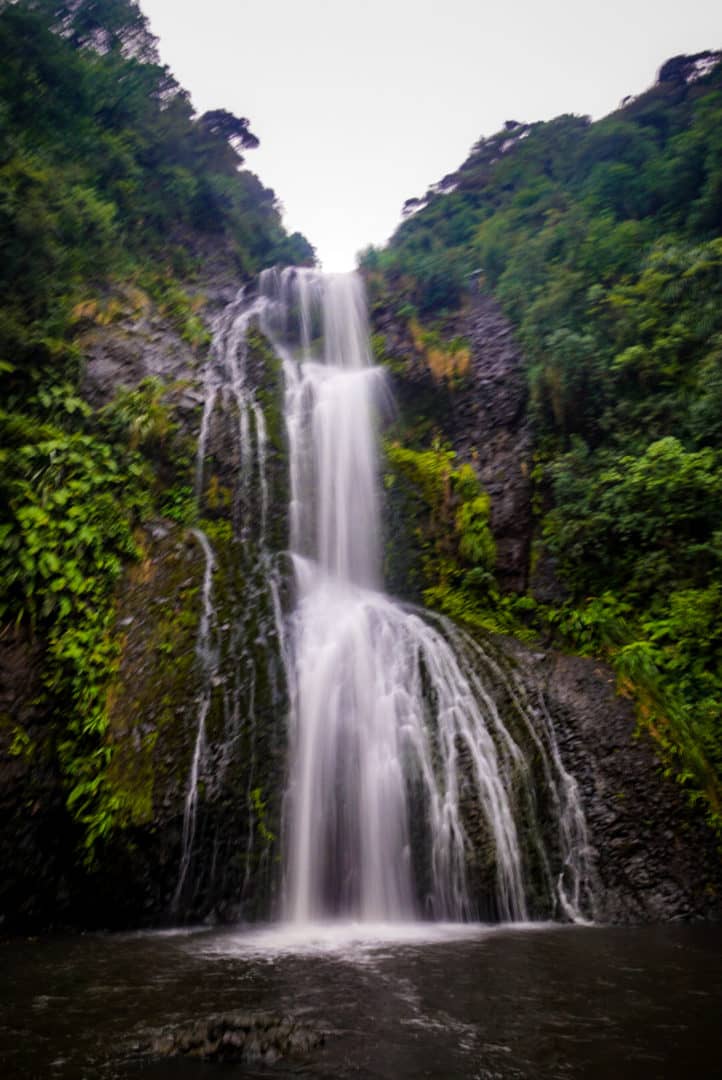
It was still raining when i woke up, and it was predicted to rain for several days after. I decided that I’d finish the trail early – It wasn’t just the rain, I had a lot if fresh food in the car still (as I didn’t plan for this hike) and the next town had a good access road to hitch back to my car. Also, after doing Kitekite Falls today, the ‘best parts’ of the trail were done – although I was told the final section on the last day is good too.
It was time to pack up all my gear including a wet soggy tent and make way. I took the alternate route up the Horoeka Track (which is a brutal steep climb) to get to the combination of trails leading to Kitekite Falls – the tallest falls in the park. An early start to avoid tourists was a good plan, but it turns out tourists don’t like rainy days and waterfalls (the best time to see them!). I was the only person on the trails all morning!
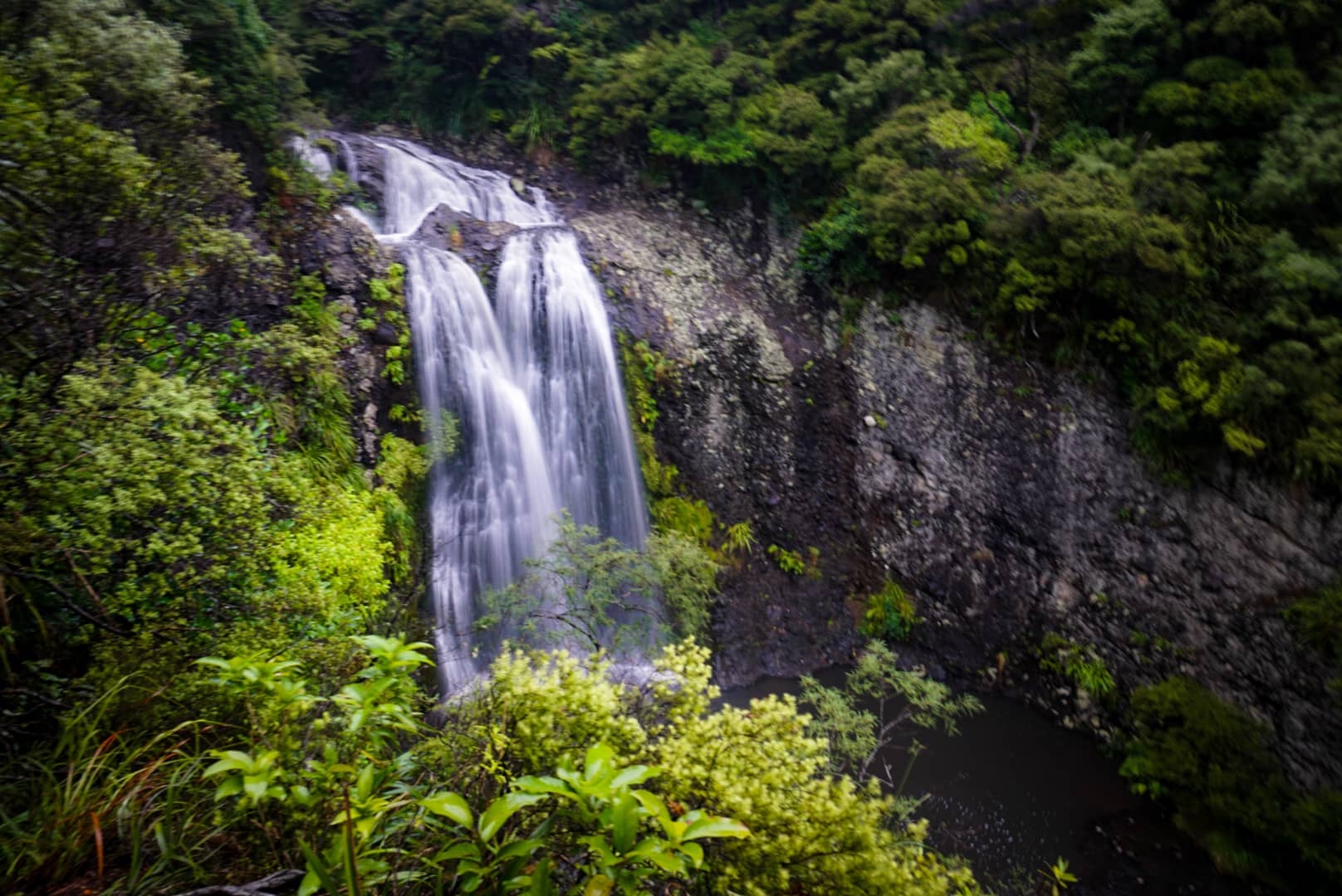
Kitekite Falls were impressive! Two different falls, and both were eye candy.
After the waterfalls, I headed briefly into Piha – one of the few ‘substantial’ little towns on the west coast of North Island. It was far too rainy to appreciate its amazing beaches and the iconic Goat Rock, and I quickly left to get a hitch back to my car.
The hitch wasn’t easy, due to the road having no pullover points, but a 500m walk up the road led me to a small bus stop which was ample. It took about 20 minutes to get a hitch to the junction, and from that point, I instantly got a hitch back to Arataki Visitor Centre where my car was parked. Thus completing my shortened version of the Hillary Trail (I completed about two-thirds of it).
Your Donation Really Helps!
In order to support the travelling and hiking community, I spend many hours per week or month to adequately document all information and advice for prospective visitors, accompanied by a (hopefully) entertaining insight into my personal experiences. This service is, and will remain, free. However, running a non-profit website and spending time creating content comes with financial and personal costs.