Lake Hope in Winter
One of the easiest, and most beautiful remote backcountry areas to reach near Queenstown
Map of Hike
Hike Information
Location:
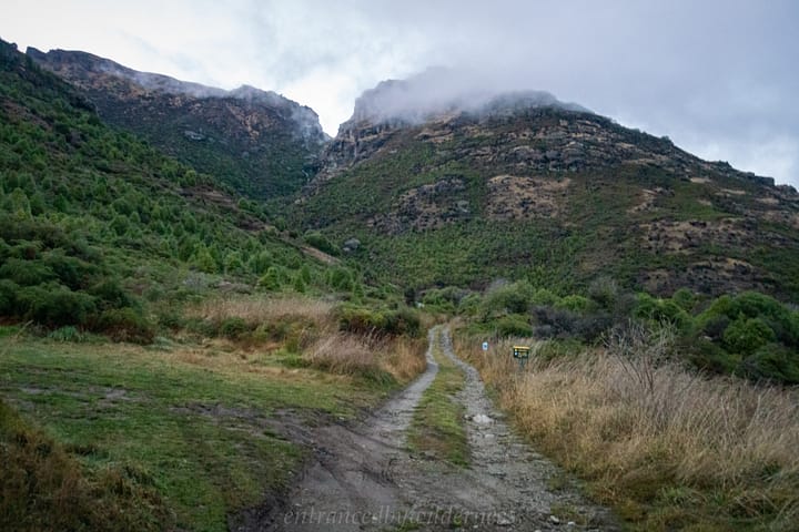
South of Queenstown, off Kingston Rd. Head past Jacks Point and before the confluence of Wye Creek, full off to the side to a gated dirt road (public access). Drive up the dirt road to a clearing where the trail begins.
Difficulty:
This route features mostly un-marked off-trail hiking in the backcountry. It is an Advanced level hike, and should only be done with at least one person who knows how to navigate well.
Camping:
There are no huts on this route. Camping can be done anywhere in the upper South Wye Branch valley (above 1100m), or at Lake Hope.
Time:
This trip is at least an overnight in length, and is too risky to attempt in one day due to the elevation gain, and rough terrain.
My Trip
19/07/2021 – 20/07/2021
Day 1 – Wye Creek Carpark to Lake Hope
Arriving early in the morning at Wye Creek carpark, i set off along the windy uphill Wye Creek Track. This was the first time I’ve actually climbed the track, as the last time I was here I descended it from a trip starting from The Remarkables Ski Field back in 2019.
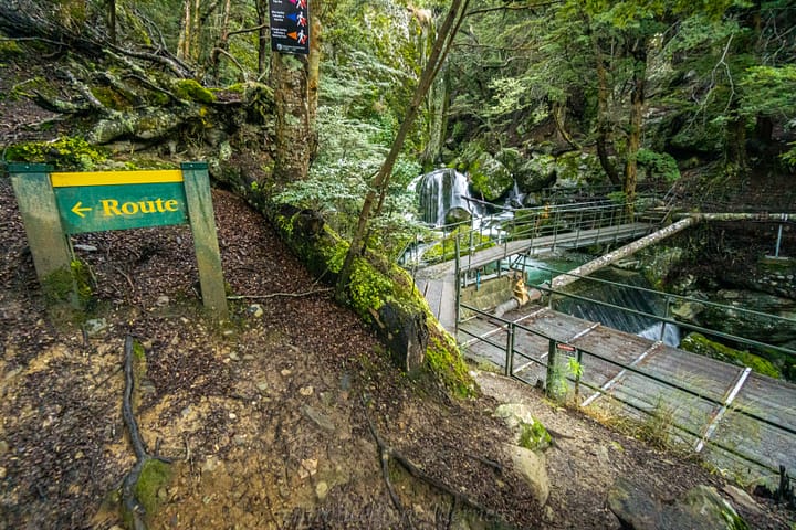
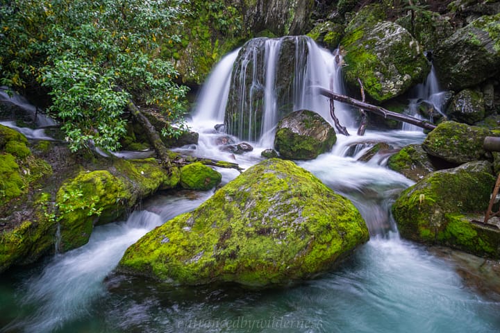
Within a short time of following the track, I reached the small cascade and intake for the power station (what feeds the pipelines along the track).
The Climbing Wall Section
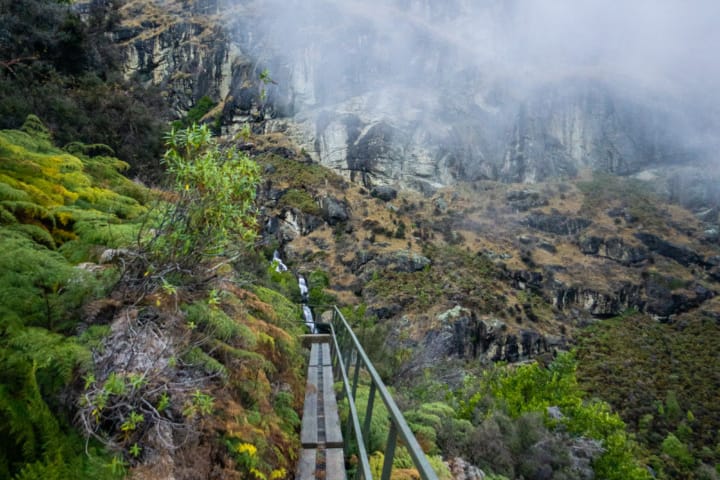
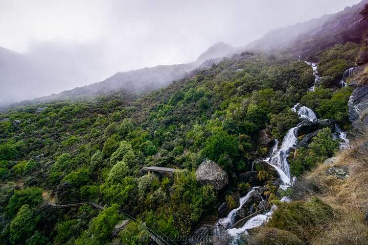
Instead of continuing up the trail into the Wye Creek valley, I followed the boardwalk towards the climbing wall near the base of the Wye Creek South Branch valley. To get on the boardwalk, gross the grated bridge past the cascade and follow a track to the right side through the forest.
This walk is super cool, and if you are just doing a day trip, is far more worthwhile than continuing uphill into the Wye Creek Valley. This track is not marked on topo maps, but is very well established and easy to follow (I mean… if you didn’t follow it you would literally fall off a boardwalk haha!).
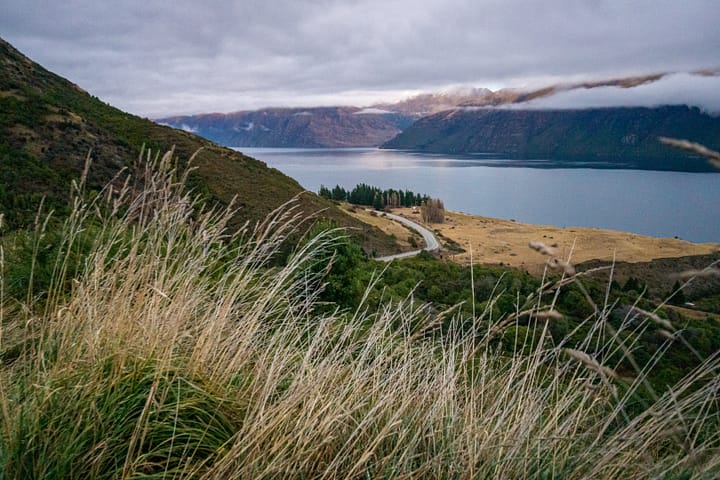
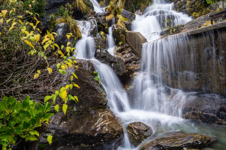
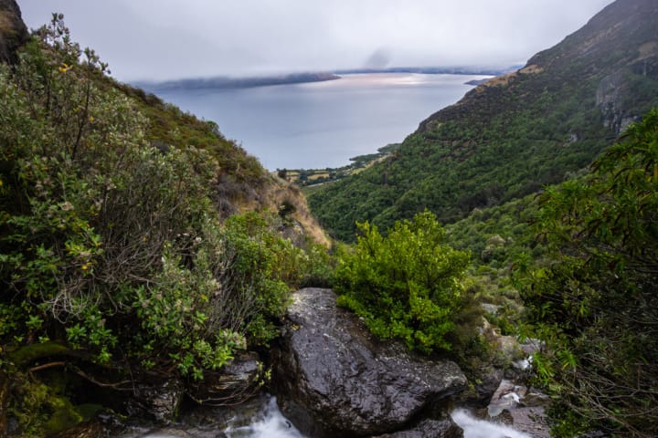
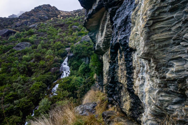
At the end of this trail there is the climbing wall, along with a couple of waterfalls – definitely worth a look! There is also a large viewing platform for a lunch break overlooking Lake Wakatipu.
Finding the Hidden Trail
I knew of a trail heading further up into the Wye Creek South Branch valley, but I had no idea where it started (important, as the lower sections are dense scrub). I tried various ways around the waterfalls and viewing platform, but to no success.
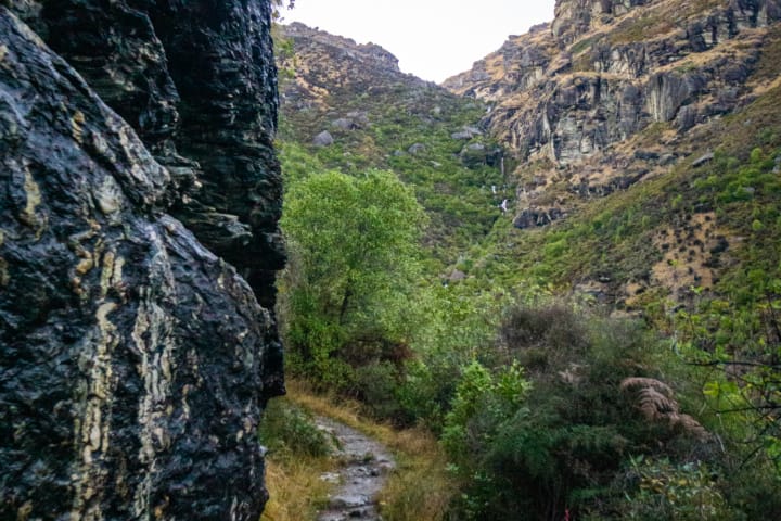
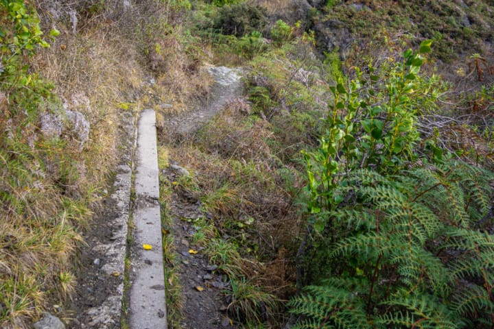
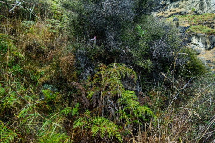
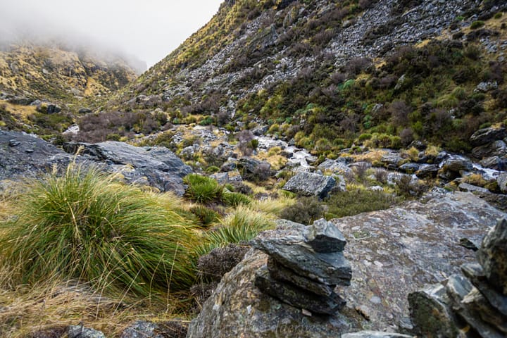
Then, I backtracked along the trail back to the boardwalk section, and just before I got back to it, near a concreted strip (see photo), I noticed an opening in the scrub – this was the trail. I use the term trail loosely, it’s very rough and hard to follow at times. There are the odd cairns, but are infrequent. I made my way up towards the large protruding rocky cliff section, which is where cairns appeared to take me.
The Speargrass Way
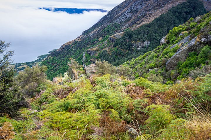
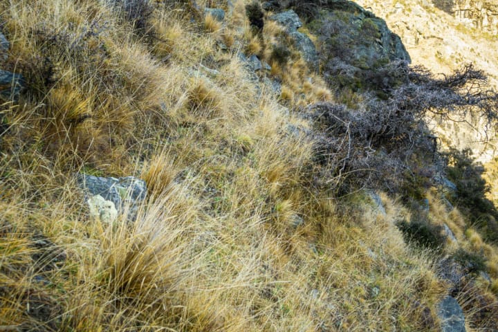
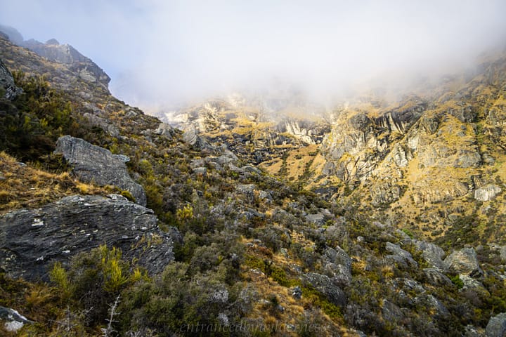
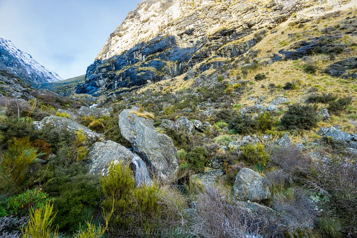
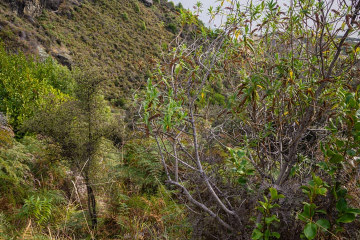
After I made it up to the rocks, I lost the cairn trail. It appeared easy enough to head down into the Wye Creek South Branch at this elevation, and I started to make my way down. It looked like I needed to cross the creek to river left for easier terrain, but I had a huge obstacle in front of me – a shitload of speargrass, and other annoying dense shrubs!
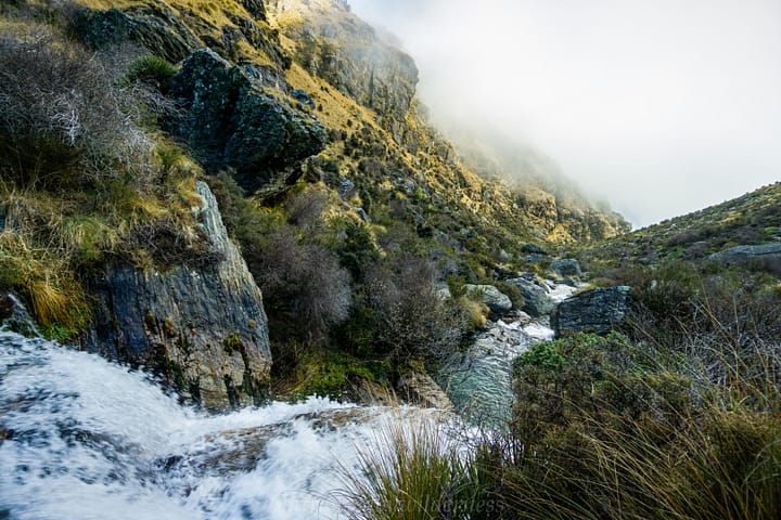
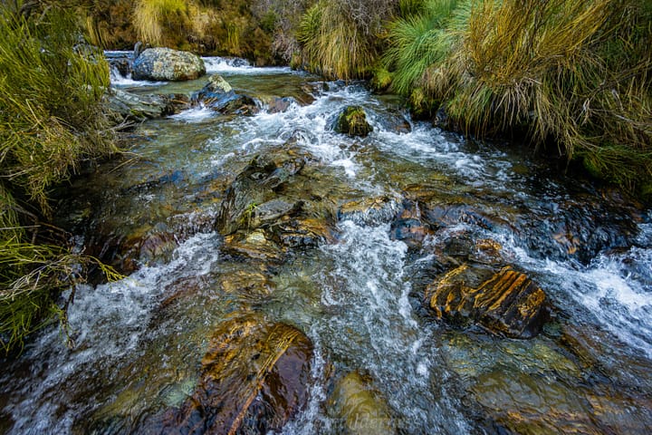
“Well shit”, I told myself as I meandered through the swathes of spikes jabbing into me. When I reached the creek, I found the locations unsuitable to cross (the opposite bank being hard to get up on to, not so much the depth).
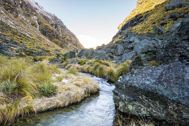
However, as I headed further upstream around 1000m elevation, it flattened out, and it was easier to cross. Looking back in hindsight, I’d have stuck higher to the river right side and crossed the rocky slip section before getting near the creek.
I found some cairns again (not that they were needed any more), and the route became significantly easier once out of the vegetation and in flatter terrain.
The Alpine Adventure Begins
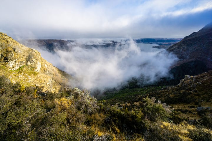
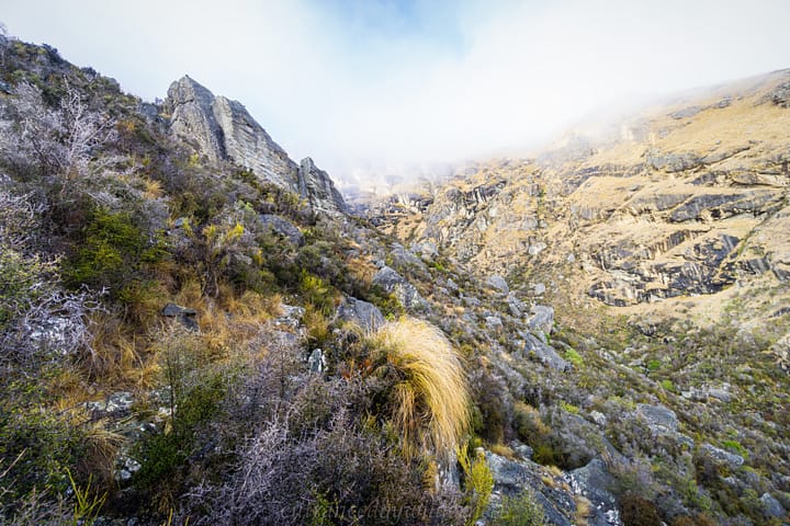
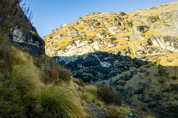
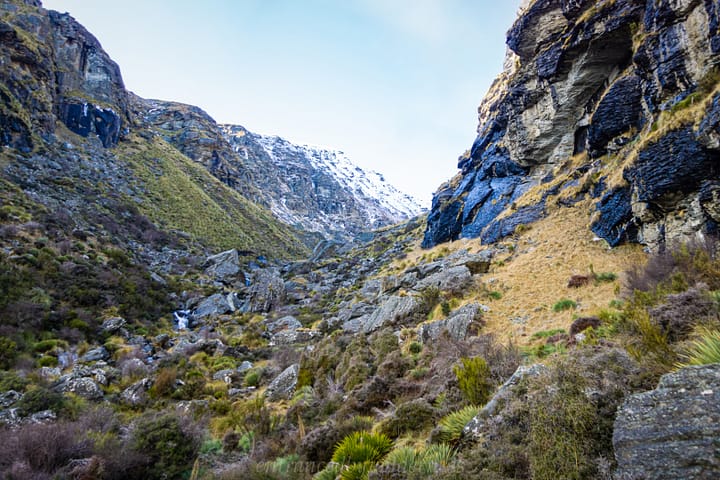
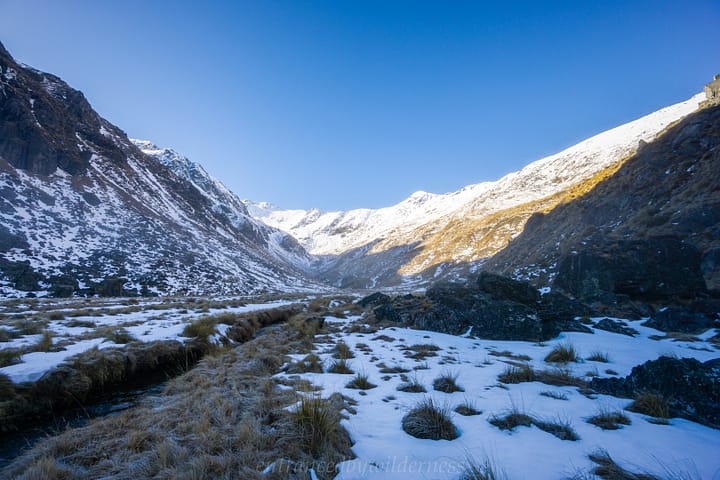
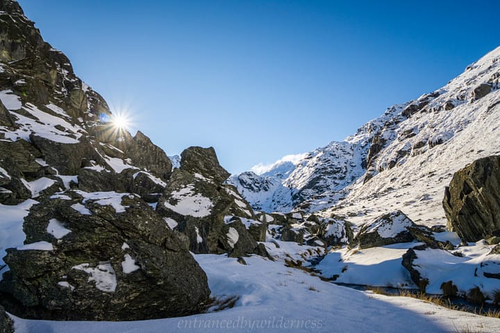
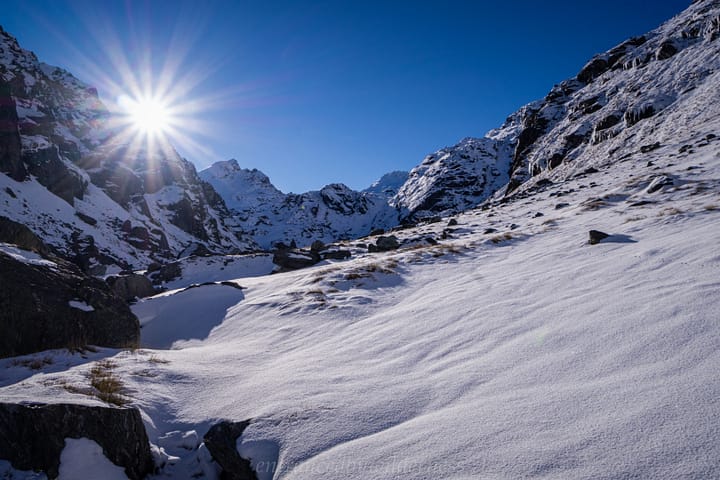
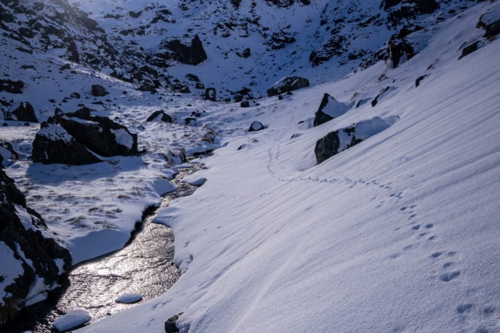
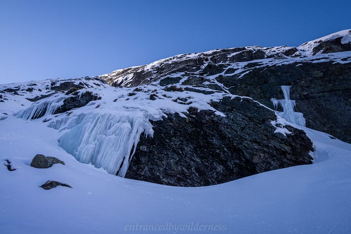
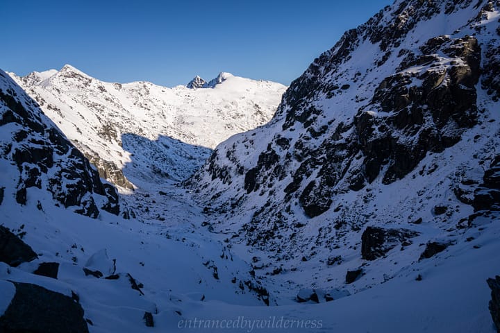
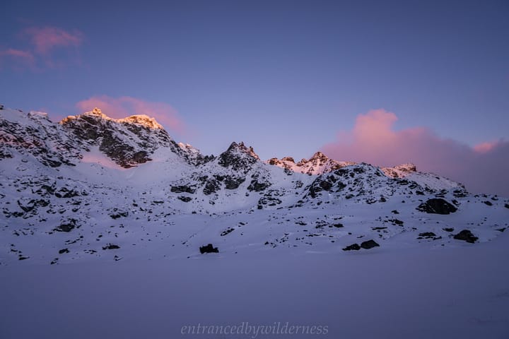
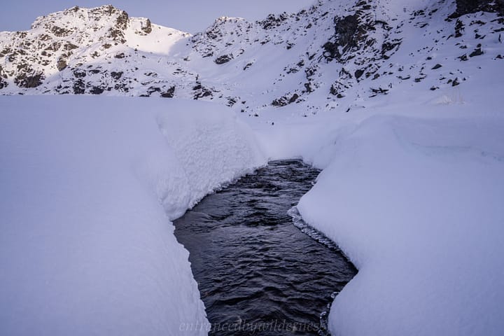
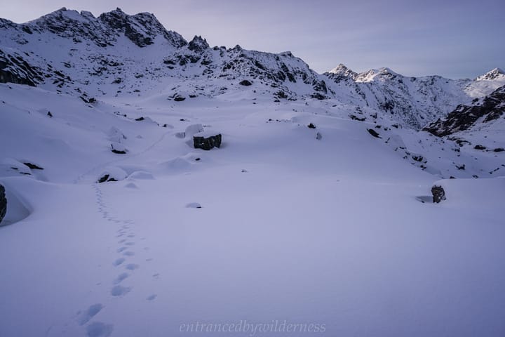
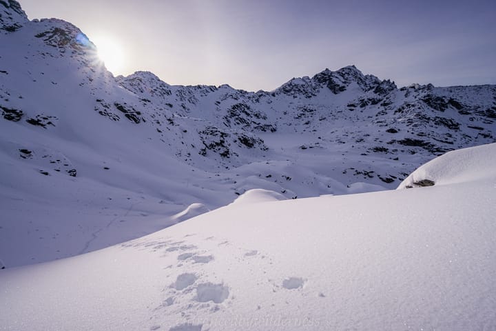
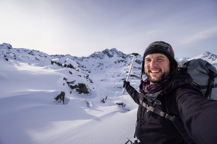
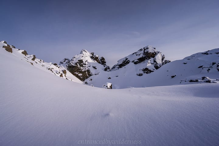
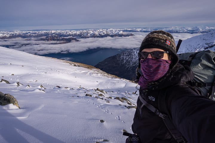
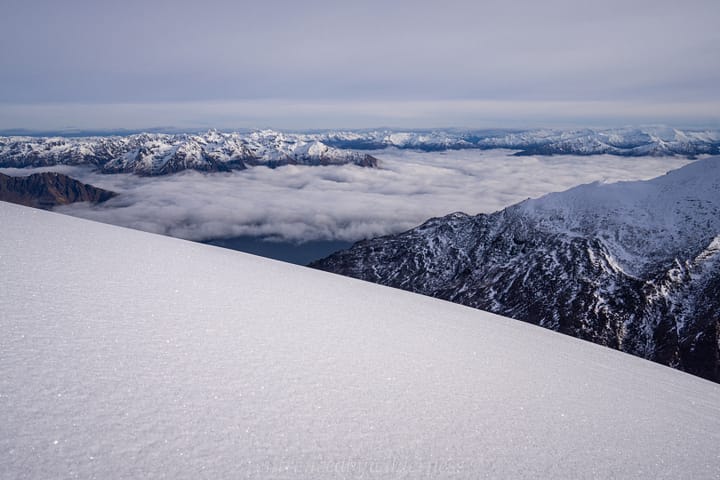
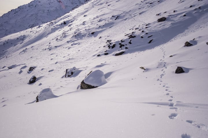
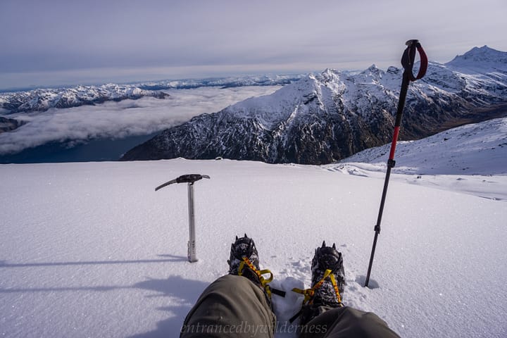
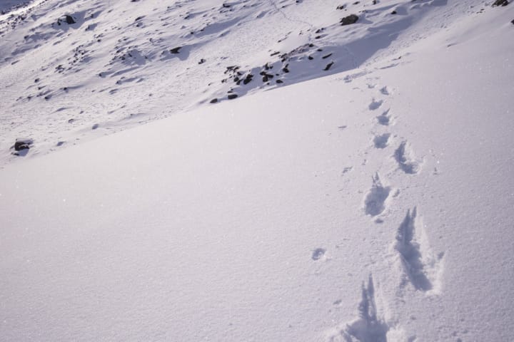
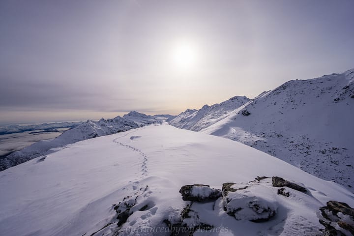
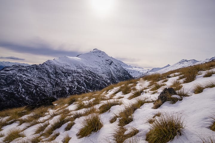
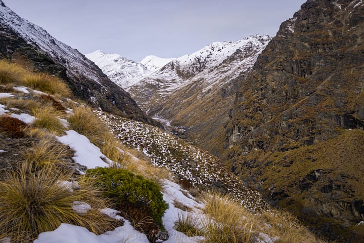
Snow and ice began to appear the further I got into the valley, and the sights became more dramatic and awesome.
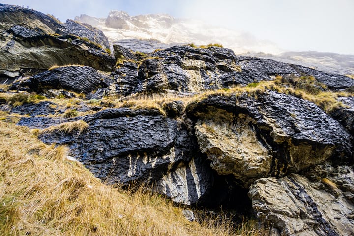
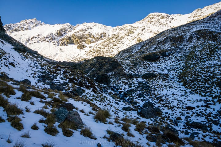
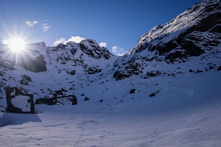
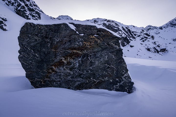
At the head of the valley, I had two choices to get up to Lake Hope. I ended up taking the more direct and steep route. There was cool frozen ice rime along the rocks in this section.
Lake Hope
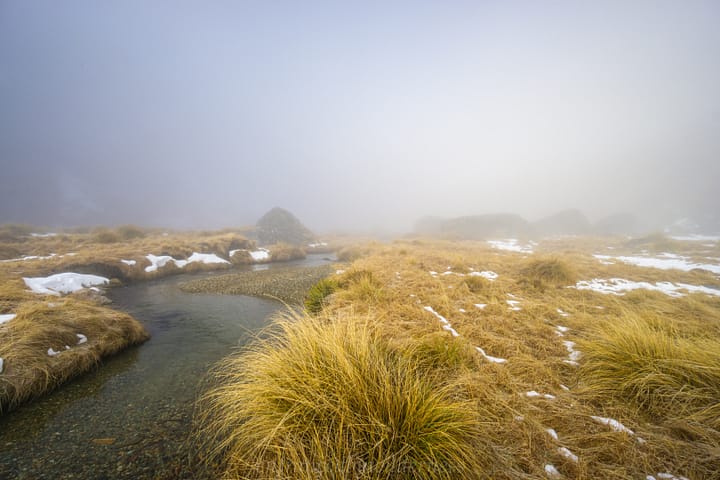
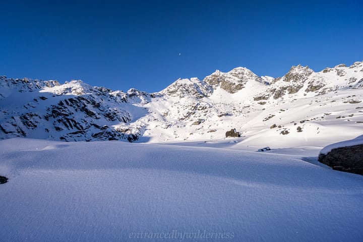
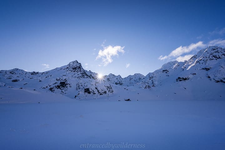
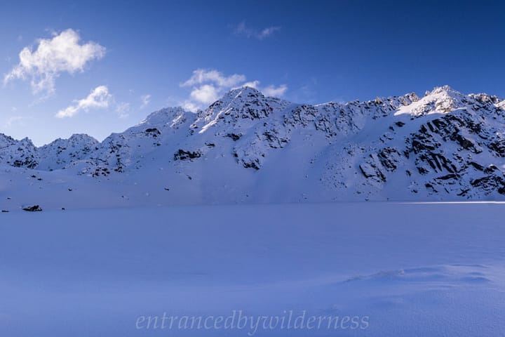
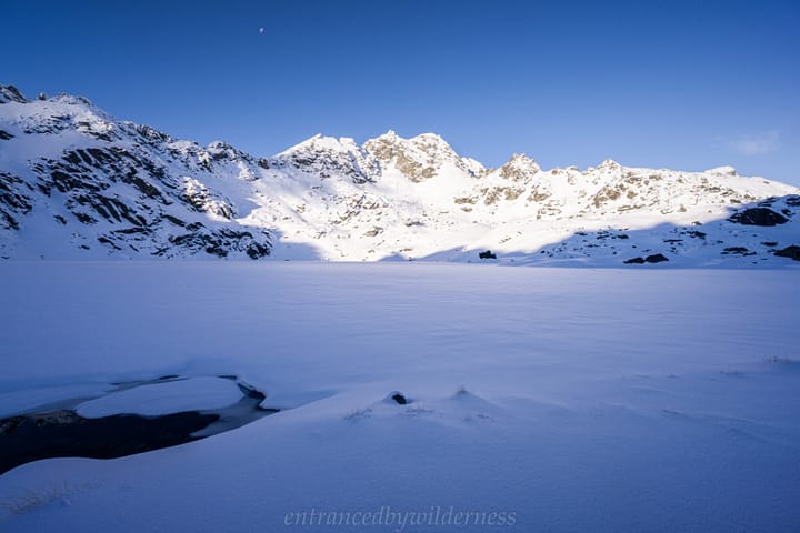
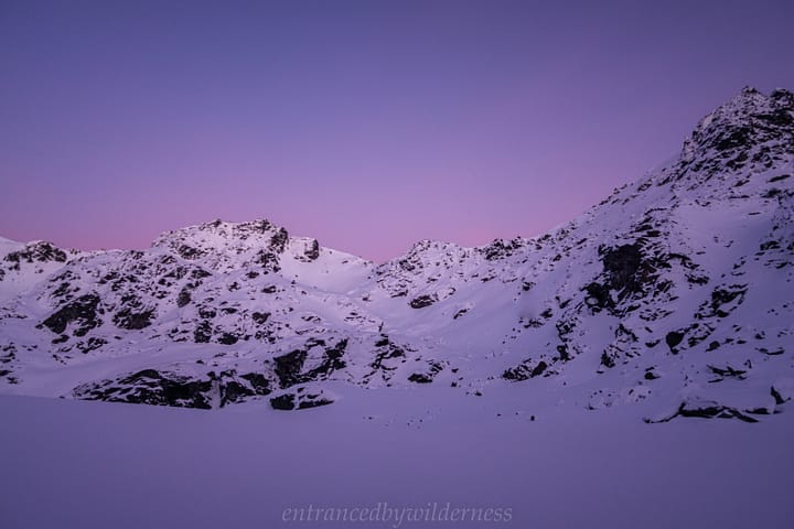
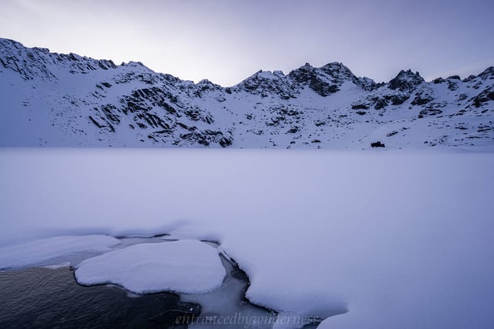
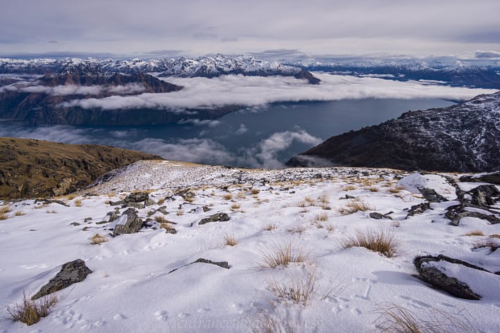
Finally, Lake Hope! The flat icy frozen expanse was beautiful. It truly made me feel alone and desolate – which was perfect!
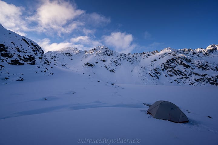
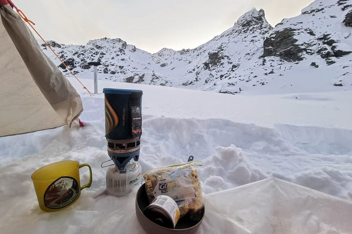
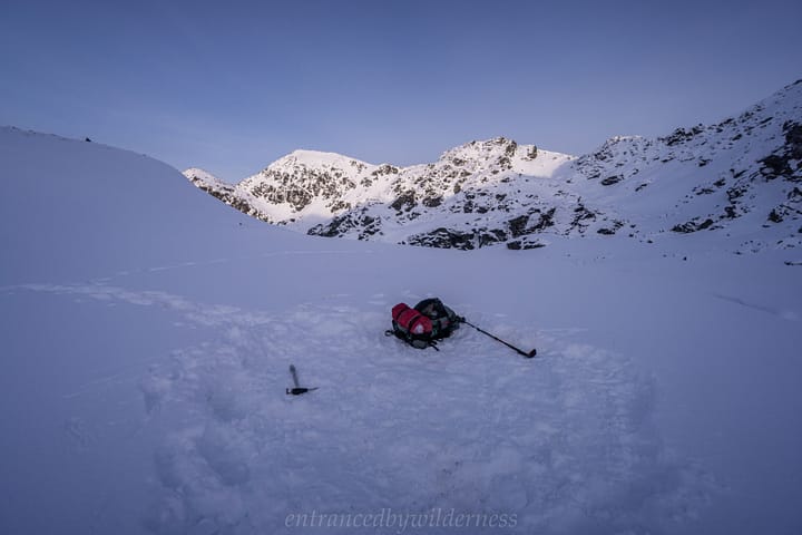
I walked across part of the lake to reach the lake outlet (water has to escape from somewhere!). I decided to camp here to save melting snow for water. Camping on the frozen lake was tempting, but I passed!
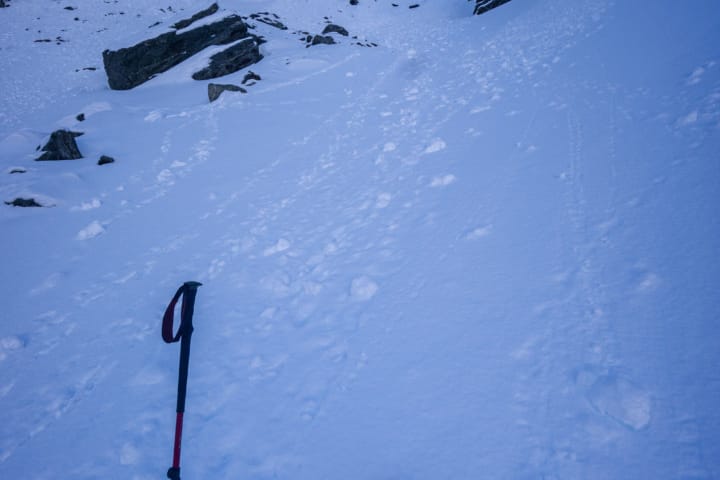
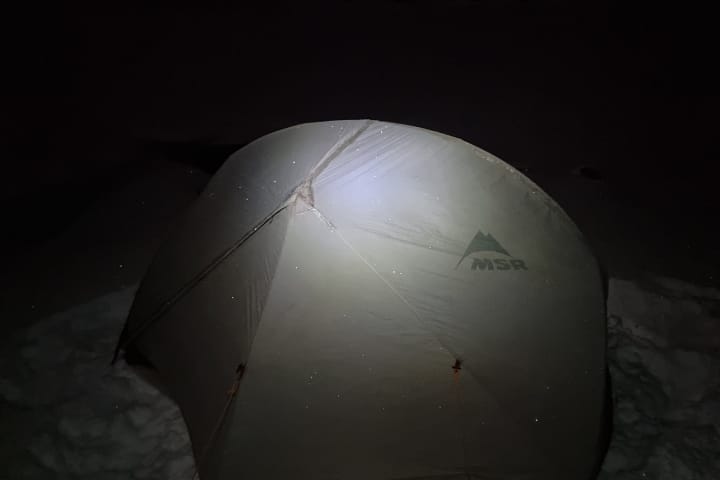
Before setting up my tent, I needed to compress and flatten out snow. This area was tussock covered, so this task is never easy. Eventually I was satisfied and put the tent up.
Because I had stopped hiking, the cold was definitely having an impact on my toes and fingers, as I felt them become cold and harder to move. It was time to change into warm clothes and gloves!
Day 2 – Lake Hope to Wye Creek Carpark
The Ridgeline
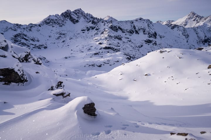
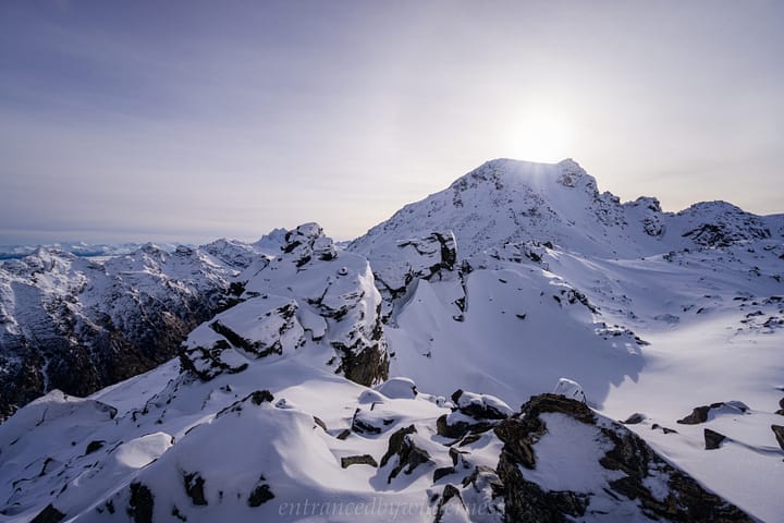
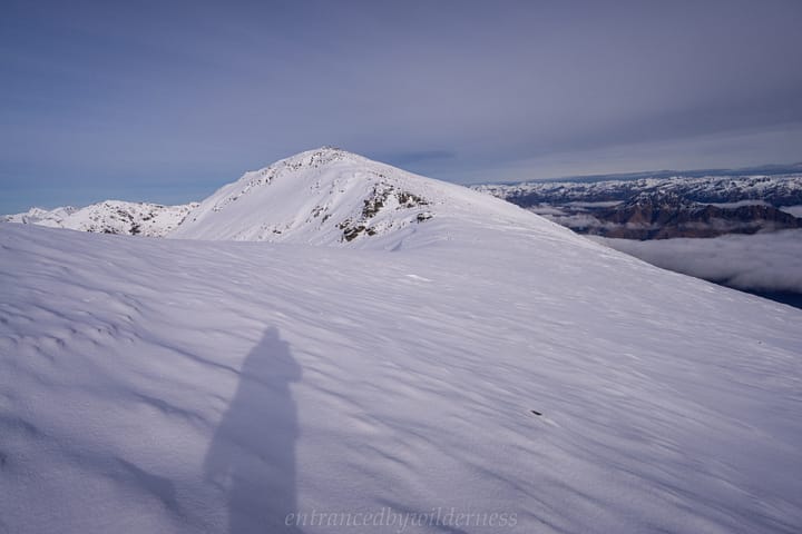
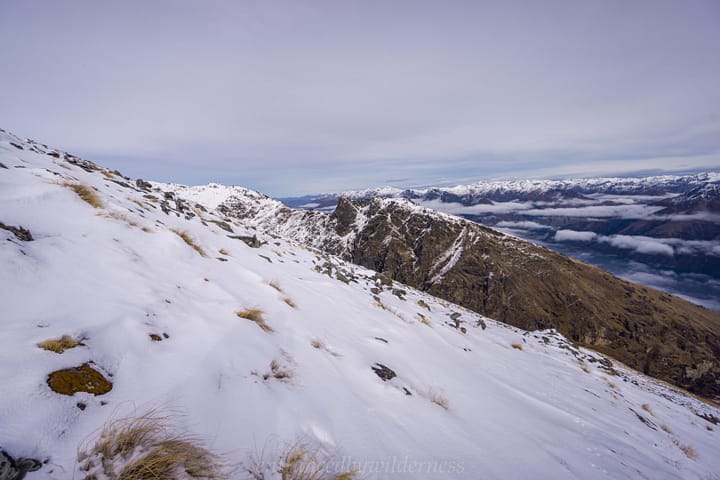
Setting off, I made my way up towards the saddle south of Peak 2090m, to begin the ridge traverse back down to the carpark. I considered climbing up to Peak 2103m, but was content to just sidle past it towards Peak 1916m.
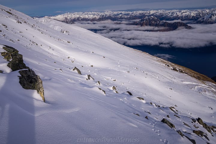
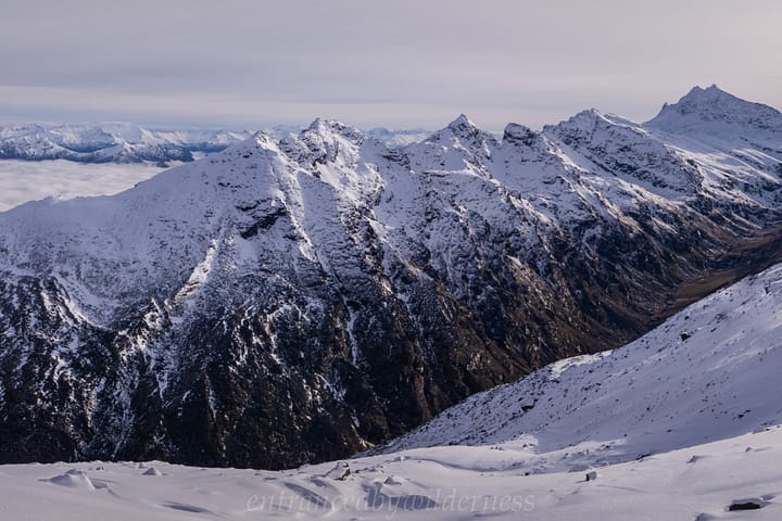
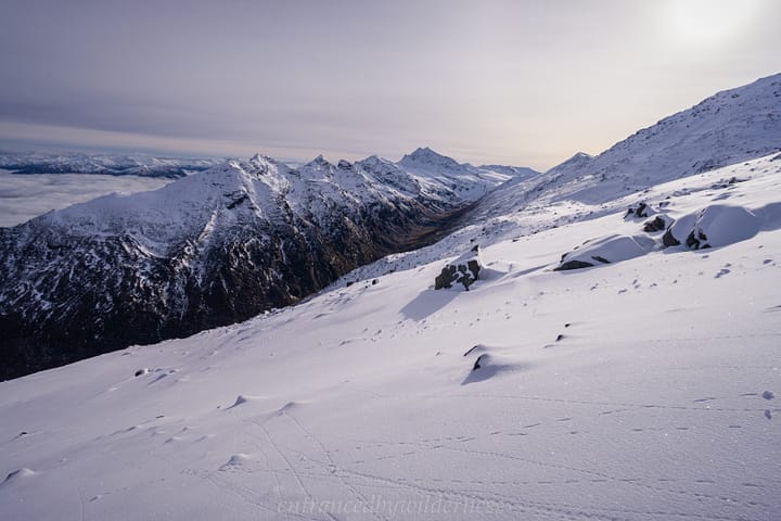
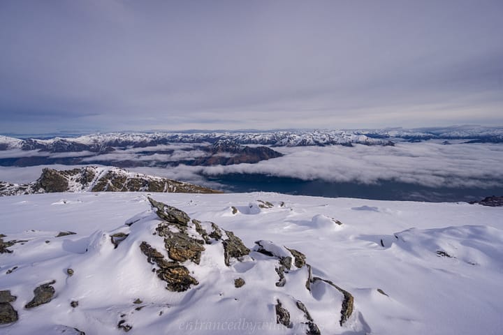
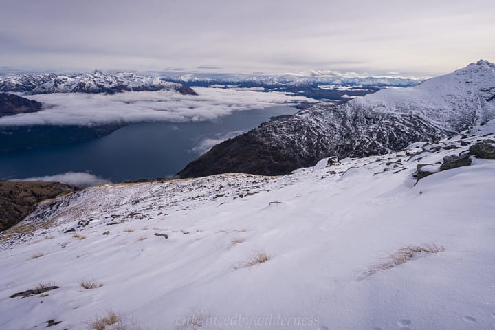
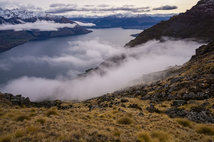
The sidle offered some pretty awesome views up the Wye Creek valley towards Double Cone, and out beyond Lake Wakatipu and Cecil Peak.
The route became easier near Peak 1916m. It was nice to scout out potential routes on the southern side of Wye Creek South Branch from behind the climbing wall.
The Final Descent
After several hundred metres of descent, the snow gave way to tussock, and I was heading back down to near where I diverged to head into the valley. However, I made the mistake of heading too far north at around 1000m elevation, where the way down appears to split on either side of a spur. The northern side is far denser in vegetation however, and you can see on the map above where I shot back south over the spur to rejoin my route up. Definitely stick to the rough track here!
I did find the main cairn, which although is highly visible, is not exactly where the path goes. If descending, the track veers off to the left before it.
Within no time at all, I was back on the main path and making my way back to the car park!
Your Donation Really Helps!
In order to support the travelling and hiking community, I spend many hours per week or month to adequately document all information and advice for prospective visitors, accompanied by a (hopefully) entertaining insight into my personal experiences. This service is, and will remain, free. However, running a non-profit website and spending time creating content comes with financial and personal costs.
Did you like this article? Share it now:
- Click to share on Twitter (Opens in new window)
- Click to share on Facebook (Opens in new window)
- Click to share on Reddit (Opens in new window)
- Click to share on Tumblr (Opens in new window)
- Click to share on Pinterest (Opens in new window)
- Click to email a link to a friend (Opens in new window)
- Click to print (Opens in new window)


Beautiful presentation Matt,’love the little waterfall and the snowy tussocks with the big peak. Looks like you’ll have to share your sleeping bag with your boots in this weather.
Cheers Eddy! It truly was beautiful in there!
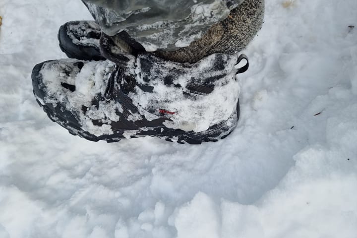
Yeah, soaking my boots in the creek crossing didn’t help with the frozen thing 😆 I might get some new boots next winter!
Looks awesome Matt! What would your thoughts be on taking a route from the North Wye Creek branch directly up to point 2090?
Most of that slope is tussock and boulders, it’s not too bluffy from memory. Looks possible from a few of those creek gullies. Definitely give it a crack I reckon!