
A Journey Over the Summit of an Active Volcano…
02/02/18 – 03/02/18
Mt Ruapehu Volcano
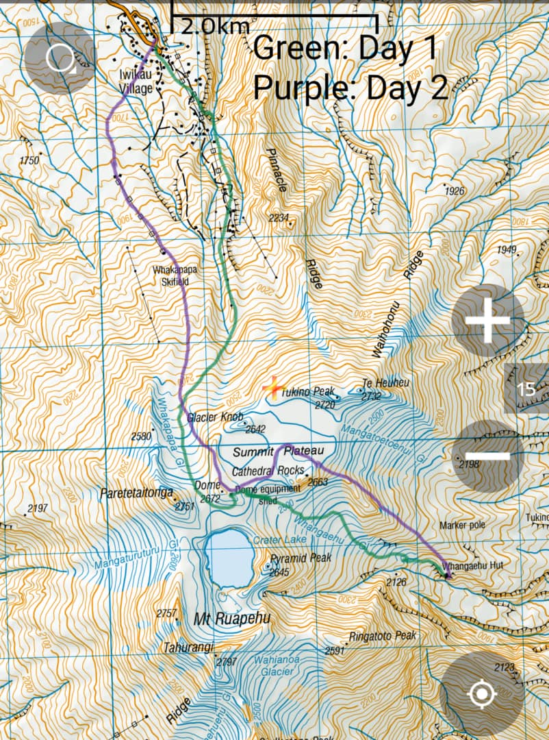
Mt Ruapehu is the largest active volcano in New Zealand, with an elevation of 2797m (9177ft). It is a stratovolcano with three main peaks (there are quite a few smaller peaks though) and a central crater lake. Mt Ruapehu hiking involves making your own route, as there is no trail.
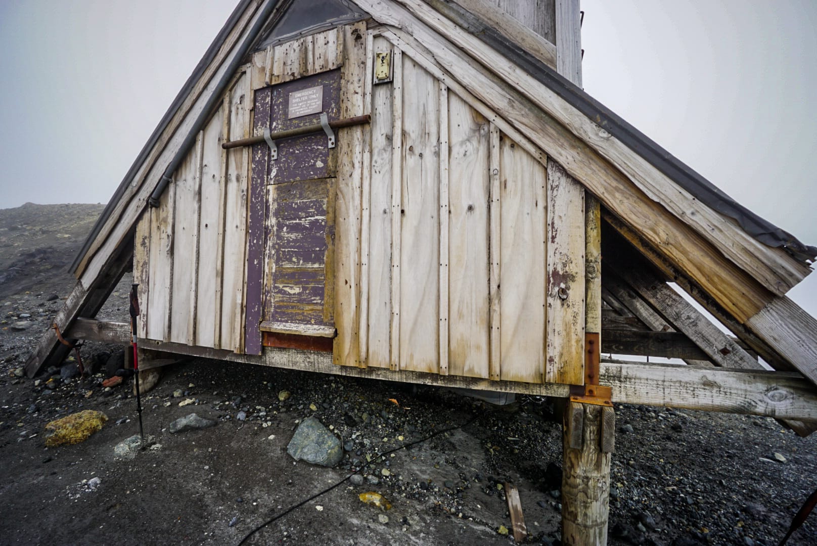
Topo maps are essential if you plan to venture too far from the visibility of the ski resorts. The weather can also turn nasty fast, and visibility can be limiting (like it was for us). There is only one alpine hut (Whangaehu Hut) you can stay overnight at on the actual mountain that is down the south-eastern side.
Day 1
With intentions to hike the Tongariro Northern Circuit great hike, I arrived at National Park village, a small town near Tongariro National Park, where famous North Island volcanoes are situated.
The weather was poor, and heavily raining over most of New Zealand, forcing me to check into a hostel there. I met a young girl from Denmark there, Carelia, who had a similar plan in regard to hiking the tallest peak on North Island on Mt Ruapehu. It wasn’t a marked trail, and far from the tourist path. We decided to do it together, staying at Whangaehu Hut, and made plans for the next day.
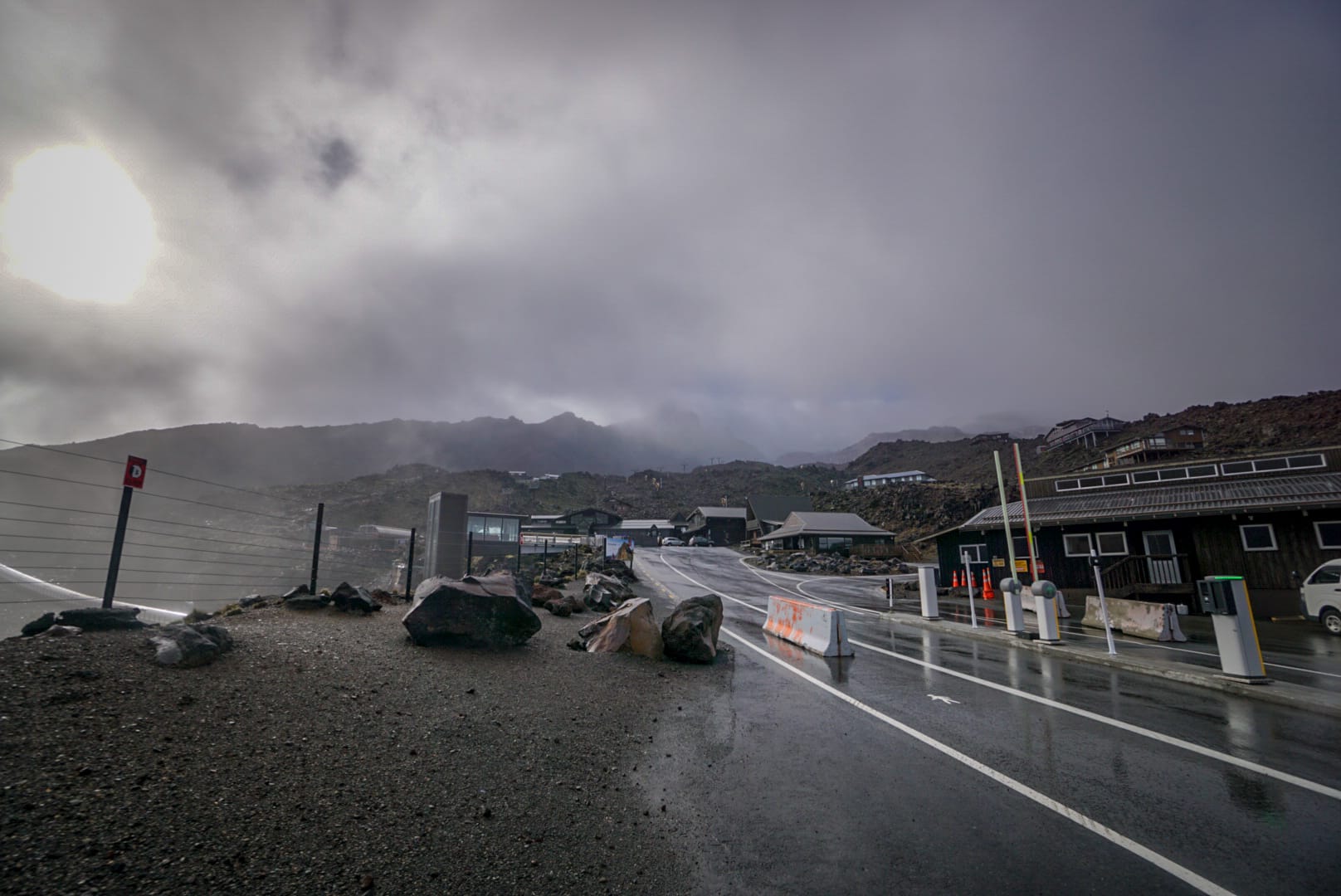
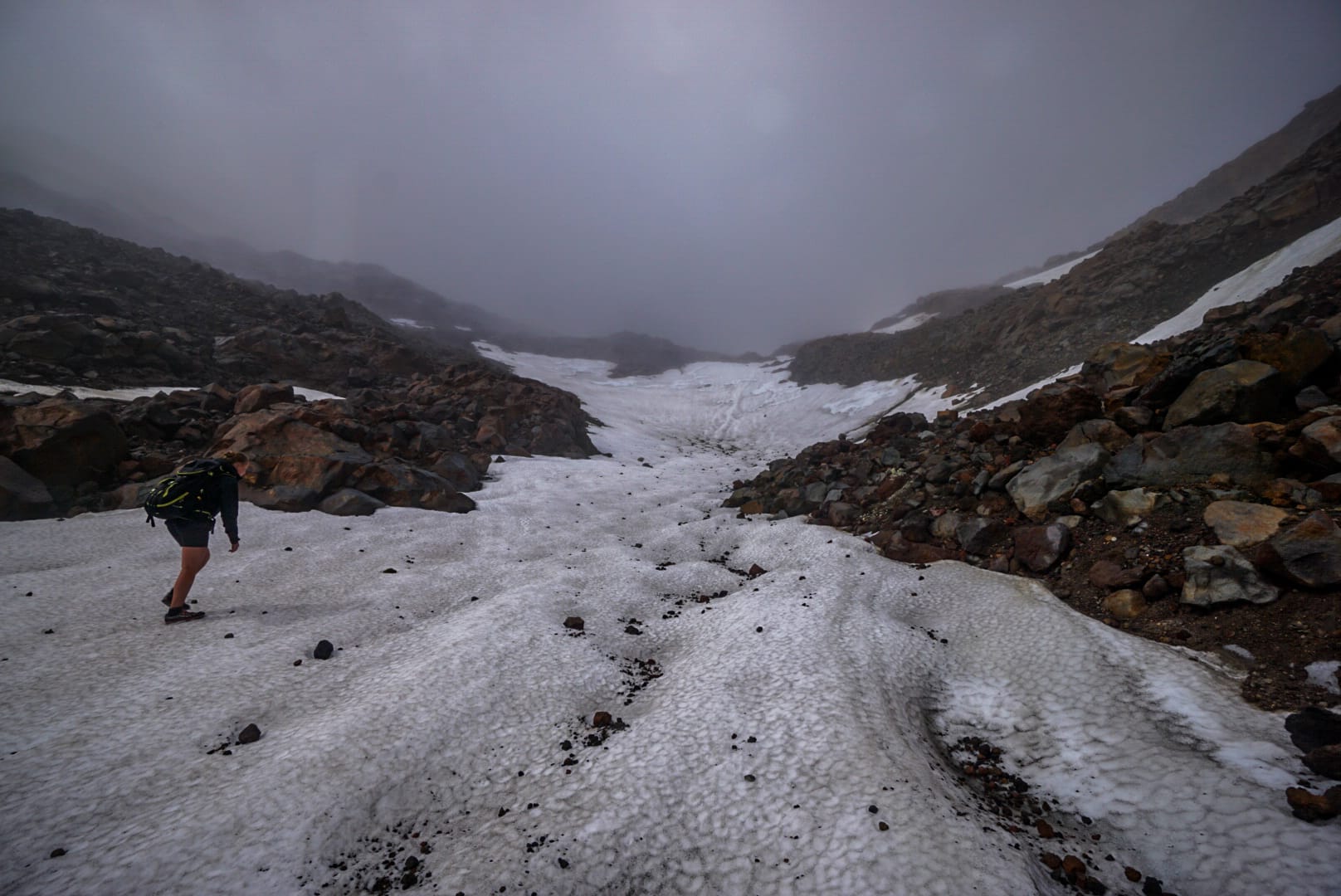
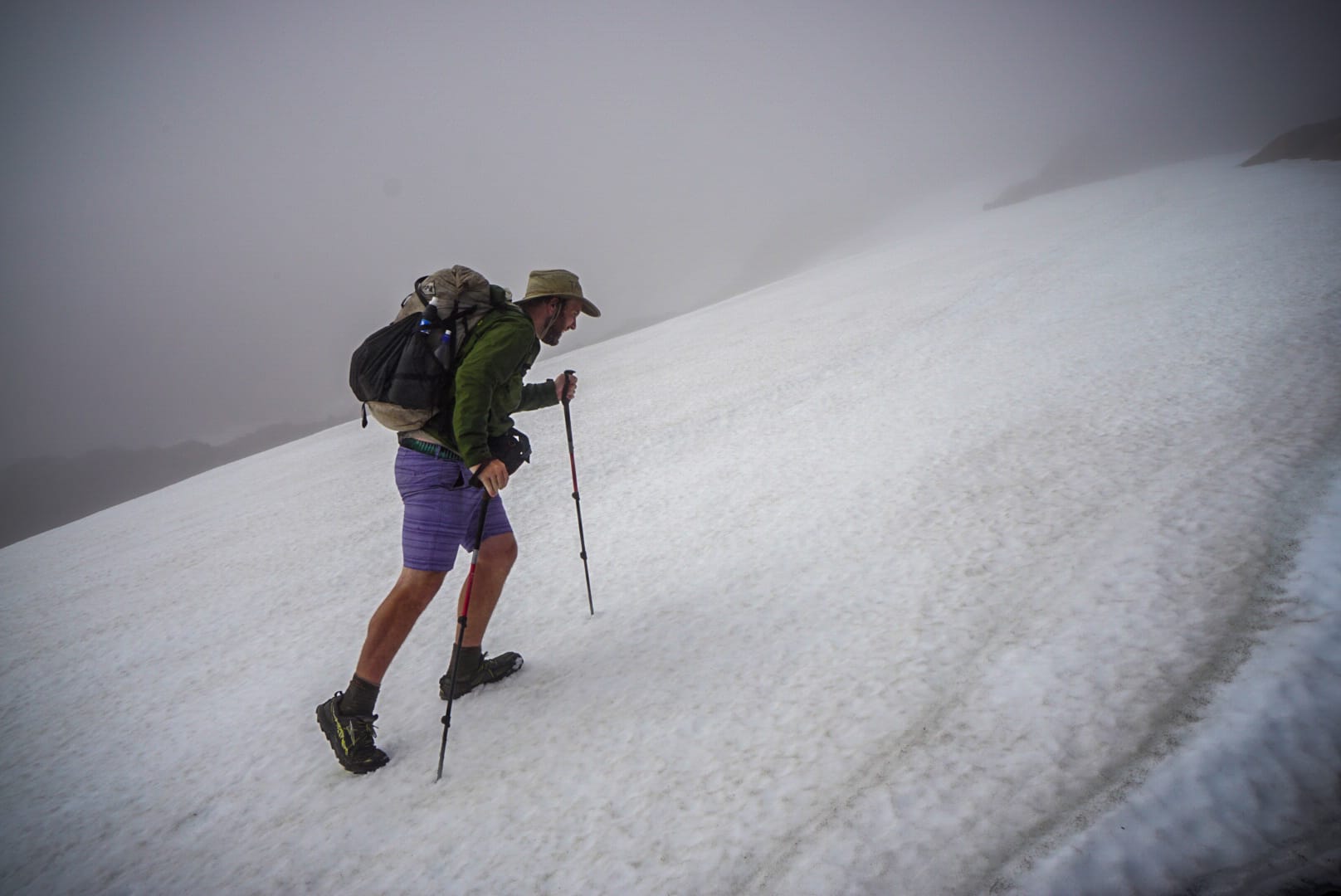
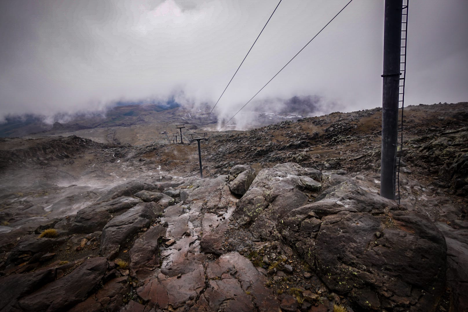
We drove my car up to Iwikau Village, what would be a ski resort in winter months and started hiking up the ski lift regions and beyond. The weather was still poor, but not heavy rain. It was mostly hiking through cloud cover and gentle mists. The problem was visibility – we could barely see the terrain in front of us, and would often rely on the GPS topo maps to help decide direction where we weren’t going to stumble into a lake or up too steep terrain.
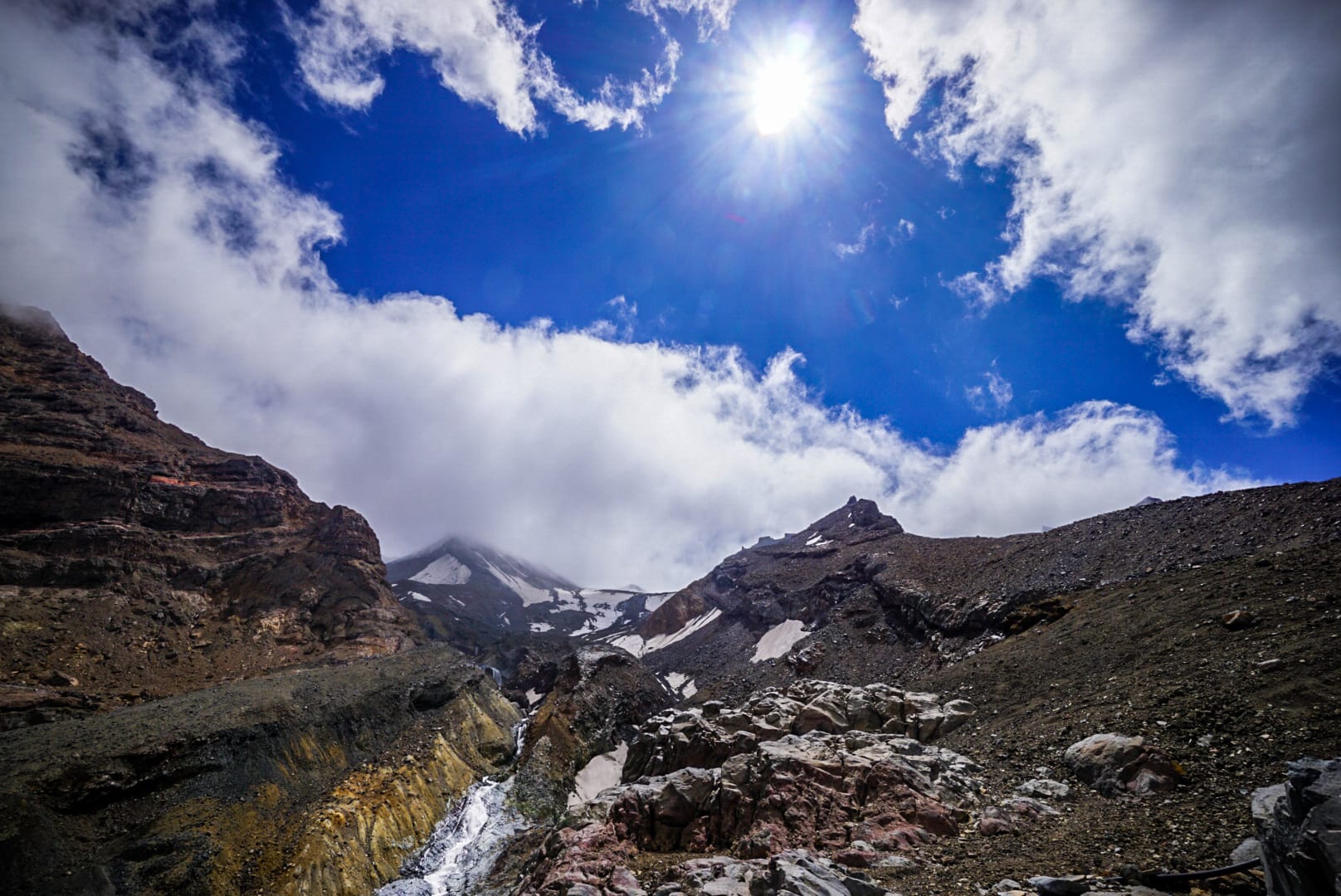
Occasionally, the clouds would part, allowing the sun and blue sky’s to open u on the visibility of the landscape in front of us, and in these moments we could pick out rough routes.
I haven’t been snow hiking really since… June 2017 – great memories
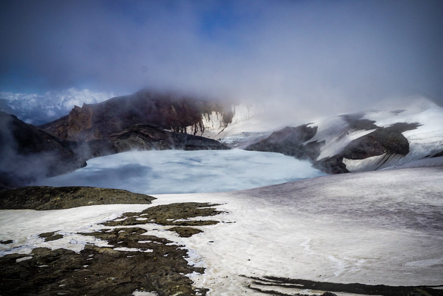
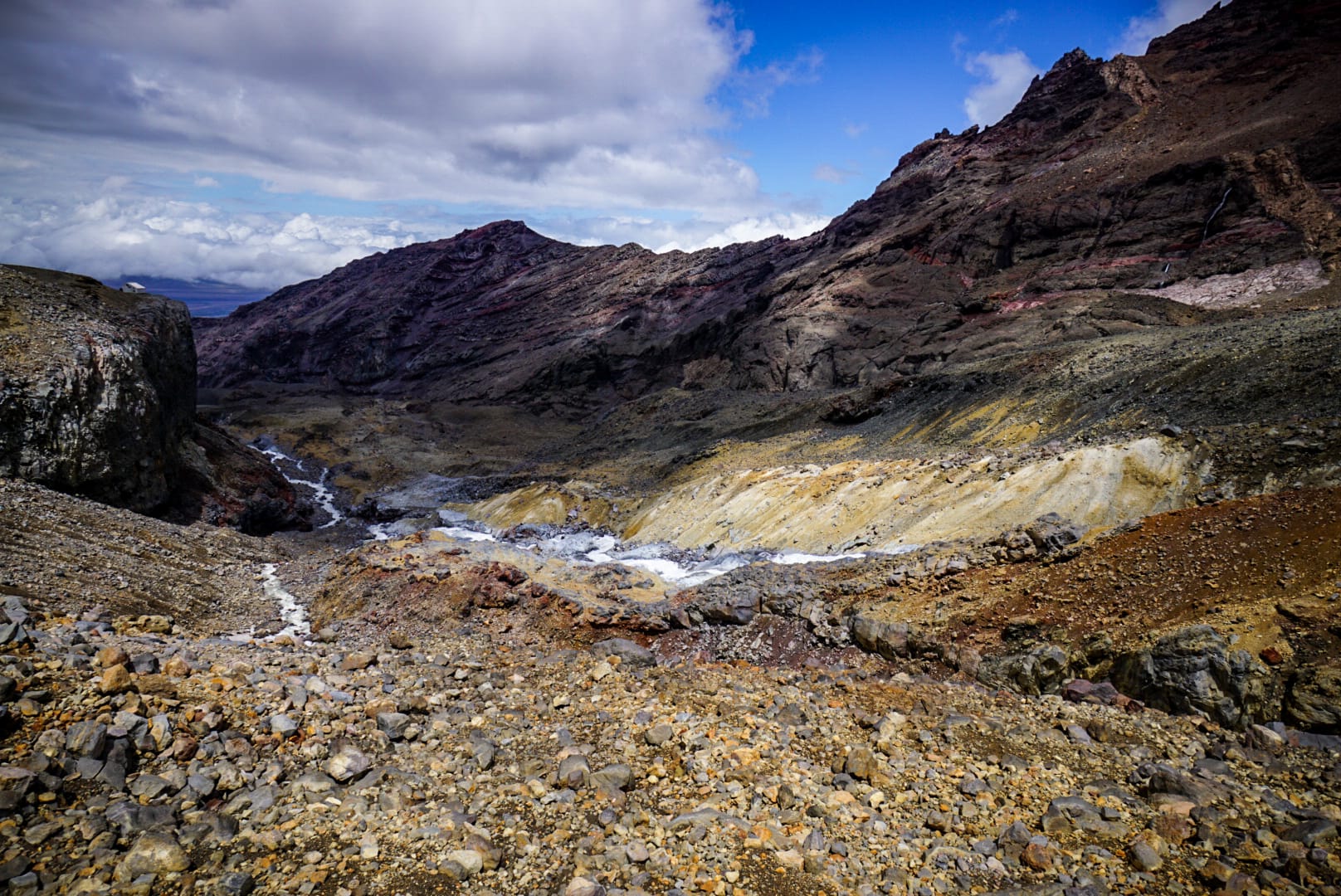
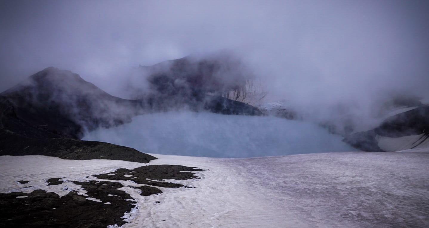
By the time we reached the Dome Shelter above crater lake (which is now just a basic emergency shelter and equipment storage) and had lunch, it started to clear up even more, and we were presented with the most epic views of the lake and surrounded peaks.
One it cleared, we could see Crater Lake, Summit Plateau and most of the peaks of the volcano.
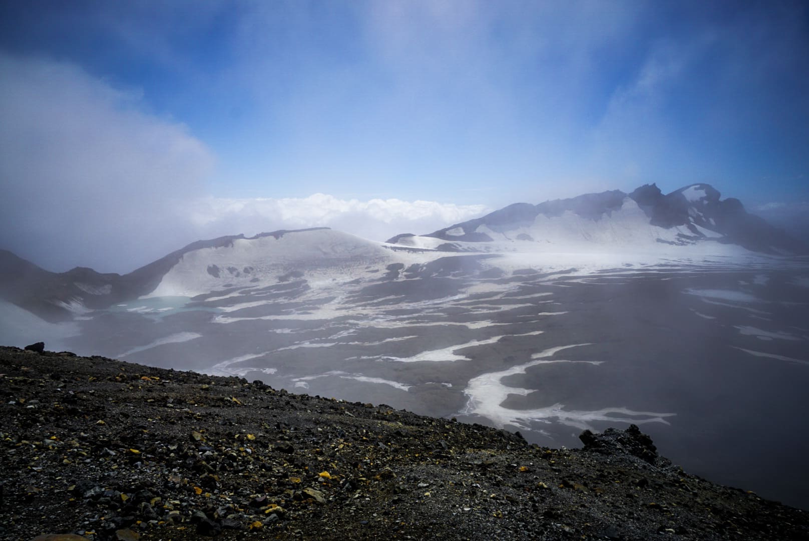
Crater Lake
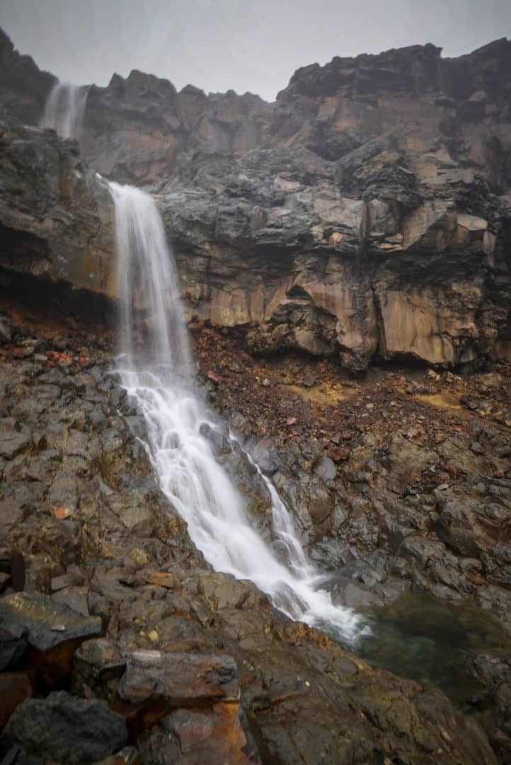
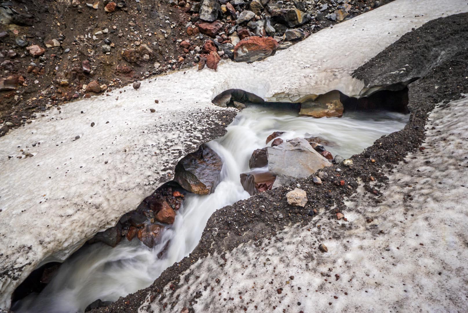
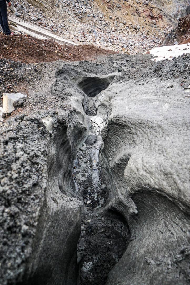
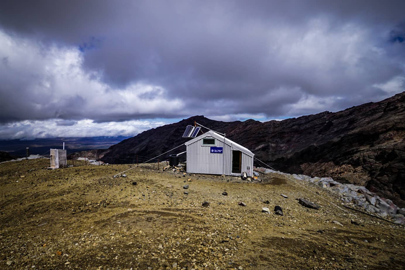
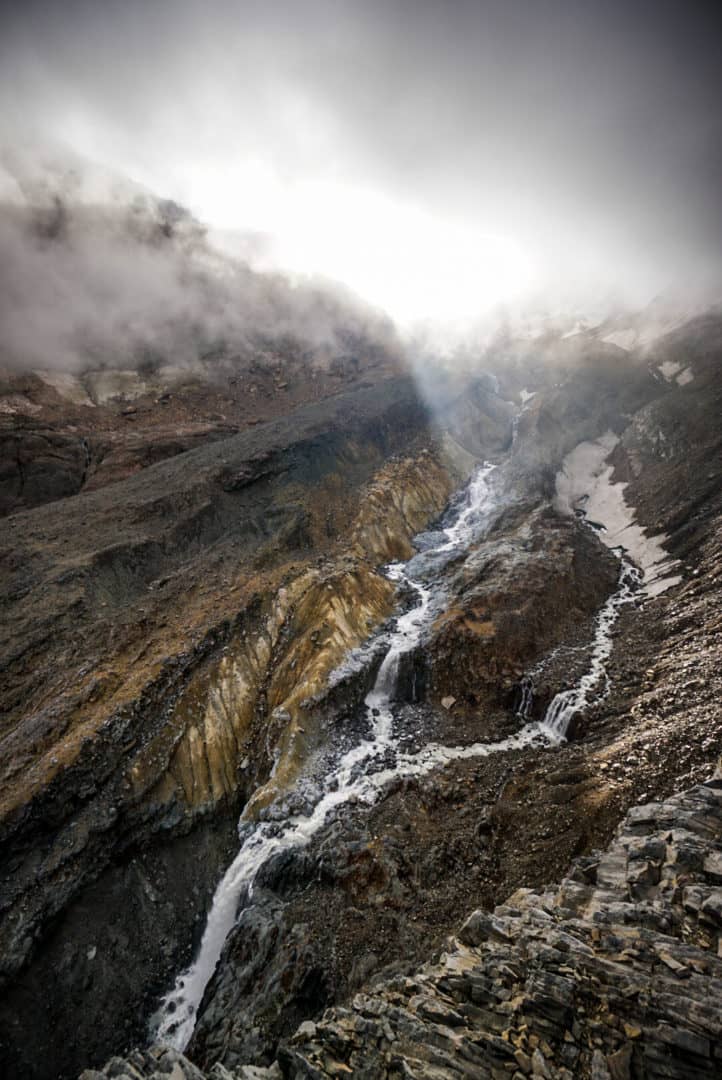
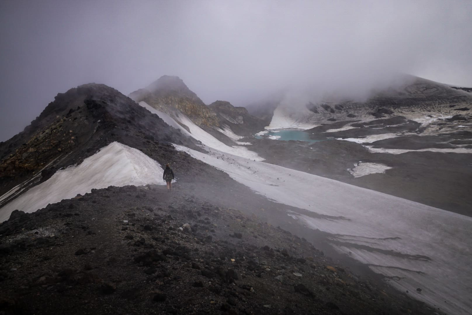
The goal was to reach Whangaehu Hut, an alpine hut on the other side of the mountain that was originally built by Edmund Hillary in the 1930’s, but has since been renovated in 2014 by an ancestor. To get there meant traversing small glaciers, mud flow lahars and very loose rocks. It was no walk in the park!
It turns out the snowy glacier parts were easy, as we could show ski down them with ease, but the mud flows and loose rocks were much tougher. The Dome Shelter was at 2650m elevation, whereas Whangaehu Hut was much lower down the south-eastern side at around 2100m.
Once arriving at the Hut, you could see why it was built there on the edge of a cliff above all mighty flowing glacial melt river – it was spectacular. Edmund Hillary chose a great spot for a hut!
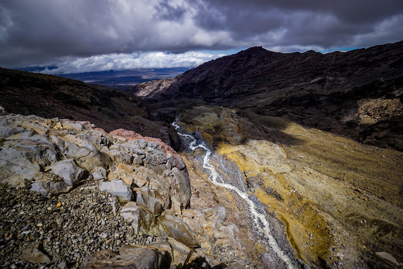
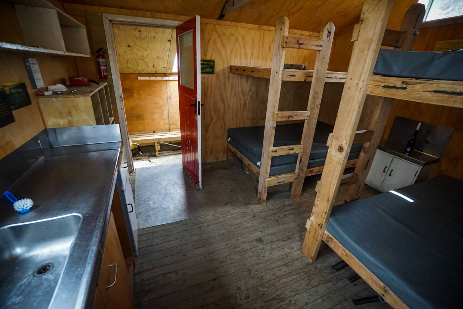
Whangaehu Hut
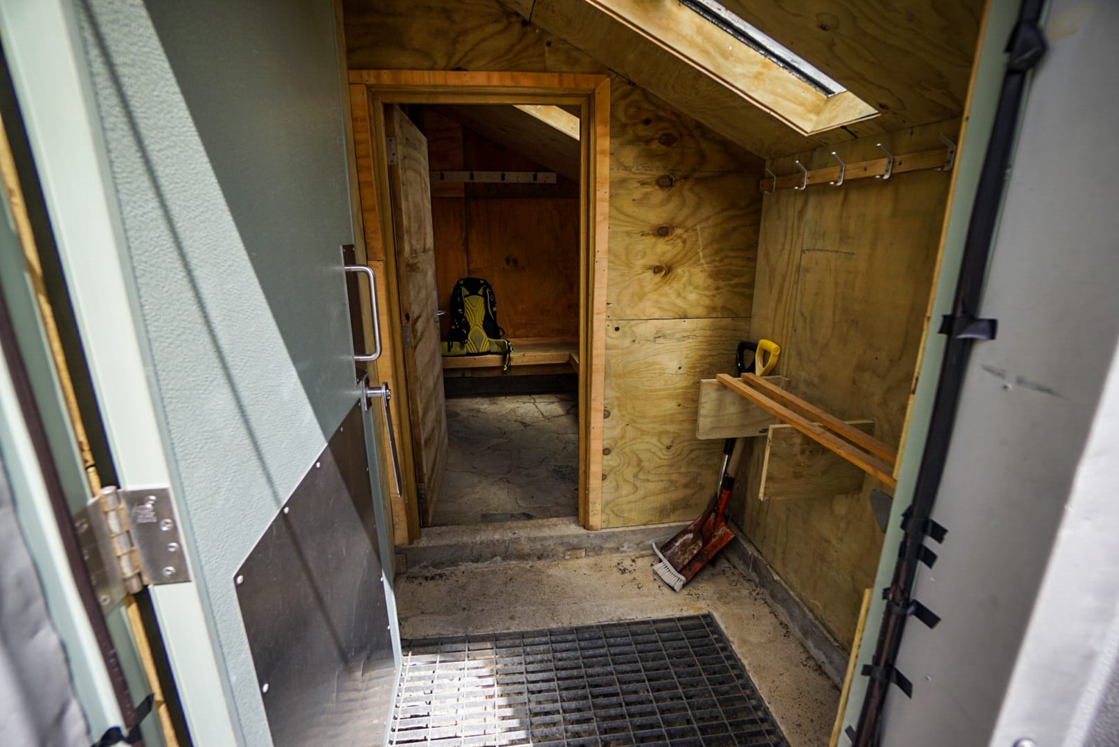
This was the first time I’d stayed in a non-DOC (Department of Conservation) hut. The Alpine Ski club hut was newly renovated and very comfortable. It was at an elevation of 2080m with the river below the 70-80m vertical cliff face drop.
The views for the remaining afternoon changed up as the clouds returned and offered dramatic views.
Day 2
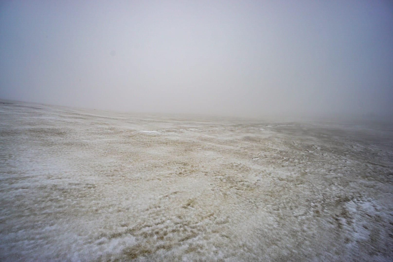
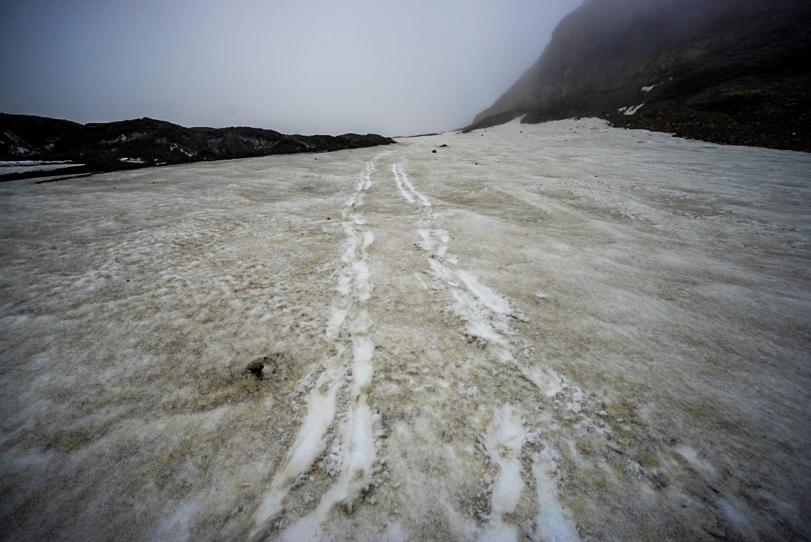
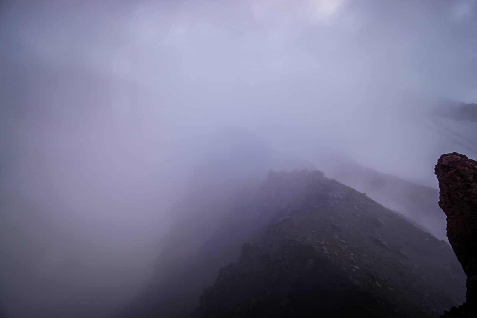
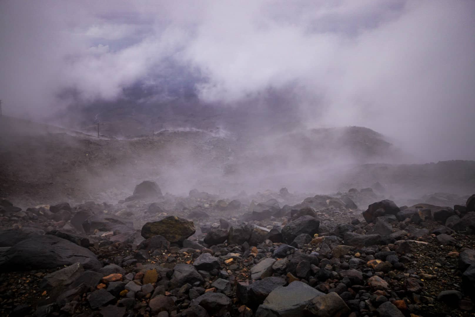
An early leave was fairly pointless, the clouds surrounded the hut, and visibility was poor. Sleeping in another hour didn’t help in changing the conditions. We set off after breakfast, knowing via topo map only where we were going, as we couldn’t see more than 20-30m ahead.
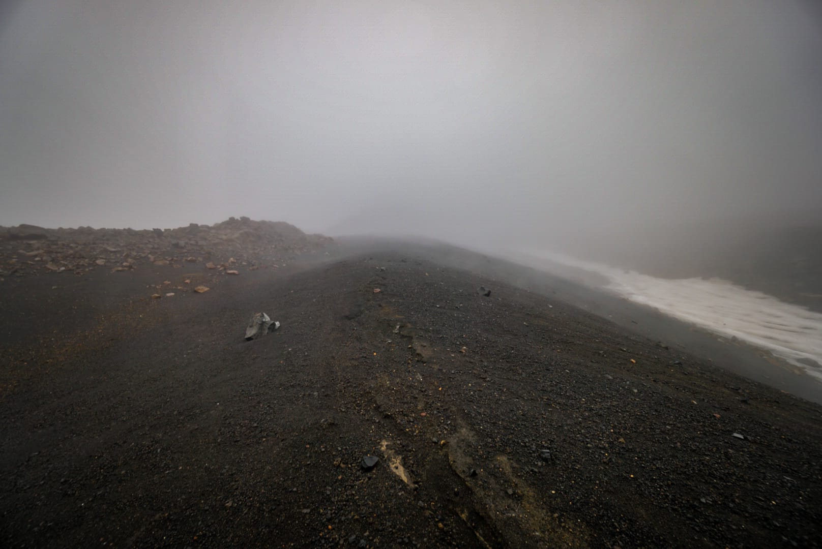
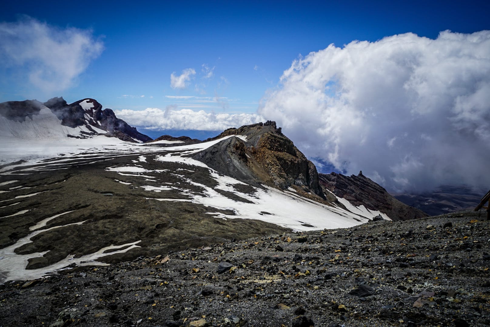
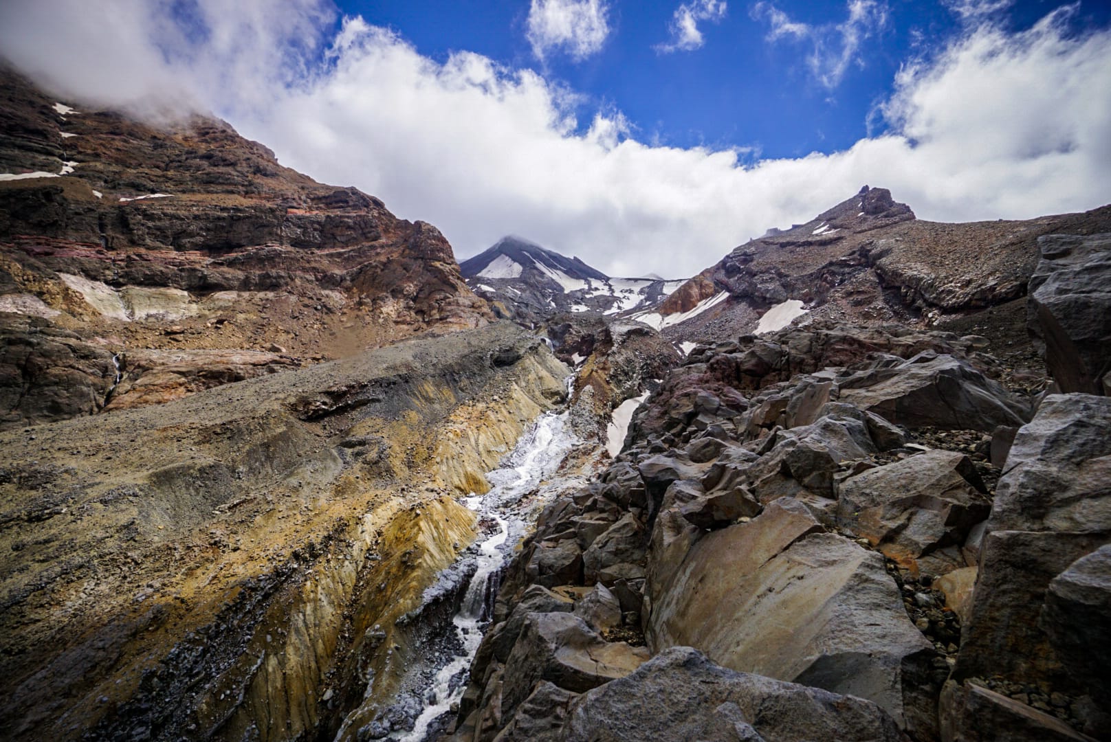
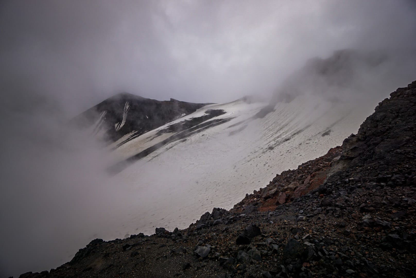
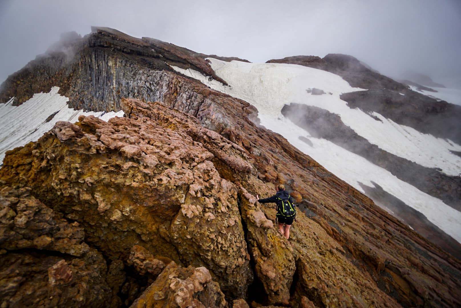
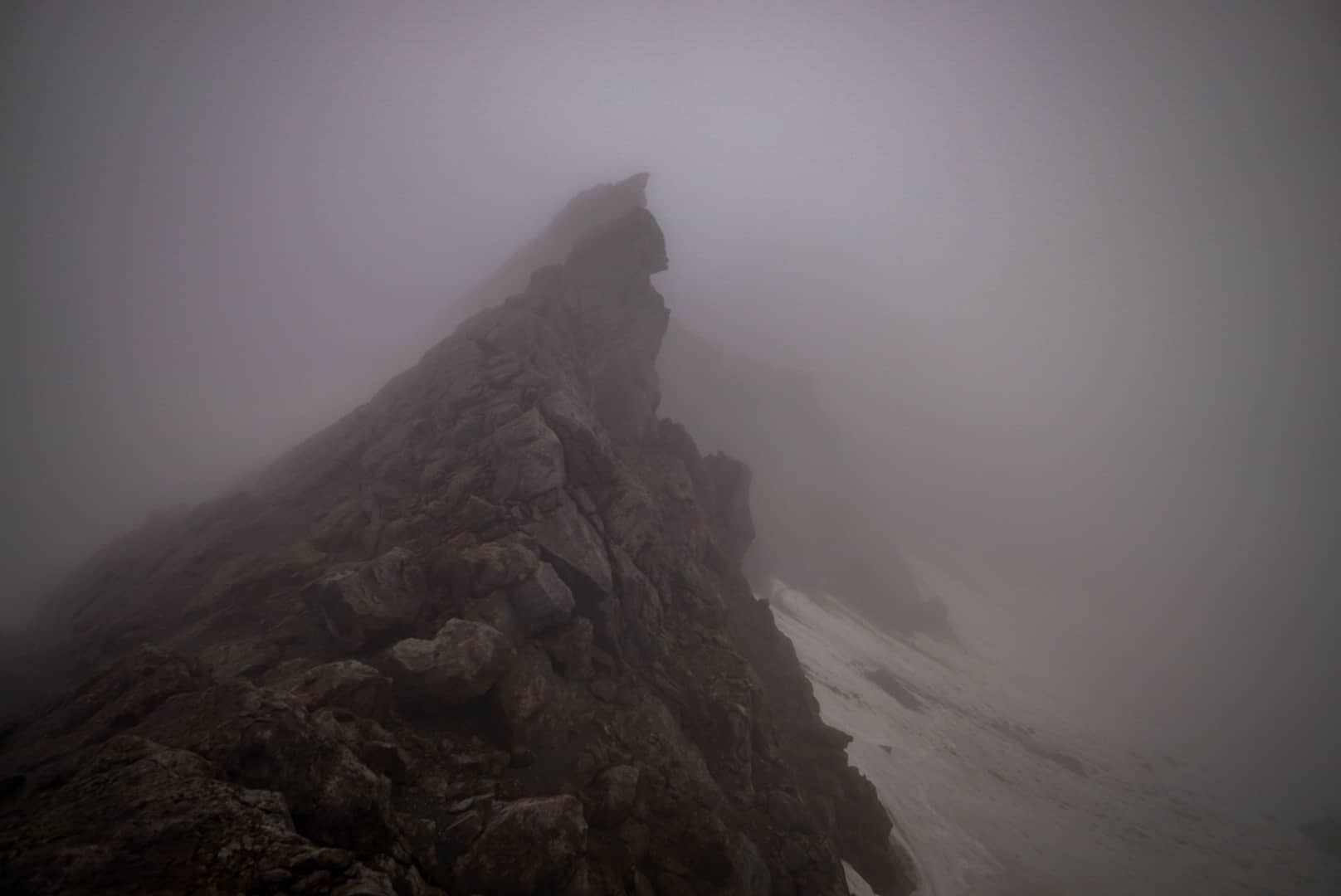
Today we needed to return back to the ski village, and decided to take a different route via Cathedral Rocks. Yesterday, we came down Whangeahu Glacier into the valley to get to Whangaehu Hut, which was below Cathedral Rocks. Today, we’d go between the same glacier we came down yesterday and Mangatoetoenui Glacier. The benefit of this route was we didn’t have to tackle much snow climbing. The problem was it was traversing sheer cliffs and around spires.
All went well on our visionless quest initially. The route was mostly a thick mud congealed scree from the wet weather, and was quite easy to hike on. At times, we had to boulder and climb up steep rock sections when getting closer to Cathedral Rocks.
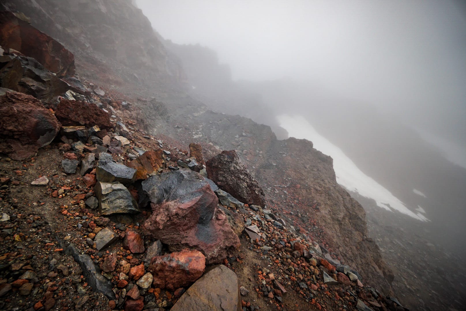
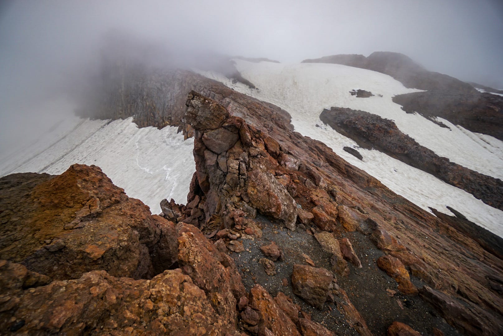
We often found ourselves getting stuck at cliff edges and having to backtrack slightly to take a more lateral route along the edge of the rock faces. The rock strata was tilted and the eastern side was the way to go to avoid most problems as it was the flatter part of the tilt. We only had a narrows range of rock though, as there was glacier either side of our raised ridge.
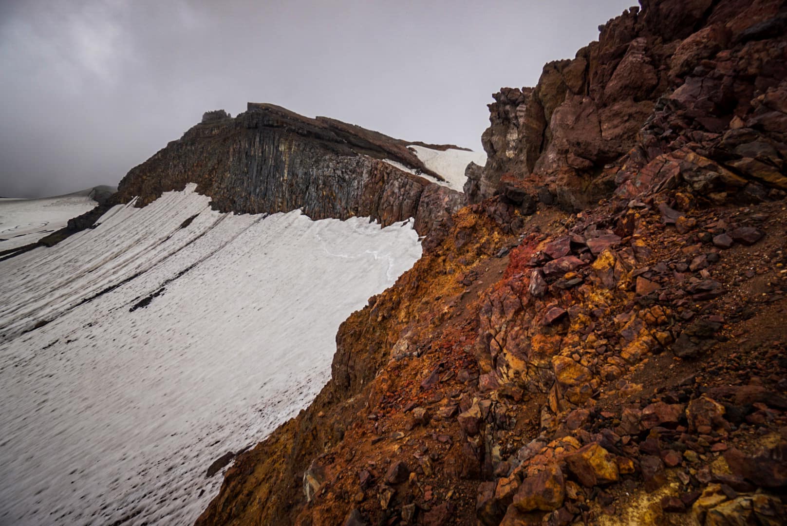
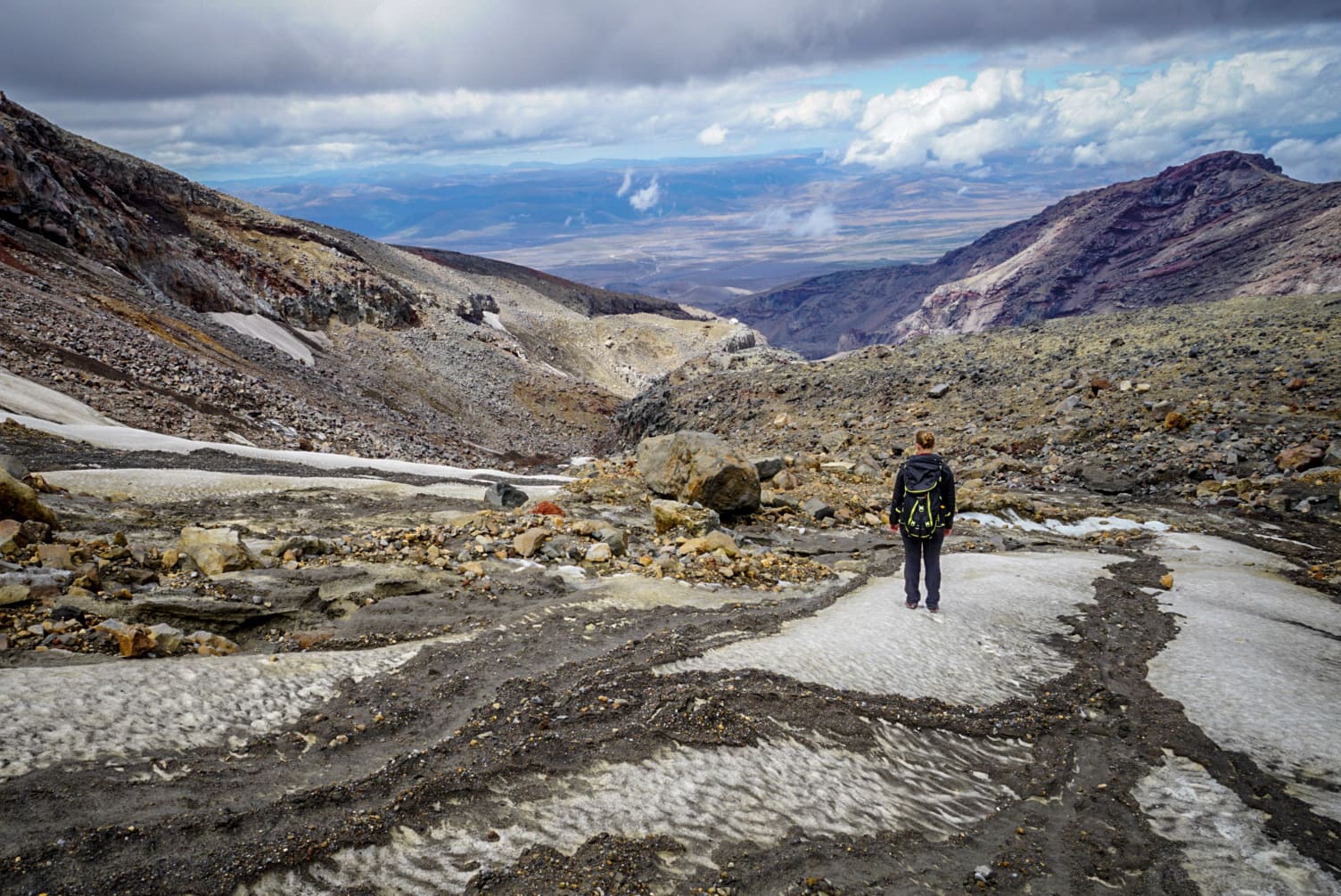
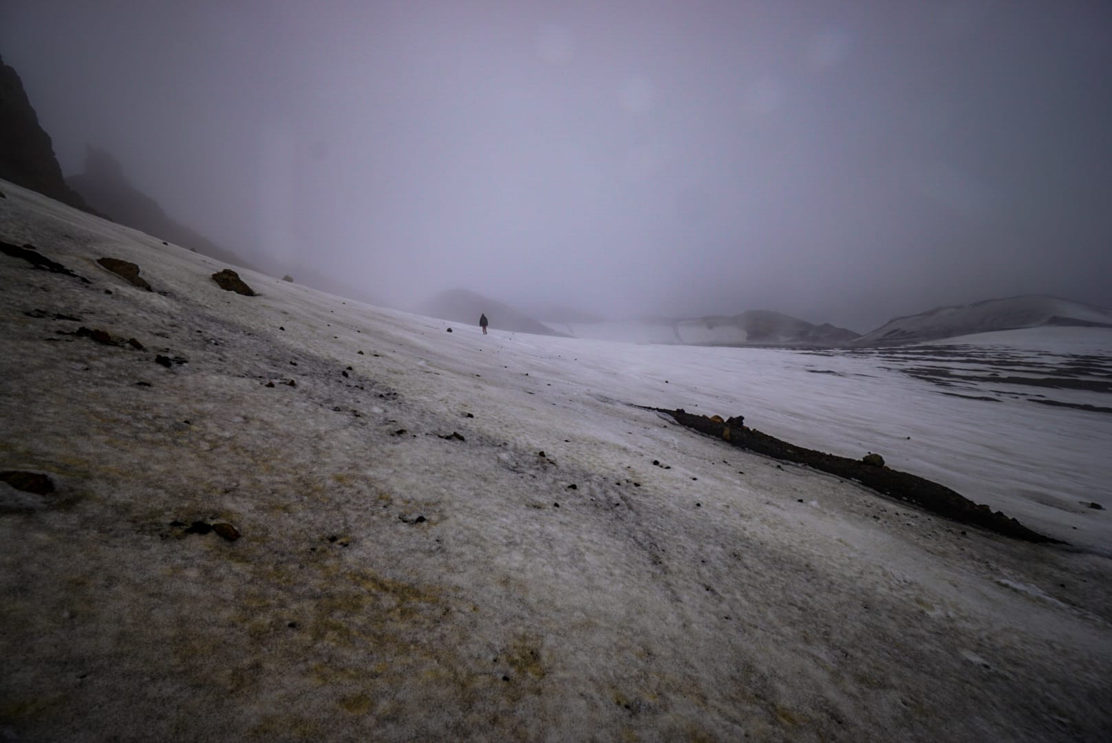
After some strenuous slogging up the final steep scree climbs we hit a steep cliff edge that led down to the Summit Plateau on the north-eastern side of Cathedral Rocks. We lowered ourselves down the easiest path possible, and hit the gassy snow and rocks below.
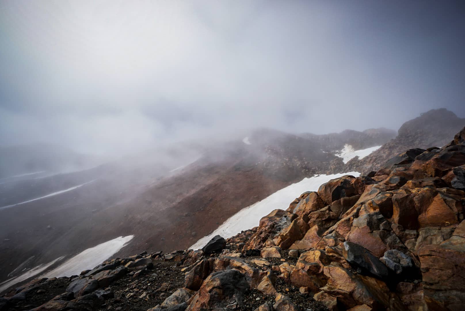
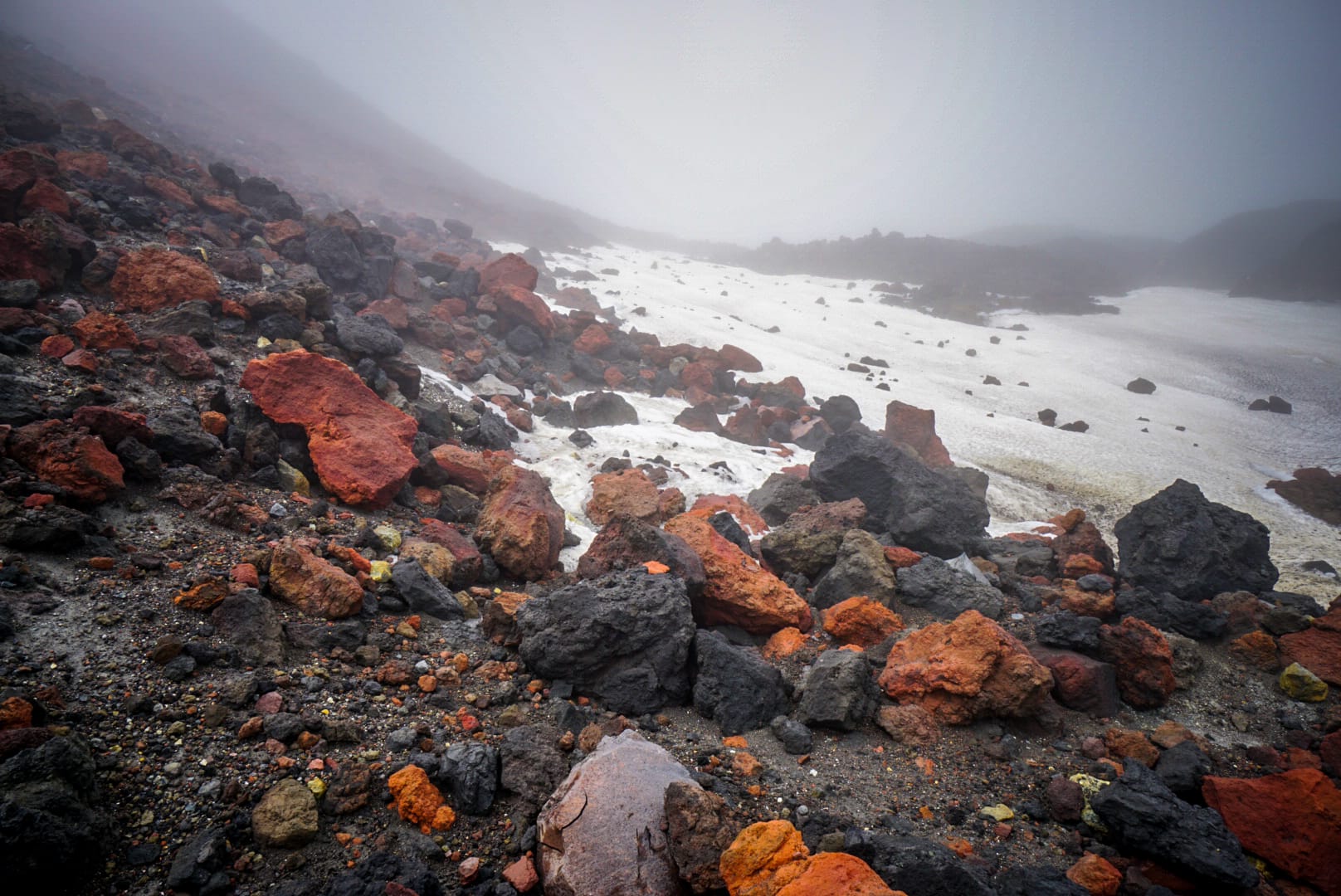
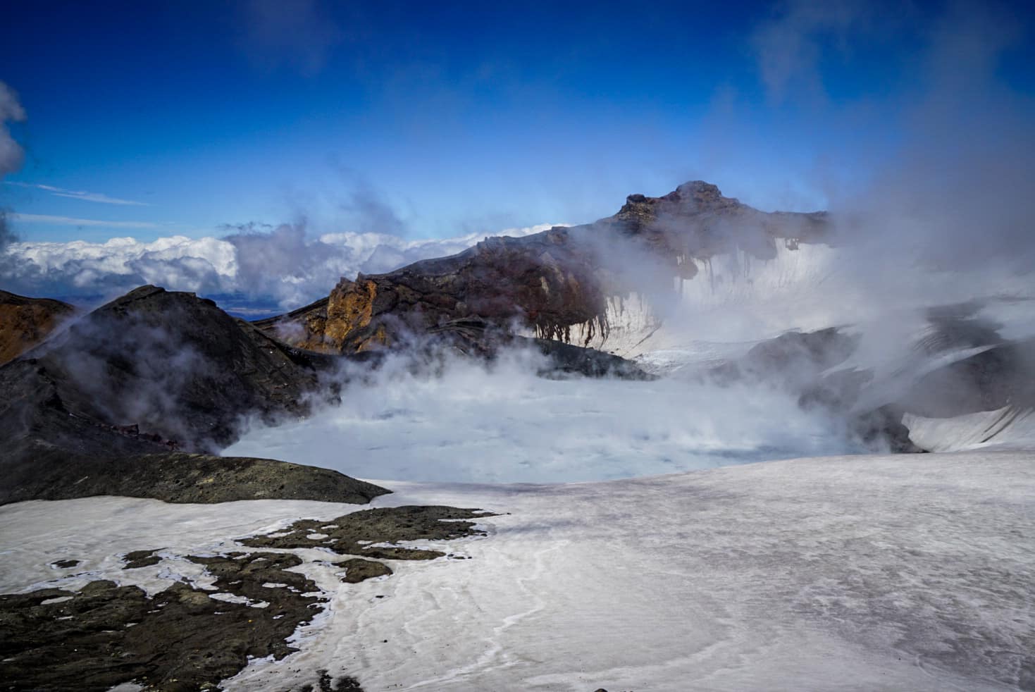
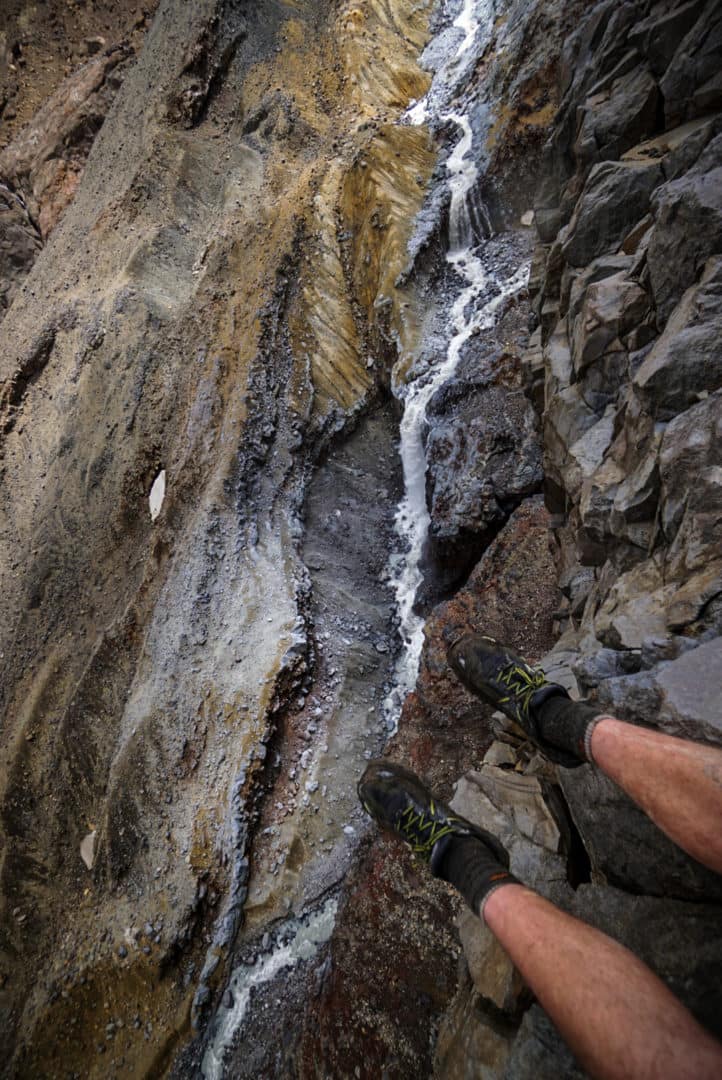
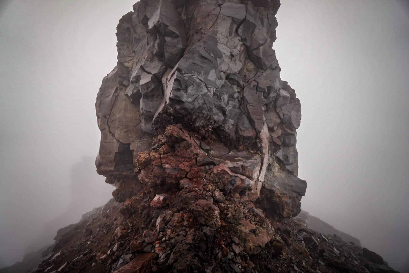
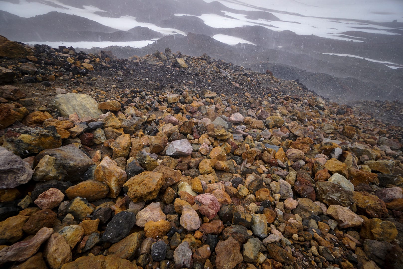
Mt Ruapehu is active and it last erupted just over 10 years ago. There are parts where sulfur based gases (either sulfur dioxide or hydrogen sulfide) are clearly noticeable by the rotten egg odour. Sometimes you can even see gas vents in the mud and scree with the sulphurous yellow tinge.
Summit Plateau
We saw two figures hiking along the ridge toward the Dome Shelter where we visited the day before. They were trying to do an outdoor gear photo shoot, but the conditions were still poor. We described how about this time yesterday when we were there it all opened up, and we got good views – and viola, just like that the clouds temporarily parted!
We still had the final descent before us down to the ski village. As we left Dome Peak (where the shelter was on), it began to snow on us. Hiking in the snow is great, you don’t really get wet and it looks cool. We were going to summit the highest peak (Tahurangi) from here initially, but the conditions were too grim, and we headed back happy to have covered more than most who hiked up here anyway.
We snow shoe-skiied down where we could and, again, blindly aiming for the ski village where my car was. The clouds were once again upon us, and we ended up going down a completely different way.
Eventually we made it, and headed back to the hostel for a hard-earned rest. The hike was overall amazing – getting a good taste of proper backcountry off-trail hiking in a remote and rarely traversed active volcano. Our stay in Whangaehu Hut was great, and well worth the effort.
Our trek involved a good variety of terrain types and definitely some rock climbing and bouldering skills came into good use. The gentler sloped snow was also a nice softness to hike on without traction control thankfully. Overall, a tough but awesome overnight hike! Glad the volcano didn’t decide to erupt then 😛
Your Donation Really Helps!
In order to support the travelling and hiking community, I spend many hours per week or month to adequately document all information and advice for prospective visitors, accompanied by a (hopefully) entertaining insight into my personal experiences. This service is, and will remain, free. However, running a non-profit website and spending time creating content comes with financial and personal costs.
Great description of your hike with amazing photos.
My only question is how long it took you from iwikau to whangaehu?
Cheers
Chris (a swedish kiwi)
Thanks for writing this up! We used it as inspiration for a 3-day route which included Whangaehu last week, https://chair6.net/mangatepopo-to-waihohonu-to-whangaehu-to-iwikau.html.
[…] draw of Tongariro National Park, I chanced on Whangaehu Hut. Procuring / researching, I chanced on two objects of inspiration. Checking the DOC bookings online page, I stumbled on 2 bunks at Waihohonu […]
[…] map of Tongariro National Park, I came across Whangaehu Hut. Searching / researching, I came across two pieces of inspiration. Checking the DOC bookings site, I found 2 bunks at Waihohonu for a night […]